Hello Friends,
At 0500 the MHL buoy was showing 1.4 metres of 7-sec ENE wind bump. As expected, daybreak saw overcast skies and light WNW wind. Tide will be low at 0825 and back to high at 1445. The weather radar is showing a fair amount of light precipitation out to the west of Sydney.
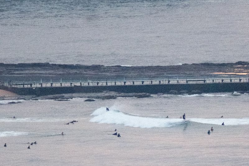
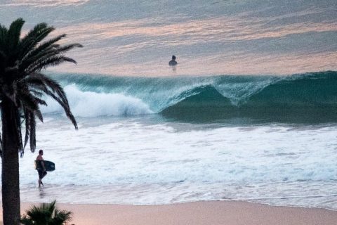
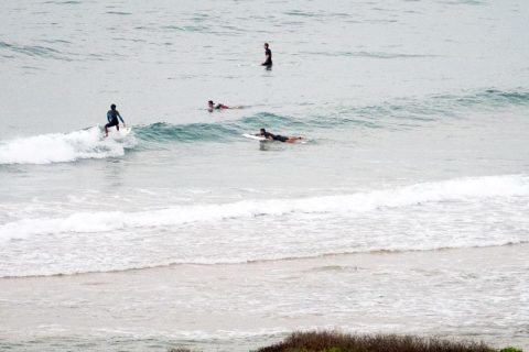
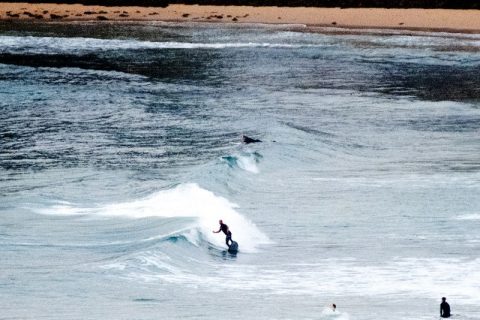
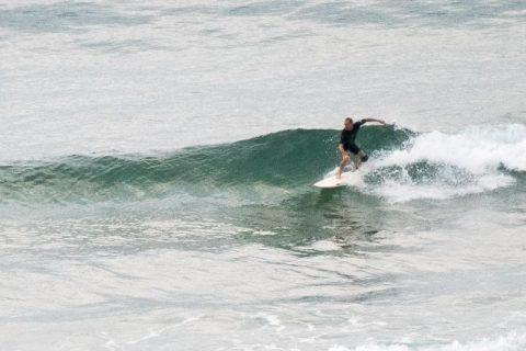
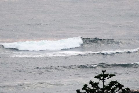
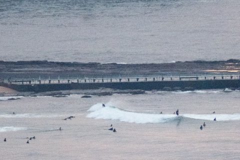
Conditions at the best spots (Northy and Long Reef beachy) saw sets into the thigh to waist range – but no where looked particularly juicy. You’ll want to be very keen and equipped with lots of flotation to do anything with this morning’s paltry options. Still, it was super clean and glassy for the first shift, so there is that…
Outlook for the week ahead isn’t too red hot according to the models. If they have it right, today and tomorrow morning could be the peak days until late next week. They’re all saying pretty much the same thing too, so not all that encouraging unfortunately. If you want real energy, you’ll need to head south to Victoria. Looks like they’ll cop some 3-5 metre stuff with pretty reasonable wind on Monday morning… the lucky pups.


Weather Situation
A strong high pressure system over the Tasman Sea is slowly moving east, maintaining a ridge across northeast New South Wales and directing northeast to northwesterly winds over the coastal waters. The ridge is expected to gradually weaken over the next few days as the high moves further east. A fast-moving cold front will bring a south to southwesterly change to the south coast from Sunday afternoon, extending to northern parts during Monday. Behind the front, a ridge will strengthen over New South Wales later on Monday, with winds swinging back to northeasterly.
Forecast for Saturday until midnight
Winds
Northerly 15 to 20 knots.
Seas
1 to 1.5 metres.
1st Swell
Northeasterly around 1 metre, increasing to 1 to 1.5 metres offshore during the morning.
2nd Swell
South to southeasterly around 1 metre.
Weather
Cloudy. 60% chance of showers.
Sunday 1 May
Winds
North to northwesterly 15 to 20 knots turning westerly in the evening.
Seas
1 to 2 metres.
Swell
Northeasterly 1 to 1.5 metres, decreasing to around 1 metre during the morning.
Weather
Partly cloudy. 60% chance of showers.
Monday 2 May
Winds
West to southwesterly 15 to 20 knots shifting northeasterly 10 to 15 knots during the afternoon then tending northerly during the evening.
Seas
1.5 metres, decreasing to 1 metre during the morning.
1st Swell
Southerly around 1 metre.
2nd Swell
Northeasterly around 1 metre.
Weather
Sunny.

