Hello Friends,
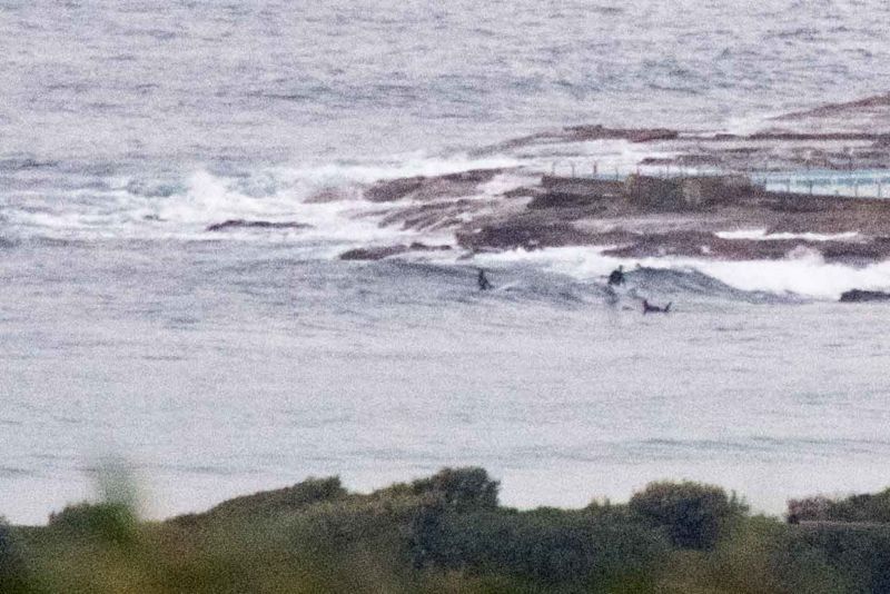
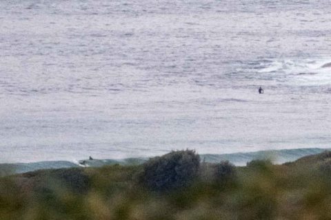
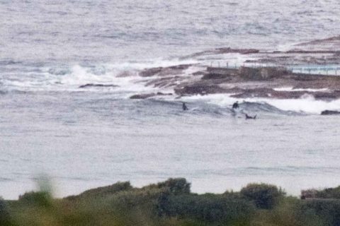
This morning looks like being the calm before the weekend storms. Wind was light offshore and the 1.3 metre 8-sec SSE swell was producing ankle to knee high waves at the point and maybe knee to waist along the beach. High tide was at 0620 and it’s now running out to the low at 1220. There’s an 80% chance of showers today.
Outlook is for the swell energy to remain about at the same marginal level through the day. But come tomorrow it really starts to ramp up as a gale warning is hoisted for 25-30 kts of NE wind (that may knock our weirdly warm water temps down too). At the same time the swell’s set to jump from around the current levels into the 2-4 metre range during the afternoon.
Sunday is looking bonkers. The Bureau says we can expect 4-7(!) metres of 12-13 sec NE swell and roaring 25-40 kt NE wind with it. Oh, and there’ll be rain and more rain, so water quality is likely to get hit too. High tide will be at 0815 and I reckon we’re going to see a lot of sand moved off the beaches, particularly along the Collaroy-Narrabeen stretch.
It looks like the craziness will run into Monday as the swell drops back a touch into the 3-4 metre range but swings east at 12-13 sec. The 3 metre east stuff could last through the week and some models have the wind going west from Monday… should be interesting.
Plainly the coming week will really be for the most fit and experienced surfers.
Go well with your Friday one and all and keep on smilin’!
Weather Situation
A deepening low pressure trough over the northern inland of NSW is forecast to move eastwards across inland areas today and during Saturday to be located near the New South Wales coast later on Saturday. An East Coast Low is forecast to develop within this low pressure trough off the southern Queensland or northern New South Wales coast Saturday night or early on Sunday. The East Coast Low is then expected to move slowly southwards during Sunday and Monday.
Forecast for Friday until midnight
Winds
Variable about 10 knots becoming northeasterly 10 to 15 knots in the evening.
Seas
Below 1 metre, increasing to 1 to 1.5 metres offshore later in the evening.
1st Swell
Southeasterly 1 to 1.5 metres, decreasing to around 1 metre during the morning.
2nd Swell
Easterly around 1 metre.
Weather
Cloudy. 80% chance of showers. The chance of a thunderstorm.
Saturday 4 June
Gale Warning for Saturday for Sydney Coast
Winds
Northeasterly 15 to 25 knots increasing to 25 to 30 knots in the morning. Winds reaching up to 35 knots offshore in the evening.
Seas
1 to 2 metres, increasing to 2 to 4 metres during the morning.
Swell
Southeasterly 1 to 1.5 metres, tending northeasterly 1 to 1.5 metres during the morning, then increasing to 2 to 4 metres during the afternoon.
Weather
Cloudy. 90% chance of rain. Rain and showers heavy at times. A thunderstorm likely.
Sunday 5 June
Winds
East to northeasterly 25 to 40 knots.
Seas
3 to 4 metres.
Swell
Easterly 3 to 4 metres, tending northeasterly 4 to 7 metres during the morning.
Weather
Cloudy. 95% chance of rain. Rain heavy at times.
Caution
Large and powerful surf conditions are expected to be hazardous for coastal activities such as crossing bars by boat and rock fishing.


