Hello Friends,
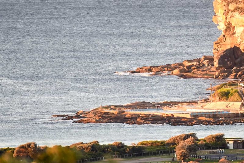
Back in Sydney once more and what do we have on the surf front? Nothin’! Wind was out of the NW at 10-15 kts at North Head and 20-22 kts at Kurnell and wind swell was about a metre from the south but with an average period of 6 seconds it’s pretty much flat.
It looks from the forecasts as though we might possibly have something in the surfable range on Friday thanks to a long period pulse from the south. But for now, well, I guess I’ll get on to all those chores that back up when you’ve been away for close to a month.
Have yourself a fine old Wednesday one and all!

.
.
Weather Situation
A cold front is approaching New South Wales waters from the west. West to northwest winds will turn southwesterly and increase during Wednesday as the front crosses the New South Wales coast and moves east over the Tasman Sea. Winds are forecast to ease from Thursday as a high pressure system moves over southeast Australia in the wake of the front.
Forecast for Wednesday until midnight
Strong Wind Warning for Wednesday for Sydney Coast
Winds
Northwesterly 20 to 25 knots, reaching up to 30 knots offshore. Turning west to southwesterly 20 to 30 knots in the late morning and early afternoon, then decreasing to 15 to 25 knots by evening.
Seas
1 to 2 metres, increasing to 2 to 3 metres offshore.
Swell
Southerly around 1 metre.
Weather
Mostly sunny. 40% chance of showers offshore.
Thursday 28 July
Winds
West to southwesterly 10 to 20 knots.
Seas
1 to 2 metres.
Swell
Southerly 1 to 1.5 metres, increasing to 1.5 to 2.5 metres during the morning.
Weather
Sunny.
Friday 29 July
Winds
Westerly 15 to 20 knots tending southwesterly during the evening.
Seas
Around 1 metre.
Swell
Southerly 1 to 2 metres, decreasing to 1 to 1.5 metres during the morning.
Weather
Mostly sunny.

