Hello Friends,
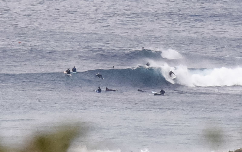
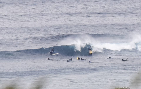
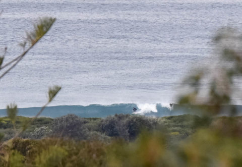
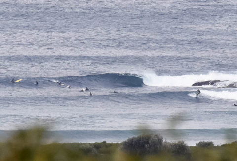
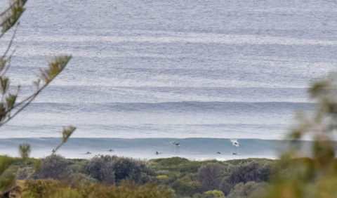
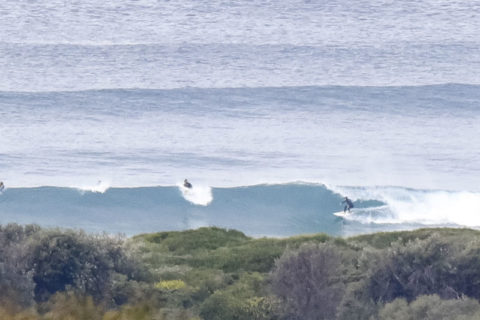
Swell is out of the SSE this morning. It was around the 1.8 metre mark and the period was close to 12 seconds so set wave faces were into the head high range on the bigger ones. Pretty busy in the water at both the point and along the beach, but it didn’t look too nutty for a Sunday. Tide was high at 0600 and will be back to low at 1145.
Swell should stick around all day and the wind is set to stay westerly in the 10-15 kt range. So, waves all day.
Outlook is for energy levels to fade back a little tomorrow but then to bump up again Tuesday in the run up to what the models currently predict to be a significant swell event. The more optimistic forecasts are projecting 4-6 metre south swell on Friday-Saturday accompanied by brisk WSW wind. The Bureau says it’ll be showery from Tuesday through to the weekend at least.
Go well with your Sunday and maybe check back later to see if I’ve picked up a few more piccies to share…

.
.
.
.
.
.
.
Weather Situation
A cold front is expected to affect the southern parts of the coast today while a high pressure system lies over the north. A stronger cold front and associated upper level trough is expected to reach New South Wales on Monday. This front is expected to move through the remainder of the state on Tuesday with a deep low pressure system developing over the Tasman Sea. A vigorous airstream around the low is likely to persist for the remainder of the week as it moves slowly east.
Forecast for Sunday until midnight
Winds
Westerly 10 to 15 knots, reaching up to 20 knots offshore during the morning and early afternoon.
Seas
1 to 1.5 metres.
Swell
Southerly 1.5 to 2.5 metres.
Weather
Partly cloudy.
Caution
Deceptively powerful surf conditions are expected to be hazardous for coastal activities such as crossing bars by boat and rock fishing.
Monday 1 August
Winds
Northwesterly 10 to 15 knots reaching up to 20 knots offshore in the evening.
Seas
Below 1 metre, increasing to 1 to 1.5 metres offshore during the morning.
Swell
Southerly 1.5 to 2 metres.
Weather
Partly cloudy. 20% chance of rain.
Tuesday 2 August
Winds
West to northwesterly 10 to 15 knots turning southwesterly 15 to 25 knots during the morning then increasing to 25 to 35 knots during the afternoon.
Seas
1 to 1.5 metres, increasing to 2 to 4 metres during the afternoon.
Swell
Southerly around 1 metre, increasing to 1.5 to 2.5 metres during the evening.
Weather
Cloudy. 80% chance of showers.

