
Hello Friends,
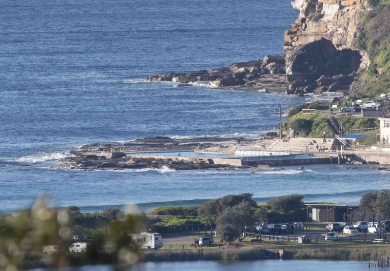
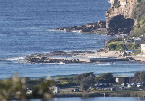
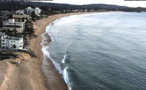
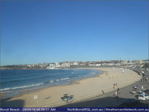
Very small to flat at Dee Why and south Narrabeen this morning. That said, the MHL buoy is showing a metre of 8-sec south swell and means places like Curly or Longy possibly, have some knee high bumps. So, you have to look around and keep your expectations brutally realistic, but there should be a tiny little something for the keen. Weather is set to be sunny all day. Wind should be favourable through most of the day but by late afternoon it’s set to be NE. Tide was high at 0630 and’ll be back to low at 1220.
Wind and rain is on tap for tomorrow but since the weather’s coming from the N to NE I’m not expecting much more than (maybe) choppy, beat up wind swell at the usual summer suspects.
Beyond that, I’m not seeing much of interest in the forecast models. It looks like an extended stretch of mostly small and short period wind bump. Be interesting to see what the Goat thinks tomorrow.
Have yourself a top old Wednesday one and all!
Weather Situation
A high pressure ridge over eastern Australia is weakening as a complex low pressure system develops in the Bight. This low, together with a strong cold front, will move across southeast Australia from late on Wednesday through to Friday. South to southwesterly winds over New South Wales waters will turn northwest to northeasterly on Wednesday, strengthening during Thursday as the cold front approaches. A westerly change is expected late on Thursday or early on Friday as the cold front moves through, before winds gradually tend southwesterly by the weekend as the low pressure system moves offshore.
Forecast for Wednesday until midnight
Winds
South to southwesterly 15 to 20 knots, reaching up to 25 knots offshore early in the morning. Decreasing to 10 to 15 knots in the middle of the day then turning east to northeasterly 15 to 20 knots in the afternoon and evening.
Seas
1 to 2 metres, decreasing to 1 to 1.5 metres during the morning.
Swell
South to southeasterly 1 to 1.5 metres.
Weather
Mostly sunny.
Thursday 29 September
Gale Warning for Thursday for Sydney Coast
Winds
North to northeasterly 20 to 25 knots increasing to 25 to 35 knots early in the morning then turning northwesterly 15 to 25 knots during the afternoon and evening.
Seas
2 to 4 metres, decreasing to 1.5 to 2.5 metres by early evening.
Swell
East to northeasterly around 1 metre, increasing to 1.5 to 2 metres during the afternoon.
Weather
Cloudy. 90% chance of rain. The chance of a thunderstorm in the late morning and afternoon.
Friday 30 September
Winds
Northwesterly 20 to 30 knots.
Seas
1 to 2 metres, increasing to 2 to 3 metres offshore.
Swell
Northeasterly below 1 metre.
Weather
Cloudy. 50% chance of showers.

