
Hello Friends,
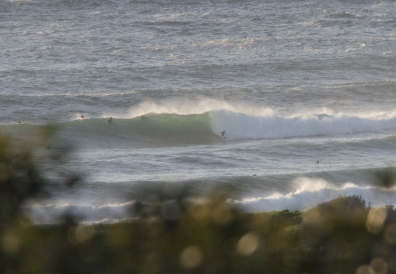
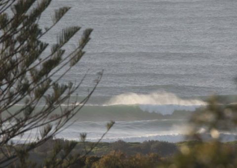
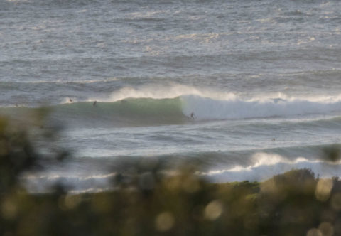
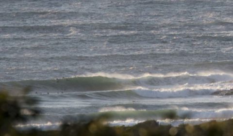
Swell’s expected to drop later today but at 0630 it was still 3 metres from the SSE at 11 seconds and that meant triple overhead faces on the biggest catchable ones at the point. Plus there were a few bigger than that. The beach was out of control and surface conditions looked fairly lumpy. Wind was light and NW as the day got started. Tide was high at 0530 and is dropping to the low at 1115. Should be sunny all day and warming up to a summery 26 later. And the wind’s going to be summery too, coming around to the NE at 15-20 kts by lunch time.
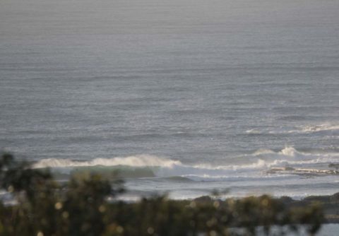
Swell’s expected to fade fairly quickly over the next 24 hours and by Thursday morning we could be back to micro again. This morning’s models, it looks like we’ll be dealing with small to flat through to the late weekend when there currently seems to be some prospect of a summery NE wind driven short period pulse.
I’m planning to spend a little time this morning shooting, so check back later for more piccies from around and about…
Have a great day and beginners, you should probably wait another day before going for a surf.
Weather Situation
A low pressure system over the eastern Tasman Sea is generating large swell along the New South Wales Coast but is also weakening. A high pressure system over eastern New South Wales will slowly drift east across the northern Tasman Sea for the next few days resulting light moderate winds along the coast, turning north to northwesterly over the next day or two. A southerly change associated with a cold front is expected to enter the far south coast late Wednesday. This change will gradually extend northwards, reaching the far north coast by early Friday.
Forecast for Tuesday until midnight
Winds
West to northwesterly below 10 knots becoming north to northeasterly 15 to 20 knots in the middle of the day then tending north to northwesterly in the late evening. Winds reaching up to 25 knots offshore in the late evening.
Seas
Below 1 metre, increasing to 1 to 1.5 metres during the afternoon.
Swell
Southerly 3 to 4 metres, decreasing to 2 to 3 metres during the morning.
Weather
Partly cloudy.
Caution
Large and powerful surf conditions are expected to be hazardous for coastal activities such as crossing bars by boat and rock fishing.
Wednesday 26 October
Winds
Northwesterly 10 to 15 knots, reaching up to 20 knots offshore early in the morning. Winds turning northerly in the middle of the day.
Seas
1 to 1.5 metres.
Swell
Southerly 1 to 2 metres, decreasing to around 1 metre during the morning.
Weather
Partly cloudy.
Thursday 27 October
Winds
Northwesterly 10 to 15 knots shifting southerly 15 to 25 knots during the morning then increasing to 25 to 30 knots during the afternoon.
Seas
1 to 1.5 metres, increasing to 1.5 to 2.5 metres during the afternoon.
1st Swell
Southerly around 1 metre.
2nd Swell
Northeasterly around 1 metre.

