
Hello Friends,
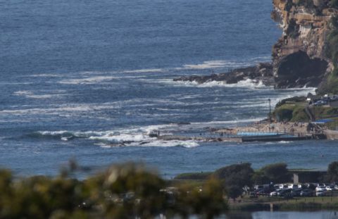
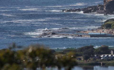
Warm with light and variable WNW breeze as of 0800 on sunny Sunday morning. There’s a tiny 8-second period east wind bump drifting into Dee Why but it seemed to be getting swamped by the 0745 high tide. The Bureau says the wind’ll come around to the west and be into the 25-30 kt range. Being straight offshore, you’d have to expect it to blow the weak little wind swell flat.
Tomorrow should see westerlies and no real waves in the morning and then strong southerlies in the afternoon which should be followed by a gradual increase in south swell. Tuesday’s looking to be southerly with some prospects in corners out of the wind.
That exciting looking long range forecast chart I shared yesterday has reverted to a much less interesting prediction today. Still it does seem possible we’ll see some okay waves from the south with light winds and sunny skies for Wednesday-Thursday. I’m hoping for chest plusses at standout spots.
Have yourself a great Sunday everyone!

