
Hello Friends,
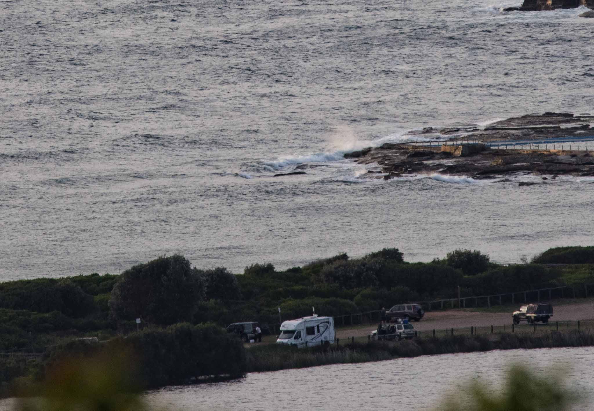
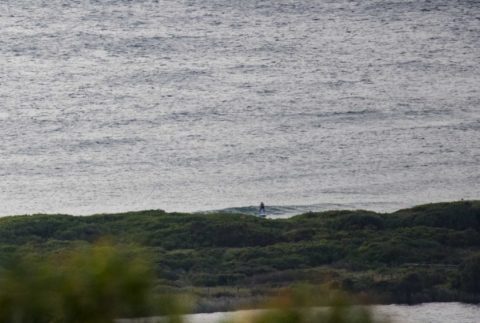
Heading to a high of 38 today says the Bureau. At 0630 the RealSurf weather station was showing 29 degrees and wind at North Head was WNW at 9-12 kts, so yeah, it’s going to be warm. As the pictures show, there wasn’t much of anything going on at Dee Why surfwise. There were a few folks out on their SUPs looking for little bumps to glide along.
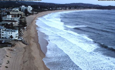
The WRL cam shot from 0530 showed lots of little lines so other more NE-friendly spots ought to be a better prospect than Dee Why.
The MHL buoy was showing a metre 6-second NE wind chop at 0400 which is right in line with the Bureau’s predictions. There doesn’t seem to be any reason to think things will improve on the surf front today. We should see a south change late this afternoon and tomorrow looks likely to be rainy, much cooler and dominated by SE’ly wind. The Bureau says the swell will come up from the south, but the models are predicting only very short period wind bump, so I’m not too hopeful.
There could be a more interesting uptick in south swell energy late Saturday into Sunday morning. Unfortunately it seems likely that the peak swell energy will be accompanied by stiff south wind. Here’s hoping the period will be long enough to let some swell refract into semi-protected corners.
As always, we shall see. So have yourself a top old day and stay happy!
Weather Situation
A high pressure system over the Tasman Sea is moving east maintaining a ridge to the northern coast of New South Wales and directing north to northeasterly winds. On Wednesday, a low pressure trough is expected to bring a south to southeasterly change along the southern half of the coast before stalling and weakening on the north coast during Thursday. A high pressure ridge will extend across the Coastal Waters once again on Friday with winds tending north to northeasterly.
Forecast for Wednesday until midnight
Winds
North to northwesterly 15 to 20 knots, tending westerly and reaching up to 25 knots in the morning. Winds shift south to southeasterly in the late afternoon.
Seas
1 to 2 metres, decreasing to 1 metre around midday.
Swell
North to northeasterly around 1 metre.
Weather
Mostly sunny morning. 40% chance of showers late this afternoon and evening.
Thursday 15 December
Winds
Southeasterly 15 to 20 knots turning easterly 10 to 15 knots in the late evening.
Seas
1.5 to 2 metres, decreasing to 1 to 1.5 metres during the afternoon.
1st Swell
Southerly around 1 metre, increasing to 1.5 to 2 metres during the morning.
2nd Swell
Northeasterly below 1 metre, increasing to around 1 metre offshore.
Weather
Partly cloudy. 70% chance of showers.
Friday 16 December
Winds
Easterly 15 to 20 knots turning north to northeasterly 20 to 30 knots during the day.
Seas
1 to 2 metres.
Swell
Southerly 1.5 to 2 metres, decreasing to 1 to 1.5 metres during the morning.
Weather
Cloudy. 70% chance of showers.

