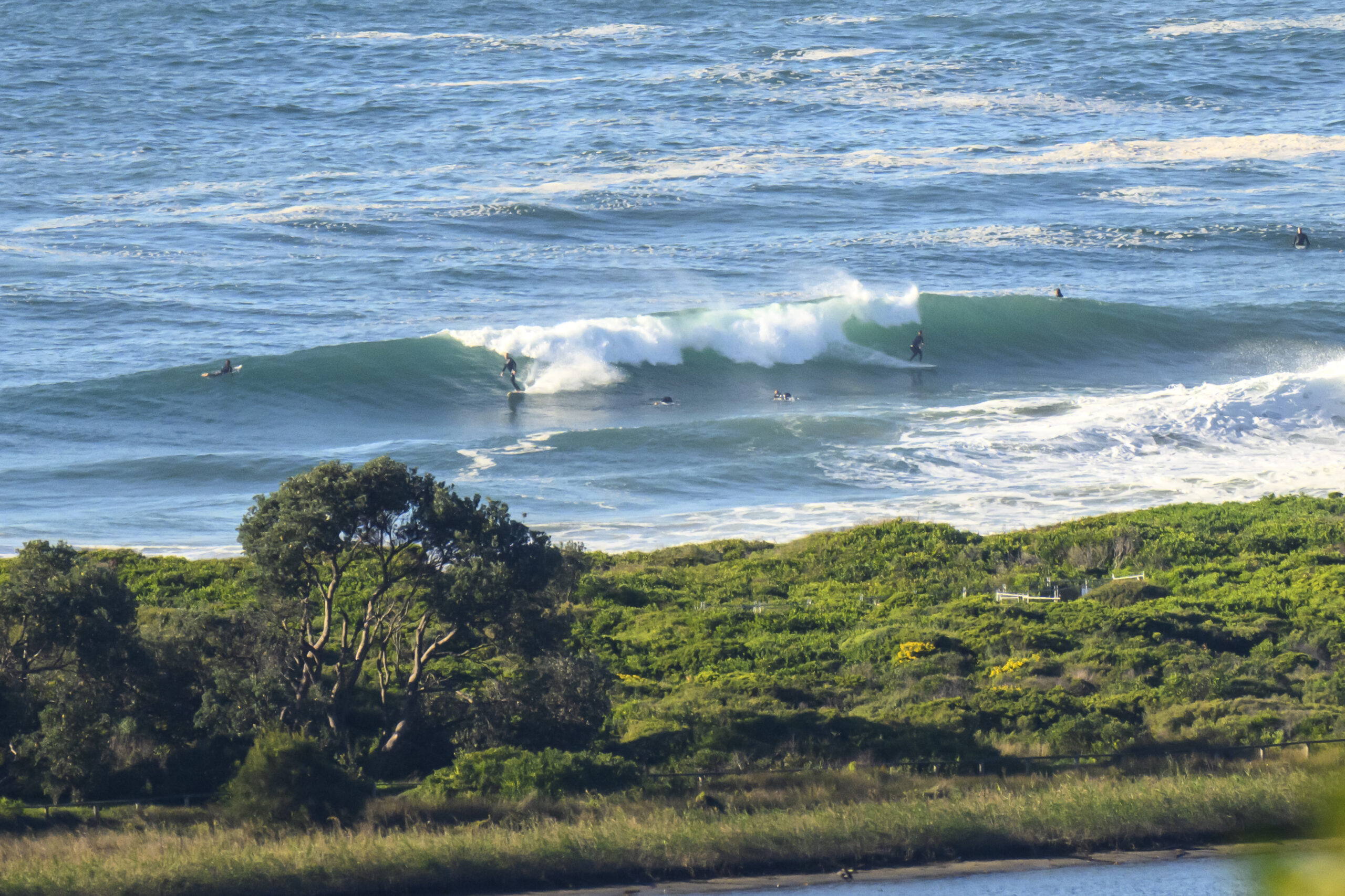
Surf forecast issued Thursday 19 January 2017: Seven day outlook for Sydney:
A dull day today (just in the sky, not in the News) after the Southerly ripped through yesterday. The Southerly brought rapid and welcome relief from the hot weather and some waves as well, which have started to go down already as the wind has turned East North East/North East.
For the week ahead … lots of wind changes and lots of wave changes ~~ and a State Premier and a US President change or two.
Friday: down at first from today, say around the low end of the 1-2 metre range at places that get dead South swell… coming up later
Saturday: coming up more to around say 2-2+ metres at places that are open to dead South swell – with southerly wind… maybe just a little might get into protected corners
Sunday: down a little, but sets still around 2 metres or so at dead South places
Monday: in the 1-2 metre range East South East (with a light Noreaster forecast)
Tuesday: down in the low end of the 1-2 metre range East North East
Wednesday: up again.. 2 or so metres at dead South spots only
Thursday: down in the 1-2 metre range dead South
Up in the Sky

Wind
https://www.windytv.com/?-33.859,151.200,5
Down in the Sea
Water temp offshore is around 22…onshore it’s been a little cooler at times but should be around that for the week ahead.

Tides
http://www.rms.nsw.gov.au/documents/maritime/usingwaterways/tides-weather/tide-tables-2016-2017.pdf
Weather from the Bureau:
Forecast for the rest of Thursday
- Summary

- Max 25
- Cloudy.
- Chance of any rain: 20%

Sydney area
Cloudy. Slight (20%) chance of a shower, becoming less likely in the early afternoon. Winds easterly 15 to 25 km/h turning northeasterly 15 to 20 km/h in the evening.
Fire Danger – Low-Moderate
Sun protection recommended from 9:00 am to 5:30 pm, UV Index predicted to reach 15 [Extreme]
7 day Town Forecasts
| Precis Icon | Location | Min | Max |
|---|---|---|---|
| Sydney | – | 25 | |
| Penrith | – | 26 | |
| Liverpool | – | 25 | |
| Terrey Hills | – | 23 | |
| Richmond | – | 27 | |
| Parramatta | – | 25 | |
| Campbelltown | – | 25 | |
| Bondi | – | 24 |
Friday 20 January
- Summary

- Min 22
- Max 28
- Showers. Possible storm.
- Possible rainfall: 6 to 15 mm
- Chance of any rain: 95%

Sydney area
Cloudy. Very high (95%) chance of showers, most likely in the morning and afternoon. The chance of a thunderstorm. Winds north to northeasterly 25 to 35 km/h shifting southerly 20 to 30 km/h in the late evening.
Sun protection recommended from 8:50 am to 5:30 pm, UV Index predicted to reach 15 [Extreme]
Saturday 21 January
- Summary

- Min 22
- Max 26
- Windy. Cloudy.
- Possible rainfall: 0 mm
- Chance of any rain: 10%

Sydney area
Cloudy. Winds southeast to southwesterly 15 to 20 km/h tending southerly 30 to 45 km/h during the morning then becoming south to southeasterly and light during the evening.
Sun protection recommended from 9:00 am to 5:30 pm, UV Index predicted to reach 14 [Extreme]
Sunday 22 January
- Summary

- Min 21
- Max 27
- Partly cloudy.
- Possible rainfall: 0 mm
- Chance of any rain: 5%

Sydney area
Partly cloudy. Light winds.
Sun protection recommended from 9:00 am to 5:30 pm, UV Index predicted to reach 15 [Extreme]
Monday 23 January
- Summary

- Min 20
- Max 30
- Mostly sunny.
- Possible rainfall: 0 mm
- Chance of any rain: 10%

Sydney area
Mostly sunny. Light winds becoming northeasterly 15 to 25 km/h during the day.
Tuesday 24 January
- Summary

- Min 24
- Max 36
- Hot. Shower or two.
- Possible rainfall: 1 to 6 mm
- Chance of any rain: 70%

Sydney area
Hot. Partly cloudy. High (70%) chance of showers. Winds north to northwesterly 15 to 20 km/h shifting southerly 25 to 35 km/h later.
Wednesday 25 January
- Summary

- Min 22
- Max 25
- Showers.
- Possible rainfall: 3 to 15 mm
- Chance of any rain: 80%

Sydney area
Cloudy. High (80%) chance of showers. Winds southerly 25 to 35 km/h turning southeasterly 15 to 20 km/h during the morning.

