Hello Friends,
Wave energy has cogged down another notch and the surf options have decreased from yesterday’s paltry options. The MHL buoy was showing 1.2 metres of 6-second east wind bump at 0500. At 0700 wind was light from the NW. The next tide is a low at 1110.
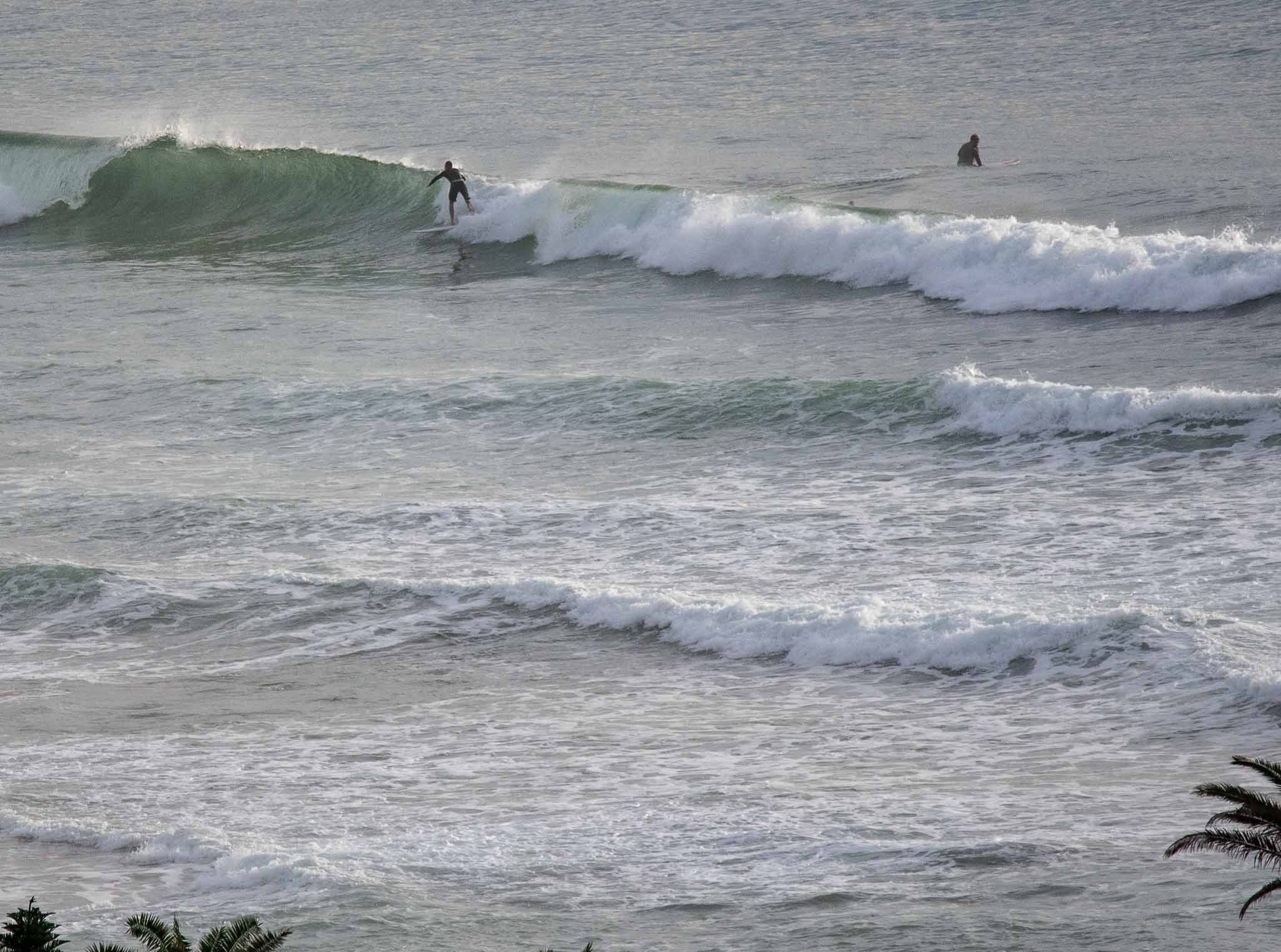
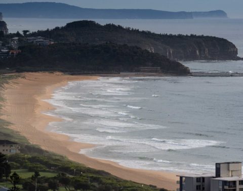
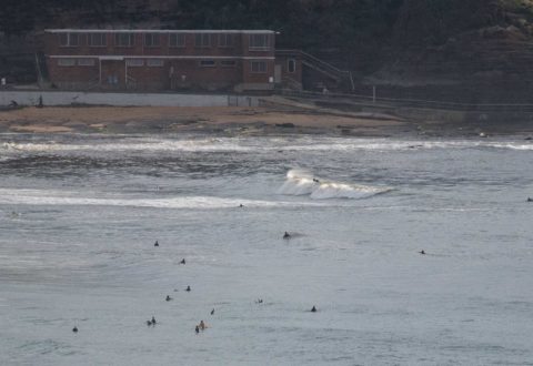
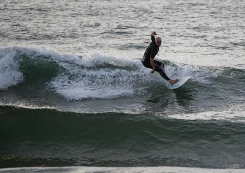
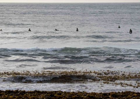
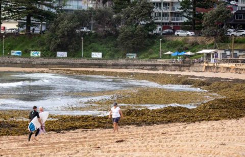
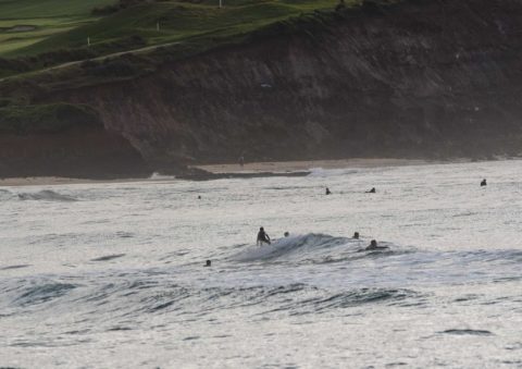
Looking around at Dee Why and the Collaroy Narrabeen stretch revealed glassy but very small and weak conditions everywhere. Take your floatiest surf option and a heap of patience I’d say. Biggest wave face I saw was (briefly) chest high. But mostly it was more like ankle to knee – and not consistent.
Outlook is for a southerly to kick in overnight and tomorrow morning it’s supposed to be 15-25 kts as the swell starts to come up. At least a couple of the fine-grained wind forecasts are showing the possibility of early morning offshores… so might be worth setting the alarm on the offchance…
Have a great day everyone!

Weather Situation
A high pressure system over the southern Tasman Sea is extending a ridge to the northwest directing north to northeasterly winds along the New South Wales coast. A cold front is expected to bring a southerly change along the south coast later today, extending to Sydney Waters Thursday morning before weakening on the north coast in the evening.
Forecast for Wednesday until midnight
Winds
Northerly 10 to 15 knots shifting southerly 15 to 25 knots in the late evening.
Seas
1 to 1.5 metres, decreasing to 1 metre during the morning.
Swell
Northeasterly around 1 metre.
Weather
Cloudy. 80% chance of showers. The chance of a thunderstorm.
Thursday 23 March
Winds
Southerly 15 to 25 knots.
Seas
Around 1 metre, increasing to 1.5 to 2 metres during the morning.
Swell
Southerly 1 to 1.5 metres, increasing to 2 to 3 metres during the morning.
Weather
Cloudy. 70% chance of showers.
Friday 24 March
Winds
Southerly 15 to 25 knots.
Seas
1 to 1.5 metres, increasing to 1.5 to 2.5 metres during the morning.
Swell
Southerly 2 to 3 metres.
Weather
Partly cloudy. 60% chance of showers.

