Hello Friends,
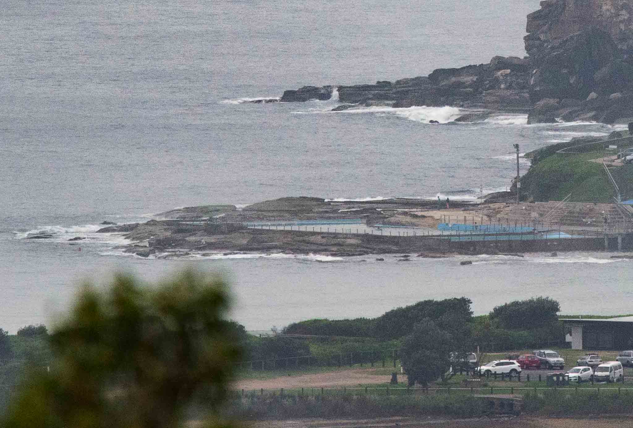
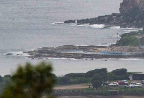
Only a faint northerly breeze wafting in this morning before 0800. Tide was running into the 1.8m 1000 high and skies were murky grey. At 0500 the MHL buoy was detecting only half a metre of 9-sec east wind bump and by the time I grabbed the pic it definitely hadn’t picked up. I’d call Dee Why ankle to maybe knee on the biggest ones.
The wind’s going to pick up soon and be 15-20 kts by around lunch time The murk should gradually burn off by this afternoon as the temp goes up to 29.
While there’s no real prospect of an improvement to surf conditions today in Sydney, tomorrow could be quite a contrast. There’s a gale warning posted on the BoM site for a vigorous south change. Swell will ramp right up but I’m not expecting much in the way of surf options. Plus there’s a 90% chance of up to 20-45mm of rain.
The southerly could vary to the SW in the morning Friday and then stay out of that direction into next week. It looks like being cloudy and showery across the period but maybe there’ll be waves into the surfable range for south swell, sw wind favoring spots…here’s hoping!
Go well with your Wednesday everyone
Weather Situation
A high pressure system over the Tasman Sea extends a ridge towards the northern New South Wales coast, directing generally northerly winds along the entire coast during Wednesday. A strong cold front will bring a vigorous southerly change to southern and central parts of the coast on Thursday, continuing north during Friday and intensifying as it meets with a low pressure system near the Queensland border.
Forecast for Wednesday until midnight
Winds
North to northeasterly about 10 knots increasing to 15 to 20 knots in the morning. Winds reaching up to 25 knots offshore in the evening.
Seas
Below 1 metre, increasing to 1 to 1.5 metres during the morning, then increasing to 1 to 2 metres during the afternoon.
Swell
Northeasterly below 1 metre.
Weather
Partly cloudy.
Thursday 30 March
Gale Warning for Thursday for Sydney Coast
Winds
Northerly 15 to 25 knots ahead of a southerly change 20 to 30 knots during the morning and increasing to 30 to 40 knots in the evening.
Seas
1.5 to 2.5 metres, decreasing to 1 to 1.5 metres during the morning, then increasing to 2 to 3 metres around midday.
1st Swell
North to northeasterly below 1 metre, increasing to 1 to 1.5 metres offshore during the morning.
2nd Swell
Southeasterly around 1 metre.
Weather
Cloudy. 90% chance of rain. Rain heavy at times in the afternoon and early evening. The chance of a thunderstorm.
Caution
Large and powerful surf conditions in the evening are expected to be hazardous for coastal activities such as crossing bars by boat and rock fishing.
Friday 31 March
Winds
Southerly 25 to 35 knots turning southeasterly 20 to 25 knots during the afternoon.
Seas
2.5 to 4 metres, decreasing to 2 to 2.5 metres during the afternoon.
1st Swell
Southerly 2.5 to 3 metres, decreasing to 1 to 2 metres during the afternoon.
2nd Swell
Northeasterly around 1 metre, tending easterly 1 to 1.5 metres during the afternoon.
Weather
Partly cloudy. 40% chance of showers.

