Hello Friends,
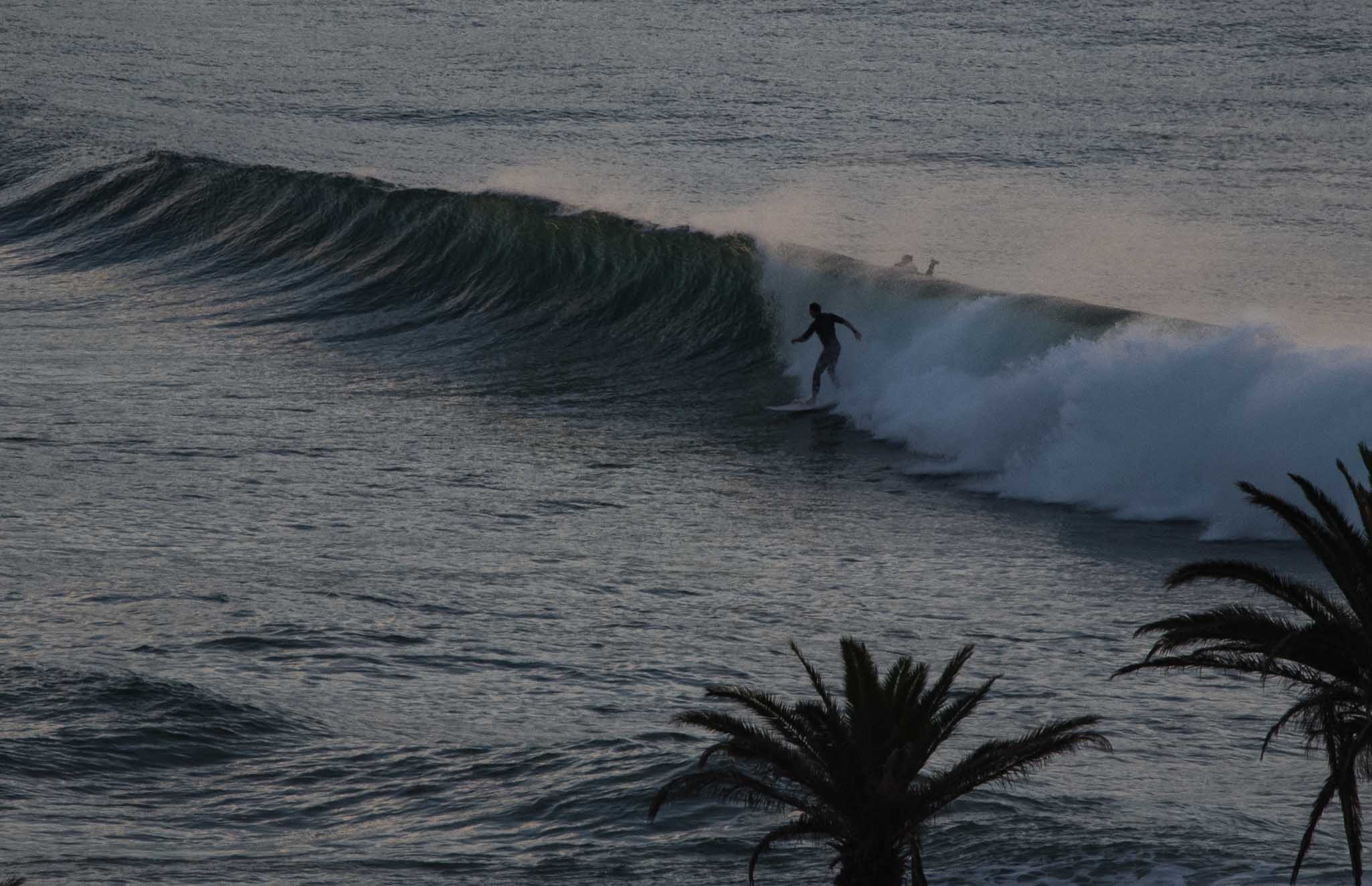
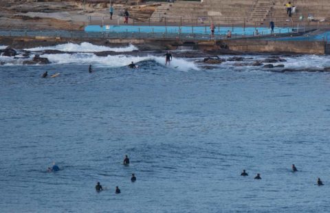
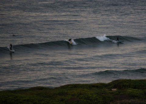
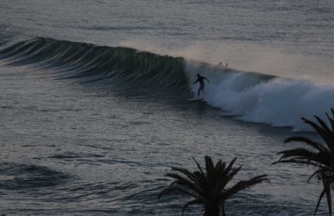
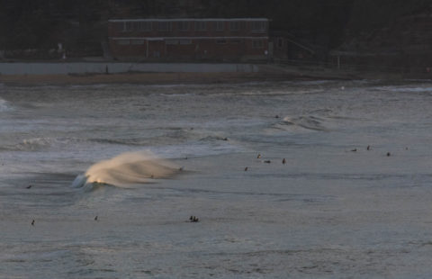
Numerous wave options this morning along the Northern Beaches. It’s not big, but the magnets are producing chest plus wave faces on the sets and there were several peak complexes both along the Collaroy-Narrabeen and Dee Why-Long Reef stretches. Conditions before 0700 were clean and skies were mostly clear. Looks like a corker of a Saturday morning for the weekend warriors.
As of 0715, winds were very light and from the west. Tide was dropping from a 1.7m high an hour earlier and it’ll be low at 1240. By lunch time the wind should be around to the NE. As of 0500 the MHL buoy was showing 1.4 metres of 9-sec SE swell. With luck the waves should stick around at about the current intensity for most of the day.
According to the Bureau and many of the modellers, we can expect the waves to weaken away to barely there for tomorrow as both the average size and average period decrease. The small, short period stuff looks like persisting into Monday but then on Tuesday a solid (as in 3 metres at 10 sec) south pulse arrives – along with rain and strong SSW wind. The rain continues and the swell dials back a tiny bit on Wednesday. Wind is more southerly too. With luck Thursday and Friday will see light offshores early and 2.5 metres of 10+ sec SSE swell!
All and all an interesting week coming up I’d say. Have a good one!
Weather Situation
A high pressure system in the Tasman Sea is maintaining across ridge to New South Wales. Today the high will move east as a cold front approaches from the southwest. Northerly winds will increase ahead of the front, which will bring a west to southwesterly change to the southern half of the coast later Sunday, extending to the northern border on Monday. Following this, a low pressure system is forecast to deepen in the Tasman Sea during Monday, with a vigorous southerly flow developing over the New South Wales Waters as a result. The low moves east during Tuesday, with winds easing during the afternoon and evening.
Forecast for Saturday until midnight
Winds
Variable about 10 knots becoming north to northeasterly 15 to 20 knots in the middle of the day.
Seas
Below 1 metre, increasing to 1 to 1.5 metres by early evening.
Swell
Southeasterly around 1 metre.
Weather
Partly cloudy. 40% chance of showers offshore, 20% chance elsewhere.
Sunday 9 April
Strong Wind Warning for Sunday for Sydney Coast
Winds
Northerly 15 to 25 knots shifting west to southwesterly 20 to 25 knots in the late evening. Winds reaching up to 30 knots in the late evening.
Seas
1 to 2 metres.
Swell
Easterly below 1 metre.
Weather
Mostly sunny. 80% chance of rain, and the chance of a storm, in the late afternoon and evening.
Monday 10 April
Winds
Westerly 15 to 20 knots turning southwesterly during the afternoon.
Seas
1 to 1.5 metres, increasing to 1.5 to 2 metres offshore.
Swell
East to northeasterly around 1 metre.
Weather
Partly cloudy. 70% chance of showers. The chance of a thunderstorm.

