
Hello Friends,
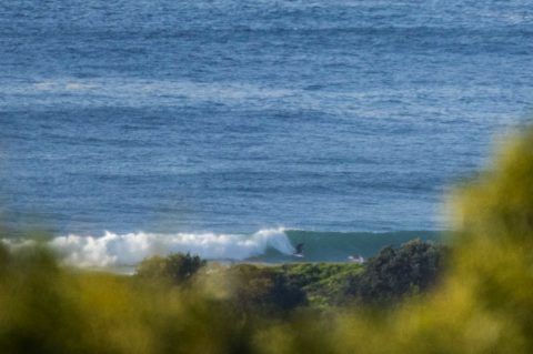
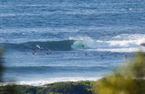
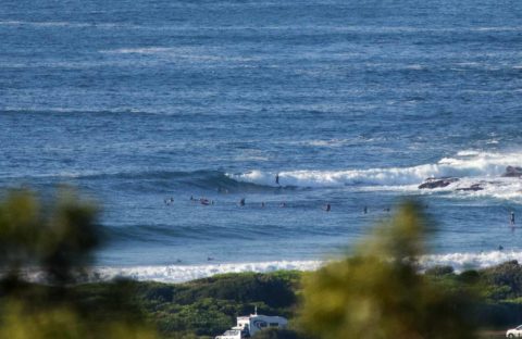
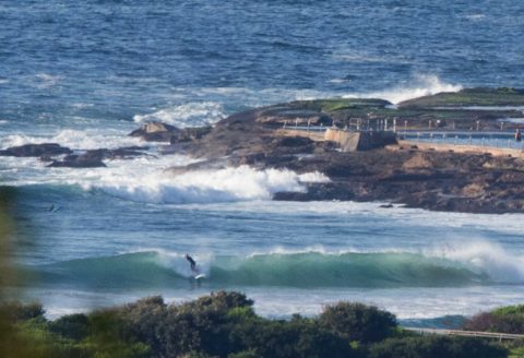
Looks like the swell’s dropped a little since yesterday, but there are definitely sets still in the mix. The MHL data for this time yesterday was showing 2 metres and now it’s 1.7. So a foot in the old money. Swell’s still out of the SE and crucially the average period is sitting on a useful 13 sec. Sets at Dee Why point were head and a bit and along the beach it seemed to be a touch bigger than that.
Tide was low at 0620 and will be back to high at 1220. Should be partly cloudy with light winds and a mild 23 for the high.
Outlook is for the waves to fade toward the knee to waist range from tomorrow and then tho be smaller again as we head toward marginal to near flat by the weekend.
So enjoy another day of waves everyone!
Weather Situation
A high pressure system is over the Tasman Sea with a ridge along the New South Wales coast. The high is expected to remain slow-moving over the Tasman Sea through the week with southeast to northeasterly winds along the New South Wales coast.
Forecast for Monday until midnight
Winds
South to southeasterly 10 to 15 knots decreasing to about 10 knots during the morning.
Seas
Below 1 metre.
1st Swell
Southerly 1.5 metres.
2nd Swell
Easterly around 1 metre.
Weather
Partly cloudy.
Tuesday 18 April
Winds
South to southeasterly about 10 knots.
Seas
Below 1 metre.
1st Swell
Southerly 1 to 1.5 metres, tending southeasterly around 1 metre during the morning.
2nd Swell
Easterly around 1 metre.
Weather
Partly cloudy. 20% chance of a shower inshore, near zero chance elsewhere.
Wednesday 19 April
Winds
South to southeasterly about 10 knots becoming easterly during the day.
Seas
Below 1 metre.
Swell
Easterly around 1 metre.
Weather
Partly cloudy. 20% chance of a shower.

