Hello Friends,
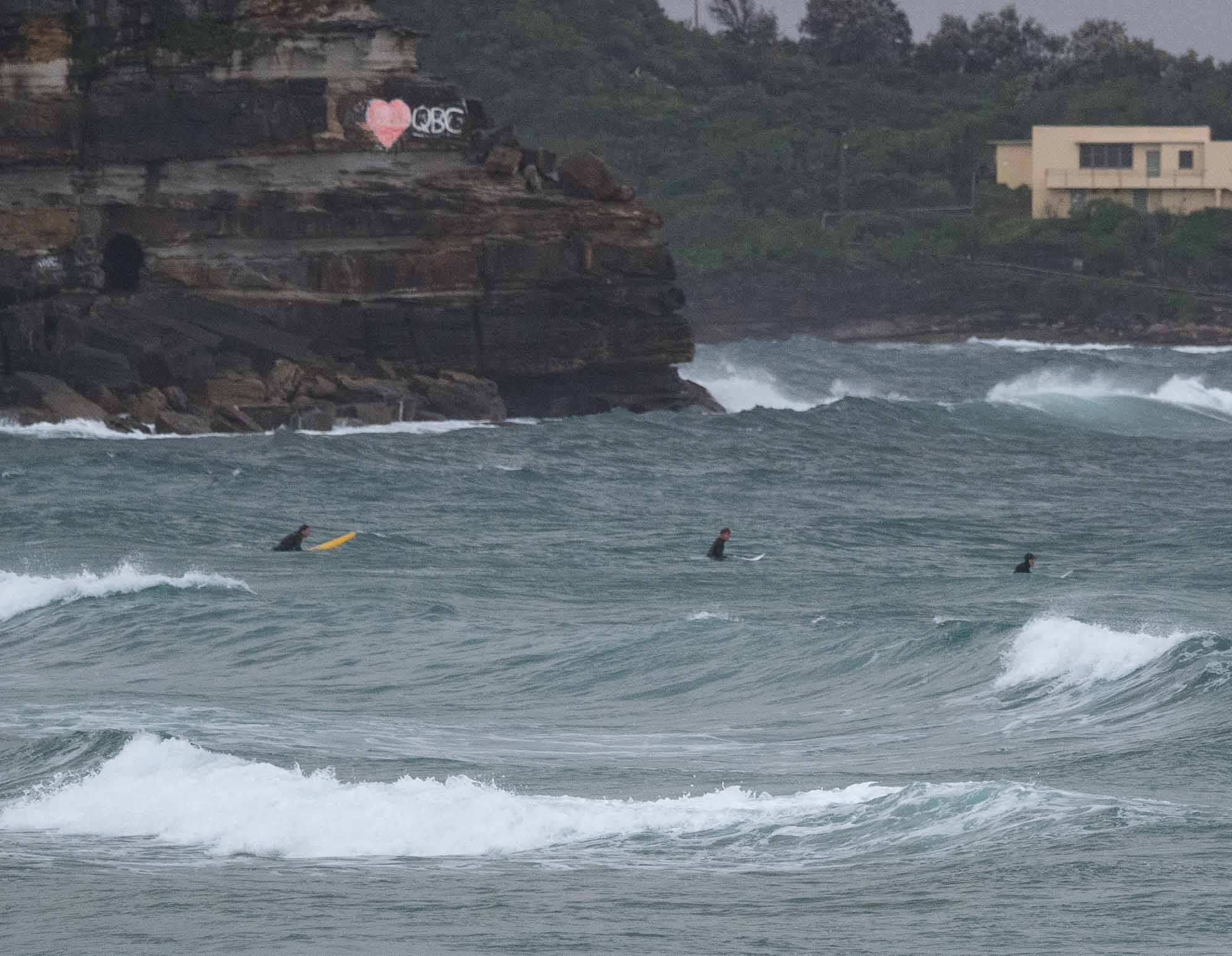
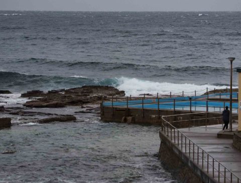
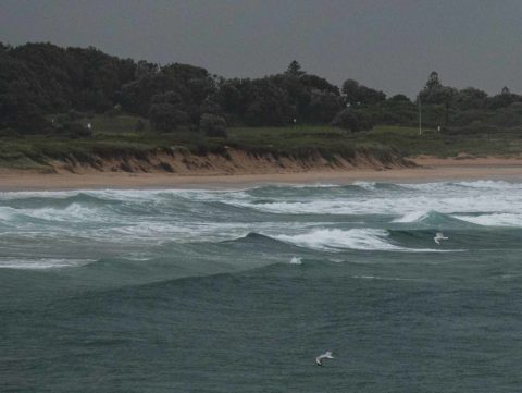
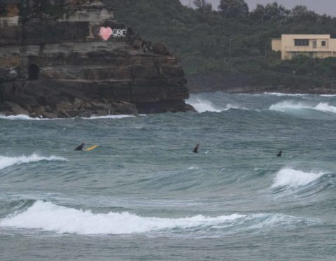
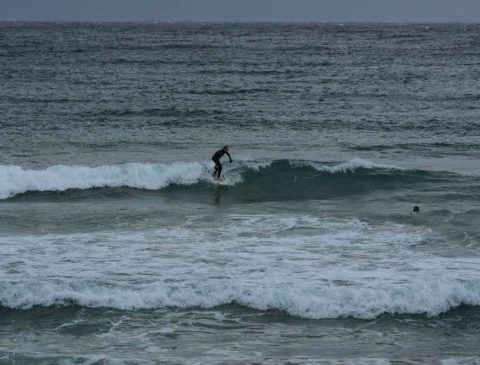
Had a look at Manly, Curly and Dee Why this morning between 0720 and 0750 and can report that it was knee to waist and weak at Manly with about 10 people in the water from South Steyne to Queenscliff. Curly was waist and a bit but torn up and junky with no one in the water. Dee Why was knee to waist and a bit, but no one was in the water to tell for sure.
Tide hit a 1.4m high at 0645 and is dropping to the low at 1235.
Wind was SW along the breaches when I checked, but you could see the southerly out at sea. The Bureau tells us it’ll be 20-25 kts south going to 15-20 kts SE this afternoon. So, not exactly encouraging. The swell is staying well out to sea from the look of the beaches, and the Bureau tells us it’s going to fade. Plus we can expect rain on and off again all day.
Tomorrow the wind’s supposed to stay SE and swell seems unlikely to improve and the models are all sort of yawning about prospects for the weekend. Wind’s expected to stay southerly through Friday at least.
Not the greatest short term outlook and, according to the models, the long range prospects aren’t too red hot either. Could be a week to get caught up on other things…
Have a great Wednesday everyone!

Weather Situation
A low pressure system is deepening offshore from the New South Wales coast. The low will remain near the coast today, resulting in continuing strong southerly winds over much of the coastal waters for most of the day. Winds will then ease from Thursday as the low weakens and moves away to the east and a high approaches from the west.
Forecast for Wednesday until midnight
Strong Wind Warning for Wednesday for Sydney Coast
Winds
Southerly 20 to 25 knots, reaching up to 30 knots early in the morning. Winds turning southeasterly 15 to 20 knots in the afternoon.
Seas
2 to 4 metres, decreasing to 1 to 2 metres during the morning, then decreasing to 1 to 1.5 metres by early evening.
Swell
Southerly 2.5 to 3 metres, decreasing to 2 metres by early evening.
Weather
Cloudy. Near 100% chance of showers. The chance of a thunderstorm.
Caution
Surf conditions may be more powerful than they appear and are expected to be hazardous for coastal activities such as crossing bars by boat and rock fishing.
Thursday 8 June
Winds
Southeasterly 15 to 25 knots.
Seas
1 to 1.5 metres, increasing to 1 to 2 metres around midday.
1st Swell
Easterly below 0.5 metres, tending southeasterly 1.5 to 2.5 metres during the morning.
2nd Swell
South to southeasterly 1.5 to 2 metres, decreasing to 1 to 1.5 metres during the morning, increasing to 1.5 to 2 metres inshore during the afternoon.
Weather
Cloudy. 70% chance of showers. The chance of a thunderstorm from the late morning.
Friday 9 June
Winds
Southerly 25 to 30 knots.
Seas
2 to 3 metres.
1st Swell
East to southeasterly 1.5 to 2 metres, decreasing to around 1 metre during the morning.
2nd Swell
Southerly around 1 metre.
Weather
Cloudy. 60% chance of showers. A thunderstorm likely.

