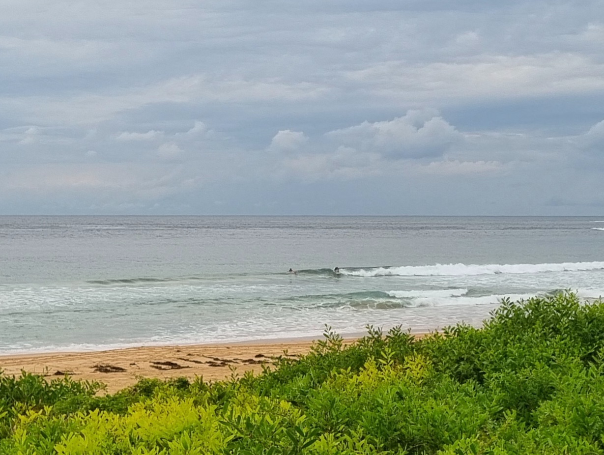
Surf forecast reissued Friday 9 June 2017:
Six day outlook for Sydney:
Oh dear… there’s a long weekend coming up, and I know you’re keen to know…
But let me just state at the outset… It’s not my fault!
Quick summary>>> I’d suggest you swallow the pill quickly>>>
It’s not looking very good.
Showers, SE/ S wind most days, and surf that would be pleasant enough if it weren’t for the fact that’ll it be windblown rubbish at places open to the South, and the short period won’t be enough for much to swing around into sheltered southern corners.
Looking on the bright side: It will stop raining and blowing and the sun will come out…
sometime in the future.
And who knows.. Lows are notoriously changeable, so the wind might ease off or blow offshore, the waves smooth out, and the sun come out sooner than expected…so dream on. 🙂
In the meantime, be flexible like the reed and bend with the wind. There are always other things to do.
Surf
Saturday: somewhere the 1-2 metre range South East, and windblown, at open beaches
Sunday: ditto, again
Monday: in the 1-2 metre range South East, and windblown…
Tuesday: at this stage looks like around 1 metre or so South East, windblown
Wednesday, Thursday: ditto at places open to dead South swell.
Have fun!
TG
In the Sky


Wind
https://www.windy.com/?-33.
In the Sea
Water temp is around 19.

Tides
http://www.rms.nsw.gov.au/
Weather from the Bureau:
Forecast for the rest of Friday
- Summary

- Showers.
- Chance of any rain: 95%

Sydney area
Cloudy. Very high (95%) chance of showers. The chance of a thunderstorm. Winds southeasterly 15 to 25 km/h.
Sun protection not recommended, UV Index predicted to reach 2 [Low]
Saturday 10 June
- Summary

- Min 14
- Max 19
- Showers.
- Possible rainfall: 10 to 20 mm
- Chance of any rain: 70%

Sydney area
Cloudy. High (70%) chance of showers. The chance of a thunderstorm. Winds south to southeasterly 15 to 25 km/h.
Sun protection not recommended, UV Index predicted to reach 2 [Low]
7 day Town Forecasts
| Precis Icon | Location | Min | Max |
|---|---|---|---|
| Sydney | 14 | 19 | |
| Penrith | 12 | 18 | |
| Liverpool | 12 | 18 | |
| Terrey Hills | 13 | 17 | |
| Richmond | 10 | 18 | |
| Parramatta | 11 | 18 | |
| Campbelltown | 10 | 18 | |
| Bondi | 16 | 20 |
Sunday 11 June
- Summary

- Min 13
- Max 19
- Shower or two.
- Possible rainfall: 15 to 35 mm
- Chance of any rain: 70%

Sydney area
Cloudy. High (70%) chance of showers. The chance of a thunderstorm. Winds southeast to southwesterly 15 to 20 km/h becoming light before dawn.
Sun protection not recommended, UV Index predicted to reach 2 [Low]
Monday 12 June
- Summary

- Min 11
- Max 19
- Shower or two.
- Possible rainfall: 1 to 4 mm
- Chance of any rain: 60%

Sydney area
Partly cloudy. Areas of morning fog in the outer west. Medium (60%) chance of showers. The chance of a thunderstorm. Light winds.
Sun protection not recommended, UV Index predicted to reach 2 [Low]
Tuesday 13 June
- Summary

- Min 12
- Max 19
- Shower or two.
- Possible rainfall: 0 to 2 mm
- Chance of any rain: 70%

Sydney area
Partly cloudy. Medium (60%) chance of showers. Light winds.
Wednesday 14 June
- Summary

- Min 12
- Max 19
- Showers.
- Possible rainfall: 3 to 8 mm
- Chance of any rain: 80%

Sydney area
Cloudy. High (80%) chance of showers. Light winds.
Thursday 15 June
- Summary

- Min 12
- Max 19
- Shower or two.
- Possible rainfall: 3 to 10 mm
- Chance of any rain: 70%

Sydney area
Partly cloudy. High (70%) chance of showers. The chance of a thunderstorm later in the day. Light winds.
Friday 16 June
- Summary

- Min 12
- Max 18
- Shower or two.
- Possible rainfall: 2 to 6 mm
- Chance of any rain: 70%

Sydney area
Cloudy. Medium (60%) chance of showers. The chance of a thunderstorm later in the day. Light winds.

