Hello Friends,
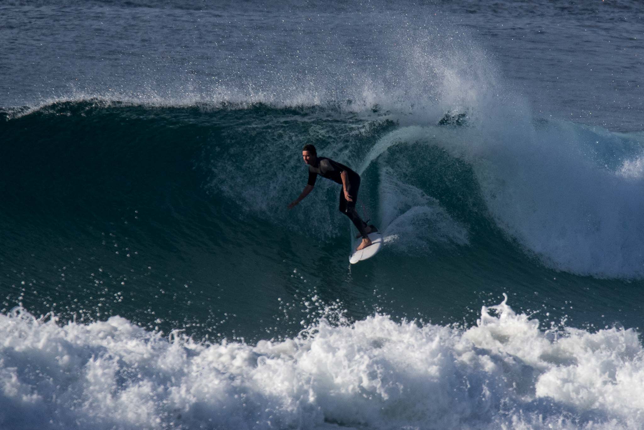
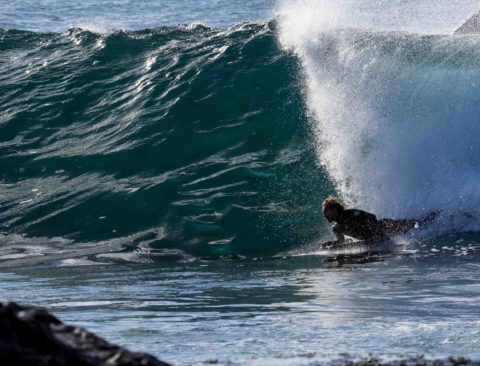
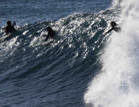
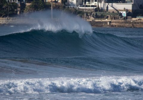
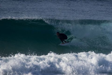
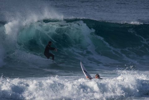
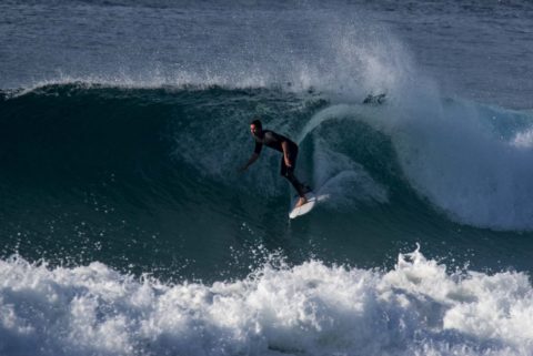
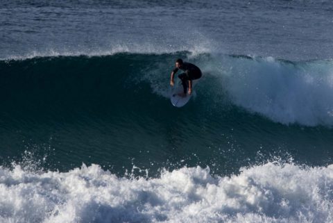
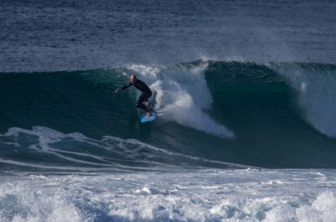
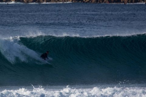
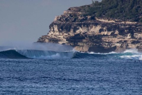
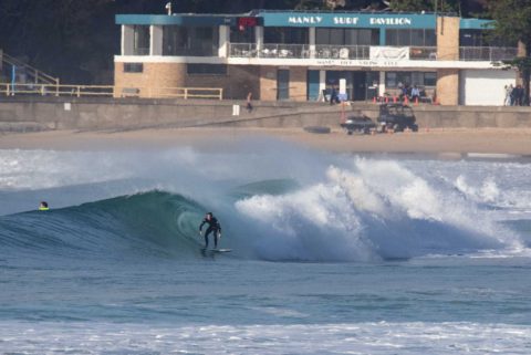
A few snaps taken between 0900 and 0930 Wednesday morning.
Wind 8-10 west, swell east 2 metres at 12 seconds, tide heading to low at 1120. By 0930 tide was getting too low for the point with these swell settings. Manly had a very high percentage of shutdowns, but some beautiful take offs to be had and a few that ran of course.
Turning southerly by midday and staying that way through tomorrow.
Weather Situation
A low pressure system lies well offshore over the central Tasman Sea while a large ridge of high pressure extends across southern New South Wales. The combination of these systems is directing southwest to southeasterly winds across New South Wales Waters. The high pressure ridge is expected to persist until the end of the week.
Forecast for Wednesday until midnight
Winds
West to southwesterly 10 to 15 knots shifting southerly 15 to 20 knots in the middle of the day.
Seas
Around 1 metre, increasing to 1 to 1.5 metres around midday.
1st Swell
Easterly 1.5 to 2 metres.
2nd Swell
Southerly around 1 metre.
Weather
Partly cloudy. 50% chance of light showers.
Thursday 22 June
Winds
Southerly 15 to 20 knots becoming variable about 10 knots in the evening.
Seas
1.5 to 2 metres, decreasing to 1 to 1.5 metres around midday.
1st Swell
Easterly 1.5 to 2 metres, decreasing to 1 to 1.5 metres during the morning.
2nd Swell
Southerly around 1 metre, increasing to 1 to 1.5 metres during the morning.
Weather
Partly cloudy. 50% chance of light showers.
Friday 23 June
Winds
Northwesterly 10 to 15 knots turning westerly during the afternoon.
Seas
Below 1 metre.
1st Swell
Easterly 1.5 metres.
2nd Swell
Southerly around 1 metre.
Weather
Partly cloudy. 20% chance of a shower.

