Hello Friends,
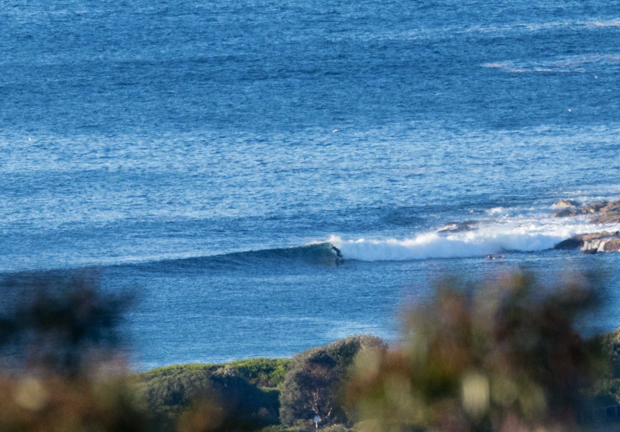
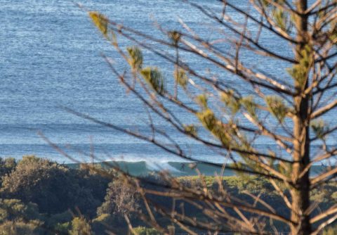
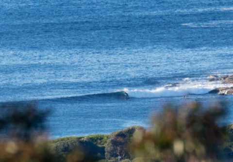
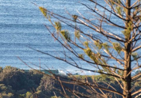
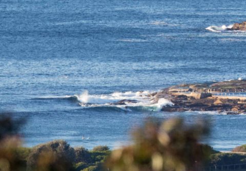
The Bureau says the swell will increase this morning and they’ve issued a warning for deceptively powerful conditions by this afternoon. But, as you can see from the pics, as of 0740 it was just catchable at the point and maybe waist high up the beach toward No Mans. At 0600 there was 1.4 metres of 9-sec SSE out at sea. Down at Eden the swell was 1.75m at 13 seconds. Tide is running into a 1.5m high at 0945 and by the time the projected swell is hitting, it’ll be dropping to a lowish 0.4m at 1530.
So, it looks like you should hit it early if you’re looking for cruisy little lines or leave it until this afternoon if you want to gamble on something a bit more intense. Bear in mind that the wind will be around to the NW in the afternoon.
Outlook for tomorrow is not all that exciting (swell’s supposed to drop to near flat again) but Thursday should see the south swell perking into the solid range during the morning as the wind fades to light and variable across the middle part of the day. The long range models are all over the shop. Most are predicting flatness from the weekend onward, while a couple of others are showing roaring southerlies and biggish SE swell from Tuesday through Wednesday. As always, they predict and we wait to see…
Have a great Tuesday everyone!
Weather Situation
A persistent ridge of high pressure lies over northern New South Wales as a series of cold fronts moves through the southern parts of the state during Wednesday and Friday. This pattern will direct northwest to southwesterly winds over New South Wales Waters, with winds tending fresh to strong in the south with the passage of fronts.
Forecast for Tuesday until midnight
Winds
Westerly 10 to 15 knots turning northwesterly in the late afternoon. Winds reaching up to 20 knots offshore during the morning and again in the late evening.
Seas
1 to 1.5 metres, decreasing to 1 metre during the afternoon.
Swell
Southerly around 1 metre, increasing to 1.5 to 2 metres during the morning.
Weather
Sunny.
Caution
Surf conditions in the afternoon and evening may be more powerful than they appear and are expected to be hazardous for coastal activities such as crossing bars by boat and rock fishing.
Wednesday 26 July
Strong Wind Warning for Wednesday for Sydney Coast
Winds
Northwesterly 15 to 20 knots shifting west to southwesterly 15 to 25 knots during the morning and early afternoon. Winds reaching up to 30 knots offshore during the afternoon and evening.
Seas
1 to 2 metres, decreasing to 1 to 1.5 metres around midday, then increasing to 1.5 to 2.5 metres by early evening.
Swell
Southerly 1 to 1.5 metres, decreasing to around 1 metre during the morning.
Weather
Mostly sunny.
Thursday 27 July
Winds
South to southwesterly 15 to 25 knots becoming variable about 10 knots during the day then becoming north to northeasterly 10 to 15 knots during the evening.
Seas
1.5 to 2.5 metres, decreasing below 1 metre during the afternoon or evening.
Swell
Southerly 1.5 to 2 metres, increasing to 2 to 3 metres during the morning.
Weather
Partly cloudy. 20% chance of a shower.

