Hello Friends,
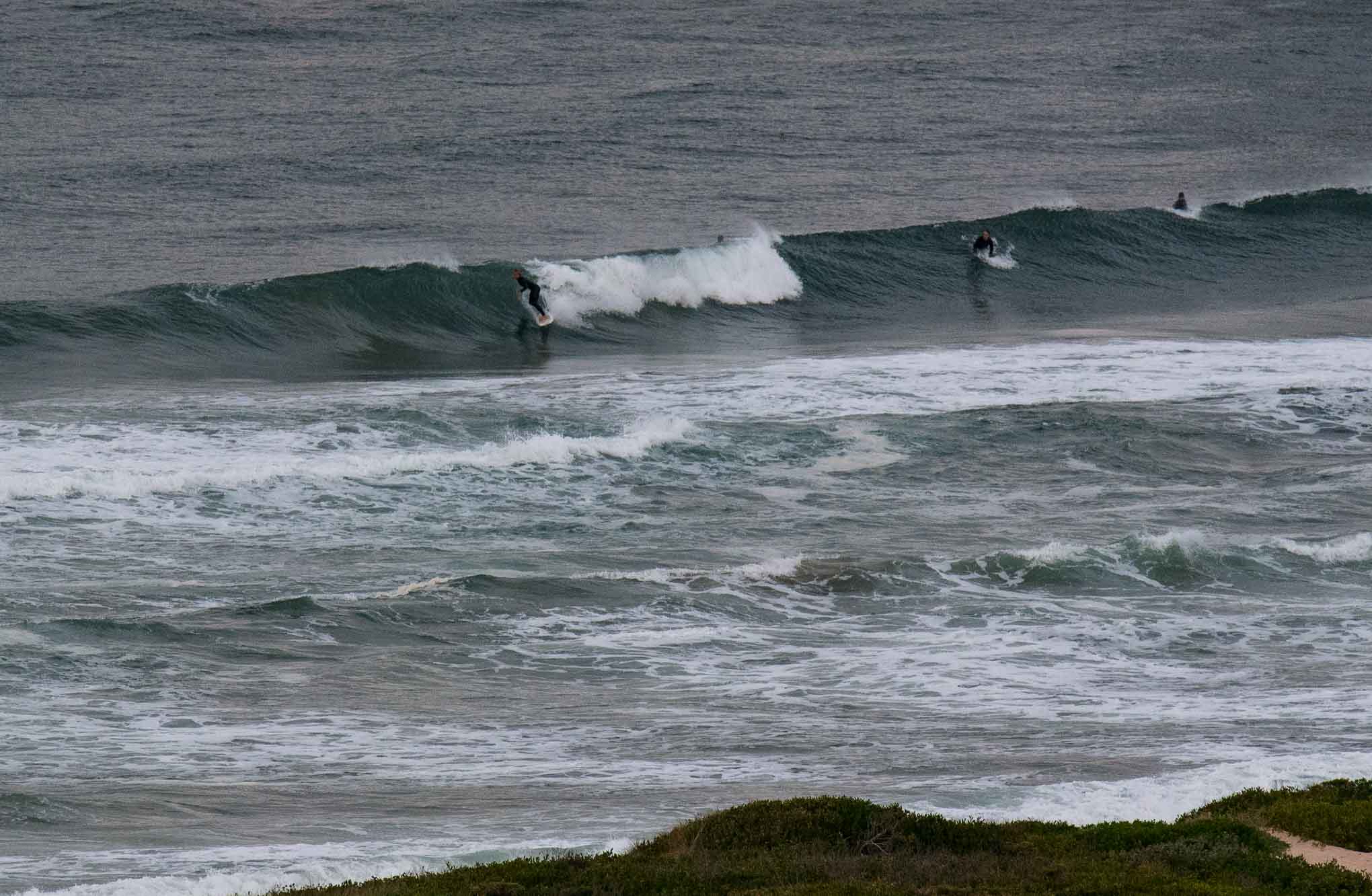
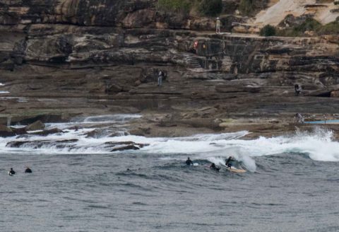
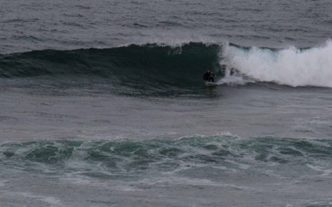
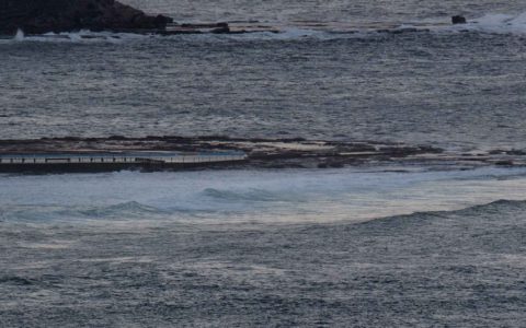
A chill in the air as Saturday kicked off. The skies were mostly cloudy but the wind was light and the ocean surface smooth. Swell perked overnight as expected and while you probably couldn’t surf anywhere from Collaroy to Narrabeen (too small and tide too high) there were waist to shoulder high sets from about the lagoon to kiddies at Dee Why. There were occasional waves for the keen crew at the point, but they looked to be mostly in the waist high range.
By around 0700 the wind was still light WSW, but the forecast tells us it’ll go southerly 15-20 kts later. Tide was coming into the 1.7m high at 1000. The Bureau has a large and powerful surf warning up, but from the look of the MHL buoy data, the pulse peaked last night. At 0400 it was 3 metres at the Sydney buoy and coming from the dead south at about 9 seconds apart.
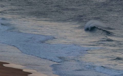
Outlook is for the swell to fade across the day and by dusk it looks like it’ll be pretty marginal. Some models show the conditions staying marginal to near flat for the next week or so, but there might be a small uptick for Monday thanks to an increase in average period (according to some models). From around Tuesday onward, the prospects are not exciting. Right now it looks like a run of shorth period east to SE wind bump.
So, get in now if you can!

Weather Situation
Southerly winds are prevailing over the New South Wales coast behind a trough moving away to the east, while an associated low pressure circulation deepens over the Tasman Sea. A high pressure system, currently south of the Bight, will drift across southeast Australia in the trough’s wake, reaching the southern Tasman Sea by late Saturday. Winds are expected to gradually shift northerly later on the weekend as the next trough approaches from the west.
Forecast for Saturday until midnight
Winds
Southerly 15 to 20 knots becoming southeasterly below 10 knots in the evening.
Seas
1.5 to 2.5 metres, decreasing below 1 metre around midday.
Swell
Southerly 1.5 to 2.5 metres.
Weather
Partly cloudy. 30% chance of a shower in the morning and early afternoon.
Caution
Large and powerful surf conditions are expected to be hazardous for coastal activities such as crossing bars by boat and rock fishing.
Sunday 8 October
Winds
Variable about 10 knots becoming northerly 15 to 20 knots in the middle of the day.
Seas
Below 1 metre, increasing to 1 to 1.5 metres during the afternoon.
Swell
Southerly 1.5 metres, increasing to 2 metres during the morning, then tending south to southeasterly 2 metres by early evening.
Weather
Partly cloudy. 50% chance of showers in the afternoon and evening. The chance of a thunderstorm in the afternoon and evening.
Monday 9 October
Winds
Northerly 15 to 20 knots tending northwesterly 10 to 15 knots during the morning then shifting southerly 15 to 25 knots during the evening.
Seas
1 to 1.5 metres, decreasing to 1 metre during the morning.
Swell
Southeasterly 1.5 metres, decreasing to around 1 metre during the afternoon.
Weather
Mostly sunny. 40% chance of showers. The chance of a thunderstorm in the afternoon and evening.

