Hello Friends,
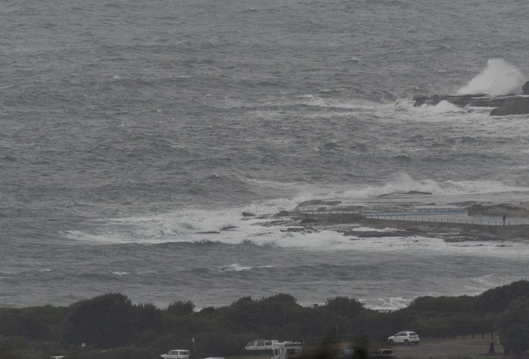
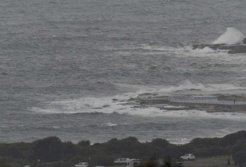
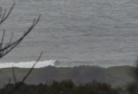
Rainy night followed by a morning with heavy overcast and the prospect of more showers. A blustery 15-20 kt NEr was knocking the stuffing out of the Dee Why end of the beach. Couldn’t see anyone in the water, nor any reason for them to be there either. Out at sea swell is a couple of metres from the east but it’s really only chop because the average period is just 6 seconds.
Another day to give surfin’ a pass from the look of it.
Wave activity is set to ramp up tomorrow but there’s a gale warning for raging SW early swinging SE by late morning. Will there be a little window of opportunity for south corners early? I’d say there’s a small chance of a scrappy bump or two, but my confidence isn’t strong.
The rest of the week is a similar mix of will-it-won’t-it where the wind’s concerned, but broadly it looks as though swell energy goes up tomorrow and then starts fading back overnight Wednesday into Thursday.
Have a great Monday everyone!
Weather Situation
A low pressure system over the northwest of the state is generating east to northeast winds along the waters. The low is forecast to move southeastwards, intensifying as it reaches the south coast later today, and then quickly move towards New Zealand on Tuesday. This will bring a vigorous southerly change to the southern half of the coast from this afternoon, then extending throughout by early Tuesday. Gale to storm force winds likely over parts of the central and southern waters. Winds are forecast to ease from Tuesday evening as a ridge extends from the Bight to the New South Wales coast.
Forecast for Monday until midnight
Gale Warning for Monday for Sydney Coast
Winds
Northeasterly 20 to 30 knots shifting west to southwesterly 25 to 35 knots in the evening.
Seas
1.5 to 2.5 metres.
1st Swell
Southerly 1 to 1.5 metres, decreasing to around 1 metre around midday.
2nd Swell
Easterly around 1 metre, increasing to 1.5 metres during the afternoon.
Weather
Cloudy. Near 100% chance of rain. A thunderstorm likely, possibly severe.
Tuesday 7 November
Gale Warning for Tuesday for Sydney Coast
Winds
Southwesterly 25 to 30 knots, reaching up to 35 knots offshore early in the morning. Winds turning south to southeasterly 15 to 25 knots in the late morning and afternoon.
Seas
3 to 4 metres, decreasing to 2 to 3 metres around midday.
1st Swell
Southerly 1 to 1.5 metres, increasing to 2 to 3 metres during the morning.
2nd Swell
Easterly 1.5 to 2 metres, decreasing to around 1 metre during the morning.
Weather
Partly cloudy. 50% chance of showers.
Caution
Large and powerful surf conditions in the morning are expected to be hazardous for coastal activities such as crossing bars by boat and rock fishing.
Wednesday 8 November
Winds
South to southeasterly 10 to 15 knots tending east to southeasterly below 10 knots during the afternoon.
Seas
1.5 to 2 metres, decreasing to 1 metre during the morning.
Swell
Southerly 2.5 to 3 metres.
Weather
Partly cloudy. 30% chance of a shower.

