Hello Friends,
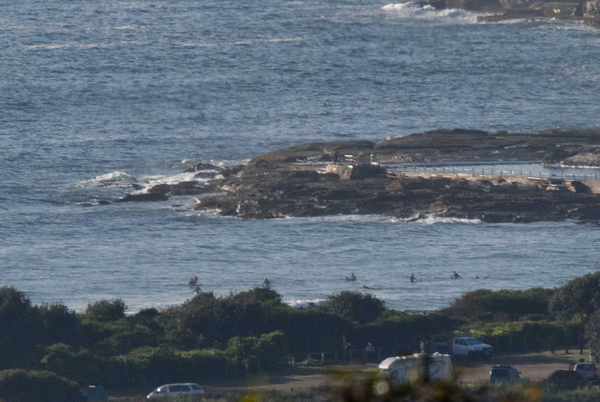
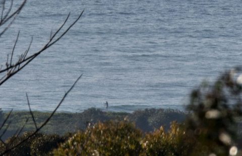
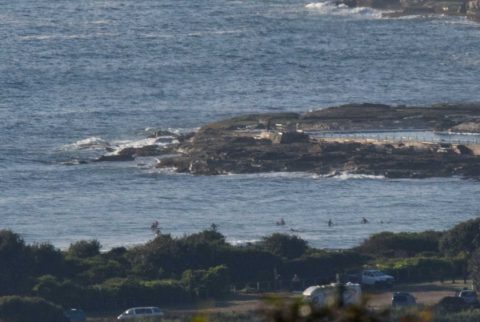
Beautiful sunny morning with light WSW breezes but the little east wind bump of the last few days has slipped down another cog. The MHL buoy’s most recent report showed 0.8 m of 7-sec east and as you can see from the pictures, the results where Dee Why is concerned are not impressive. It’s weak, inconsistent and struggling to make the knee high mark. And given the settings, I’d be surprised if it was substantially bigger elsewhere. To the extent it matters tide was low at 0525 and will be back to a 1.6 m high at 1155.
We’re headed to a high of 25 today and the Bureau says there’s a 30% chance of a possible shower later. The NE wind should kick in for this afternoon, but only be into the 10-15 kt range.
According to the Bureau the next three days aren’t likely to show much improvement on the surf front, so I’m hoping today’s forecast from the Goat will give us some reason for optimism later in the week…
Have yourself a terrific Thursday everyone and stay happy!
Weather Situation
A slow-moving high pressure system over the eastern Tasman Sea is maintaining a ridge to the northwest, directing mostly east to northeasterly winds along the New South Wales coast. Very little change is expected in the pattern during the next few days.
Forecast for Thursday until midnight
- Winds
- Northeasterly 10 to 15 knots.
- Seas
- Around 1 metre.
- Swell
- Easterly below 1 metre.
- Weather
- Partly cloudy. 20% chance of a shower during the morning and afternoon.
Friday 24 November
- Winds
- North to northeasterly 10 to 15 knots.
- Seas
- Around 1 metre.
- Swell
- Easterly below 1 metre.
- Weather
- Sunny.
Saturday 25 November
- Winds
- Northeasterly 10 to 15 knots.
- Seas
- Around 1 metre.
- Swell
- Easterly around 1 metre.
- Weather
- Sunny.

