
Hello Friends,
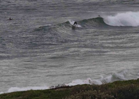
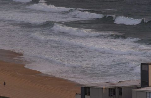
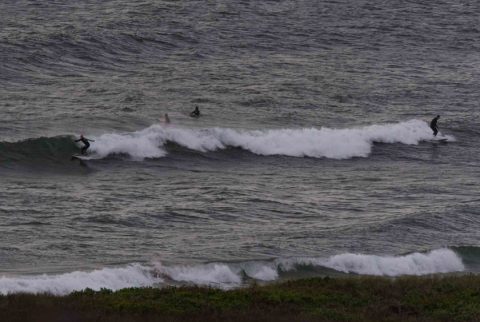
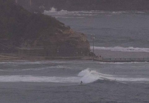
The N-NE’r blew hard until the late last night and at first light this morning it was already starting its steady build toward 20-25 kts later today. The Bureau says it’ll be northerly once it reaches full strength, so not as good as NE for pushing up the wind swell, but then maybe a little smoother in the corners. The MHL data for Sydney hadn’t updated since yesterday afternoon when I checked it at 0700, but I reckon it’s probably around the 2 metre mark out at sea. Inshore where we care about it wave faces look to be in the knee to waist range at Dee Why and closer to waist to chest at North Narrabeen. Quality didn’t look too bad early, although the incoming tide (it’s a 1.8 m high at 0745) was making it pretty soft and fat looking.
While the wind isn’t likely to be doing it any big favours this afternoon, if you’re keen there should be energy. And tomorrow’s forecast of NW early could mean some pretty fun waves for the early. I’m still sidelined, but I’ll be at Ocean Care Day in Manly on Sunday, so I should be able to fire a few updates on surf conditions during the day.
Looking at the week ahead… could be some activity of interest toward midweek when there’s a possibility of potentially fun east swell. The front half of the week is shaping to be southerly with reasonable size but unreasonable wind levels.
With luck we should have a steady supply of waist to chest or even head high energy off and on across the coming week.
Have a great Saturday everyone!
Weather Situation
A slow-moving high pressure system near New Zealand with a ridge to the northwest is directing north to northeasterly winds along the New South Wales coast. Winds will increase today ahead of a southerly change expected on the south coast on Sunday. and extending to the north coast during Monday.
Forecast for Saturday until midnight
Strong Wind Warning for Saturday for Sydney Coast
- Winds
- Northerly 20 to 25 knots, reaching up to 30 knots offshore during the day.
- Seas
- 2 to 3 metres.
- Swell
- Northeasterly 1 to 1.5 metres, increasing to 1.5 to 2 metres by early evening.
- Weather
- Partly cloudy. 90% chance of rain. The chance of a thunderstorm during this afternoon and evening.
Sunday 3 December
Strong Wind Warning for Sunday for Sydney Coast
- Winds
- Northwesterly 15 to 20 knots, reaching up to 30 knots offshore early in the morning. Winds shifting southeasterly in the middle of the day.
- Seas
- 2 to 3 metres, decreasing below 1.5 metres around midday.
- Swell
- Northeasterly 1.5 to 2.5 metres, decreasing to 1.5 metres around midday.
- Weather
- Partly cloudy. 60% chance of showers in the evening.
Monday 4 December
- Winds
- Southeasterly 10 to 15 knots.
- Seas
- 1 to 1.5 metres.
- 1st Swell
- Southerly around 1 metre, increasing to 1 to 1.5 metres during the afternoon or evening.
- 2nd Swell
- Northeasterly 1 to 1.5 metres.
- Weather
- Partly cloudy. 70% chance of showers.

