Hello Friends,
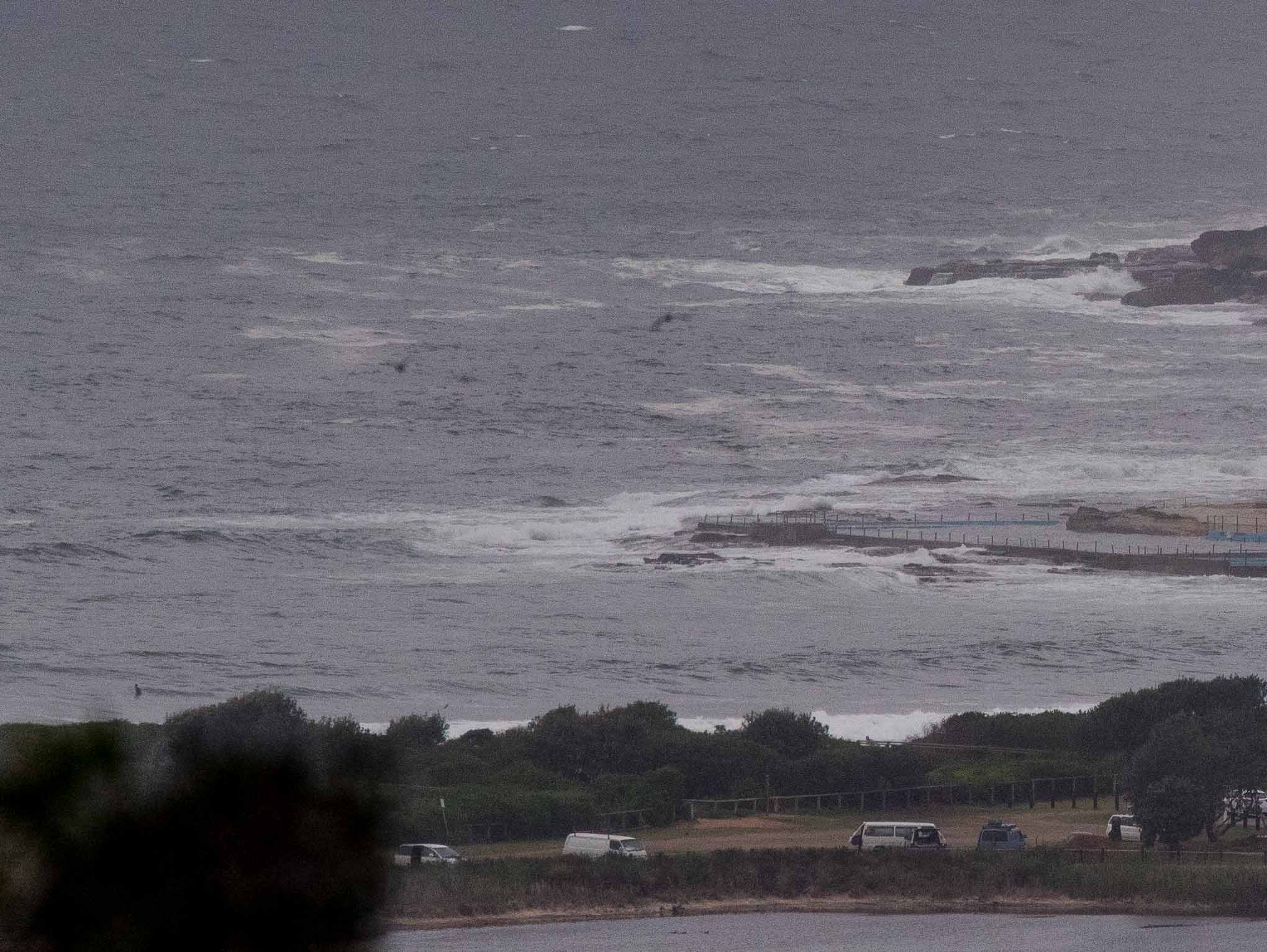
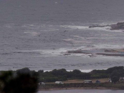
A dull and cool start to the first working week of December. At 0830 wind was coming from the south at 10-15 kts and there were occasional light showers drifting across the coast. Swell has come up markedly overnight and according to the most recent offshore data from the MHL buoy, it was 2.4 m from the south at 9 seconds. And down south at Eden it was 3.6 m from the south at 13 seconds – which makes me think it could build as the day goes along. Unfortunately the wind is going to be onshore all day, so even when we’re past the 0920 2 metre high tide, surface conditions are going to be iffy at best.
Tomorrow looks somewhat more hopeful. It’s still expected to be rainy (so water quality issues possible) but swell intensity should increase as a 2 metre south and 1.5 to 2.5 metre east combo fills in as the wind goes SW. And Wednesday could be more promising yet as the onshores may relent while the combo swell chugs along at 2-3 m and 9-10s. Right now the models are showing fun prospects through to Saturday.
Have a great Monday everyone and fingers crossed for the coming week!
Weather Situation
A broad area of low pressure lies off the New South Wales coast, within which a number of localised low pressure circulations are forecast to develop during the next couple of days. This is expected to result in a complex and highly variable wind pattern over most waters, as determined by the positioning of the low centres. During Tuesday, the most significant of these lows is likely to deepen off the southern coast before moving out of New South Wales waters on Wednesday. A fairly weak pressure pattern is forecast to feature in the latter part of the week.
Forecast for Monday until midnight
- Winds
- South to southeasterly 10 to 15 knots, reaching 25 knots inshore in the morning, turning east to northeasterly in the middle of the day.
- Seas
- 1 to 1.5 metres.
- 1st Swell
- Southerly 1.5 to 2.5 metres.
- 2nd Swell
- Northeasterly 1 to 1.5 metres.
- Weather
- Cloudy. 90% chance of showers, heavy at times this afternoon. The chance of a thunderstorm this afternoon and evening.
Tuesday 5 December
- Winds
- Easterly 10 to 15 knots shifting southwesterly 15 to 20 knots during the morning.
- Seas
- 1 to 1.5 metres, increasing to 1 to 2 metres around midday.
- 1st Swell
- Easterly 1 to 1.5 metres, increasing to 1.5 to 2.5 metres around midday.
- 2nd Swell
- Southerly 1.5 to 2 metres.
- Weather
- Cloudy. 95% chance of rain. The chance of a thunderstorm.
Wednesday 6 December
- Winds
- Southwesterly 10 to 15 knots shifting north to northwesterly 15 to 20 knots during the morning.
- Seas
- Around 1 metre.
- 1st Swell
- Easterly 2 metres, increasing to 2.5 to 3 metres during the morning.
- 2nd Swell
- Southerly 1 to 1.5 metres.
- Weather
- Partly cloudy. 50% chance of showers. The chance of a thunderstorm.

