Hello Friends,
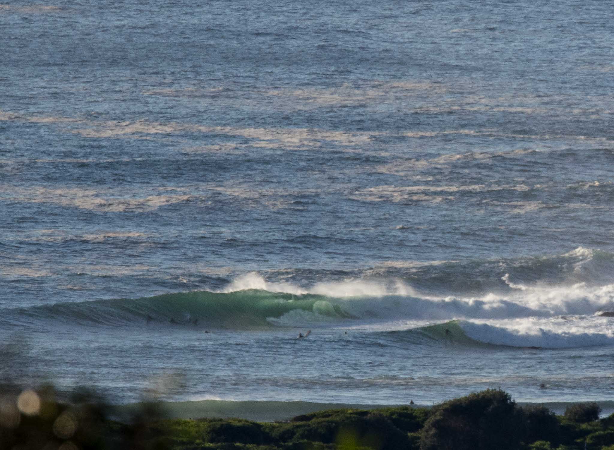
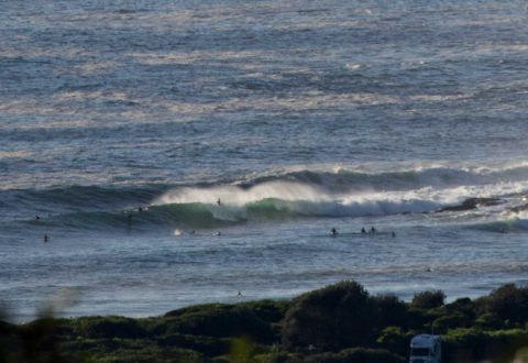
The pictures tell the story. The point looked solid this morning and the pre-work crew were on it. Here are the numbers: east, 2 m, 10 seconds with wind NW 5-7 kt. Tide was low at 0530 and will be a deep 1.95 m high at 1155.
I’d say there will be lots of surf options early, but it’s supposed to go NE late morning and that obviously means curtailed options by the time the tide is peaking.
The plan is to hit it ASAP this morning if you can.
Have a great day and I’ll try to add an update later…

Weather Situation
Winds will tend east to northeasterly along the New South Wales coast this afternoon ahead of a front that is moving into the state from the southwest today. This front will bring a southerly change to most of the coast during Friday.
Forecast for Thursday until midnight
- Winds
- Northwesterly 10 to 15 knots turning northeasterly 15 to 20 knots in the late morning. Winds reaching up to 25 knots in the late evening.
- Seas
- 1 to 1.5 metres.
- Swell
- Easterly 1.5 to 2 metres.
- Weather
- Sunny.
Friday 8 December
- Winds
- North to northeasterly 15 to 20 knots, reaching up to 25 knots early in the morning. Winds shifting southerly in the morning.
- Seas
- 1 to 2 metres.
- Swell
- Easterly 1.5 metres.
- Weather
- Partly cloudy. 30% chance of a shower in the afternoon.
Saturday 9 December
- Winds
- Southeasterly 15 to 20 knots becoming variable about 10 knots during the evening.
- Seas
- 1 to 2 metres.
- 1st Swell
- Southerly around 1 metre inshore, increasing to 1 to 1.5 metres offshore.
- 2nd Swell
- Easterly 1 to 1.5 metres.
- Weather
- Partly cloudy. 20% chance of a shower.

