Hello Friends,
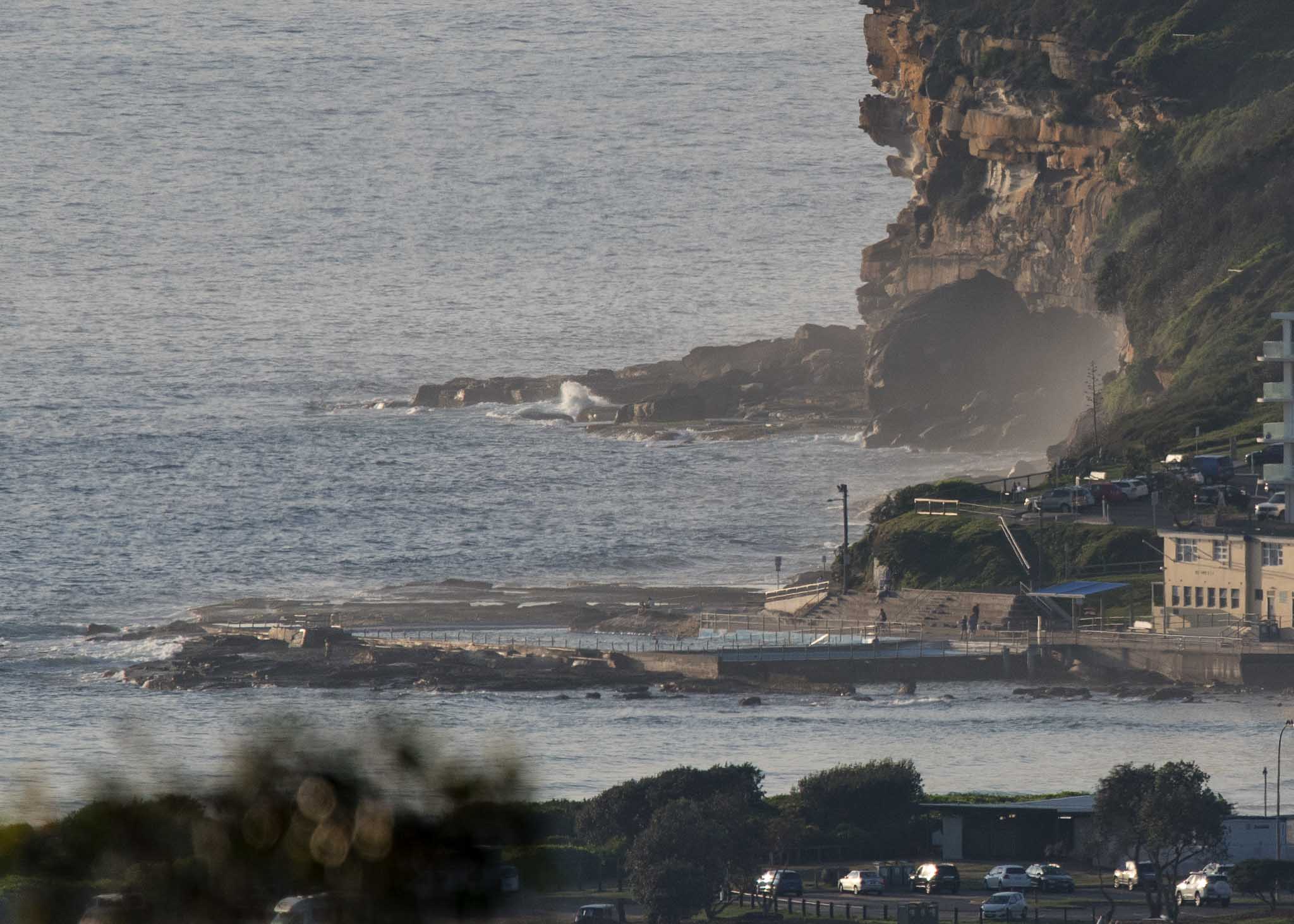
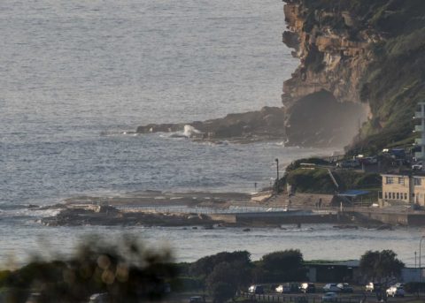
A light NE breeze wafting along before 0700. Skies were mostly clear, although there seemed to be clouds out to sea . There was no sign of so much as a surfable bump at Dee Why nor up the beach toward No Mans. You’ll need to look elsewhere if you’re keen to get wet. Tide was high at 0455 and will hit low at 1055 – not that it maters much given the weak swell conditions. The MHL buoy was showing a metre of 10-sec SE at 0400 and that’s almost exactly what we were seeing at this point yesterday. So, if you found waves yesterday morning, I’d start by looking there again.
Outlook remains less than interesting on the swell forecast models. There still seems to be some prospect for a little east bump on Saturday. But thereafter currently looks kinda sad.
Oh well, it is summer, so keep on smilin’, the waves always come back!
Weather Situation
A high pressure system over the western Tasman Sea will be the dominant synoptic feature in the region during the next few days. This high will direct east to northeasterly winds over New South Wales waters today, but these winds will become increasingly northerly as the week progresses. The next significant change will arrive at the end of the week.
Forecast for Tuesday until midnight
- Winds
- Northeasterly about 10 knots increasing to 15 to 20 knots in the early afternoon.
- Seas
- Below 0.5 metres, increasing to around 1 metre during the afternoon.
- Swell
- Easterly below 1 metre.
- Weather
- Partly cloudy.
Wednesday 13 December
Strong Wind Warning for Wednesday for Sydney Coast
- Winds
- Northeasterly 15 to 25 knots, reaching up to 30 knots in the evening.
- Seas
- 1 to 1.5 metres, increasing to 2 to 2.5 metres during the afternoon.
- Swell
- Easterly below 1 metre.
- Weather
- Sunny.
Thursday 14 December
- Winds
- North to northeasterly 20 to 30 knots decreasing to 15 to 20 knots during the morning.
- Seas
- 2 to 3 metres, decreasing to 1 to 2 metres during the morning.
- Swell
- Easterly around 1 metre.
- Weather
- Mostly sunny.


