Hello Friends,
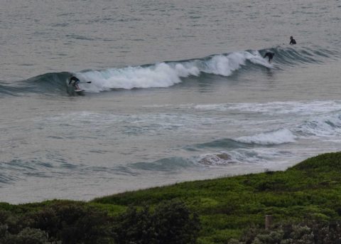
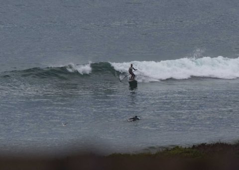
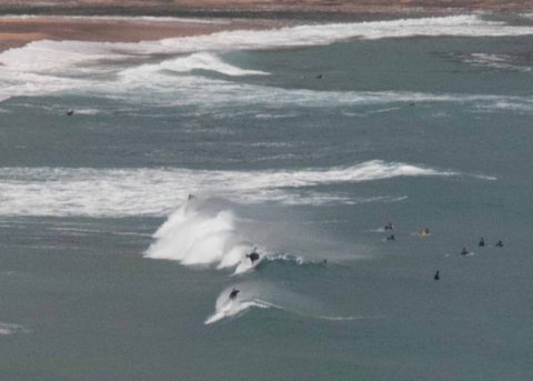
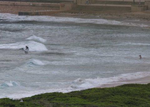
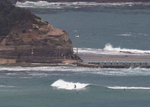
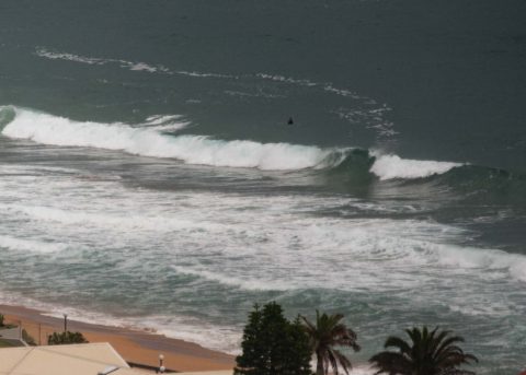
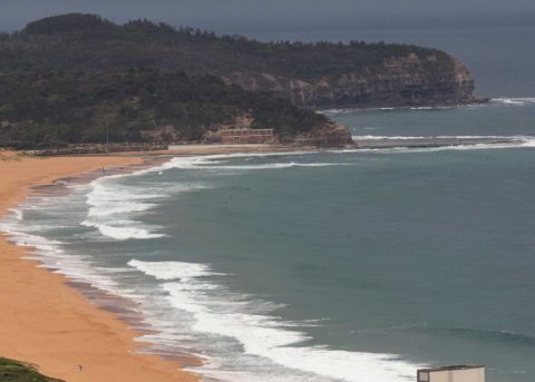
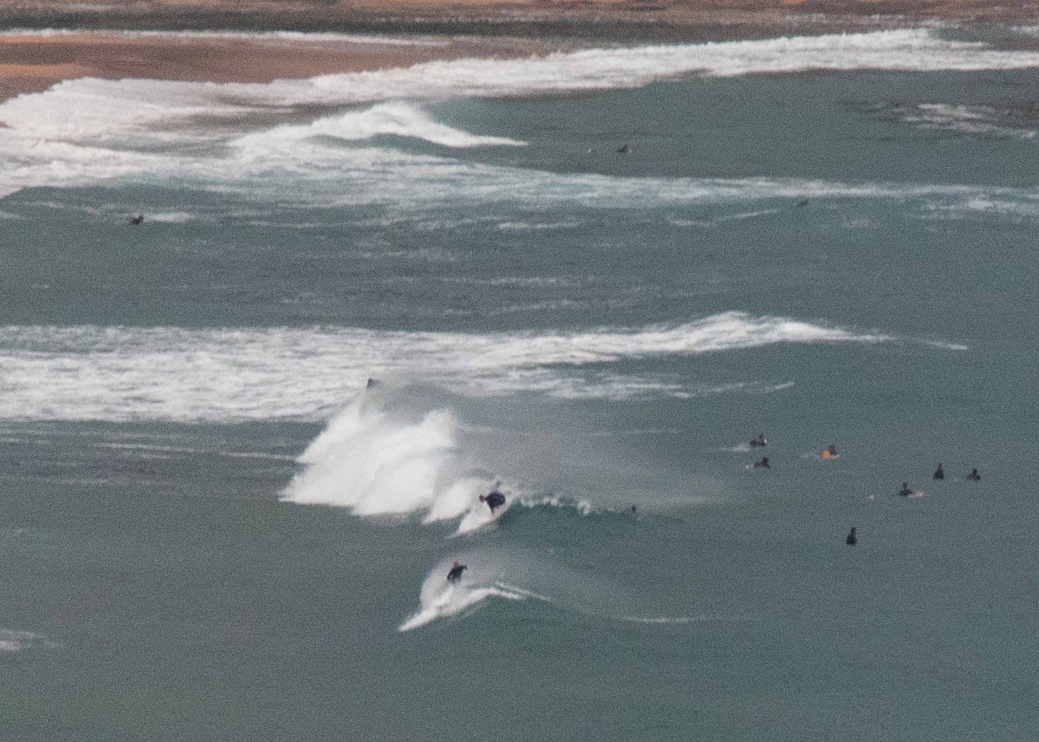
Glassy for the early session but a full tide and rapidly fading swell meant very long waits between catchable waves. Sets were into the waist high range, but while you’re waiting, it looks like a lake. The faint breeze was coming from the north when I checked the beaches around 0630. Tide was coming into a 1.67 m high at 0755 and the forecast of possible showers looked entirely plausible. At 0400 the MHL buoy was detecting a mix of north and south swells. The southerly component was dominant at 1.3 m from 168 degrees at 12 sec. Looking at the trends though, I’d say it’s likely to be smaller than that now.
Once the NE wind kicks into gear by midday, the wind bump could push up something vaguely surfable in the semi-protected north corners.
The Bureau tells us the wind will swing south in the late evening and Sunday should see S-SW for the early when – if we’re lucky – there’ll be some remnant of the NE pulse.
As for the rest of the week, well the models are pretty ho-hum with Wednesday currently looking about the most hopeful for a wave at NE spots early.
Have a great Saturday everyone!