Hello Friends,
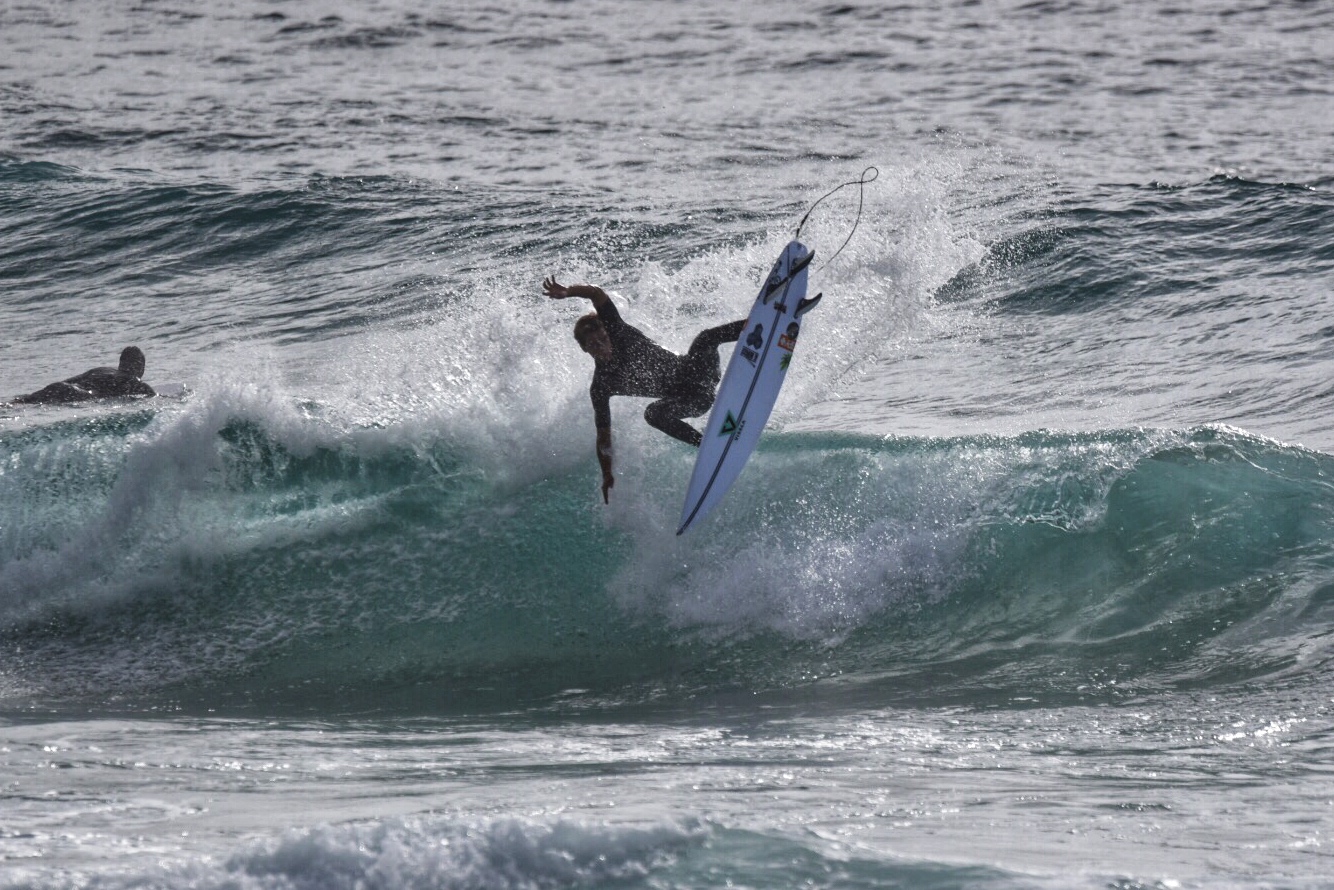
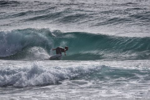
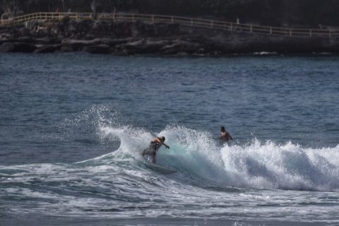
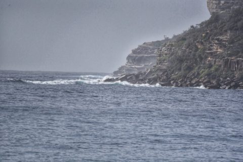
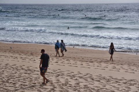
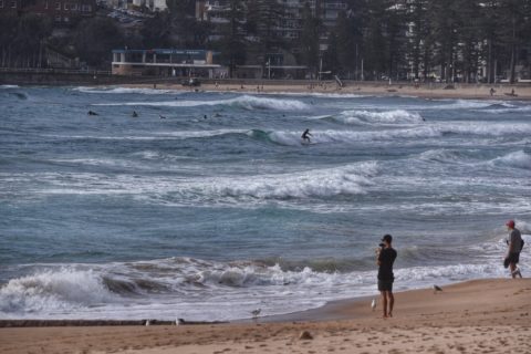
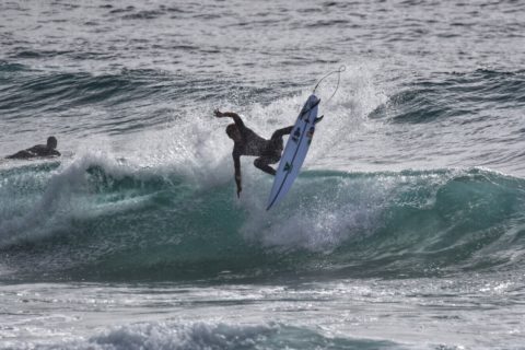
Stopped by Manly a little after 0900. Tide was pretty fat and full, the SE wind was bumping it up, but as I sit here typing it’s wandered around to the SW – and the swell is definitely bigger than it’s been over the last few days. I’d call it knee to waist right now at Queensie. Will be interesting to see what I find at Curly and Dee Why, but based on what I’ve seen here, I’m prepared to call it just starting to pick up…
Weather Situation
A southerly change associated with a cold front is moving along the New South Wales north coast and weakening. Winds will briefly turn northerly later on Thursday ahead of another southerly change developing on the south coast overnight and moving up the coast during Friday.
Forecast for Thursday until midnight
- Winds
- Southeasterly 15 to 20 knots shifting north to northeasterly 10 to 15 knots in the late morning and afternoon.
- Seas
- 1.5 to 2.5 metres, decreasing to around 1 metre in the morning.
- Swell
- Southerly 1 to 2 metres, decreasing to 1 to 1.5 metres during the afternoon.
- Weather
- Partly cloudy.
Friday 16 February
- Winds
- Northerly 15 to 20 knots becoming variable about 10 knots before dawn then becoming south to southeasterly 15 to 20 knots in the morning. Winds reaching up to 25 knots offshore in the evening.
- Seas
- 1 to 2 metres.
- Swell
- Northeast to southeasterly below 1 metre, tending east to northeasterly 1 to 1.5 metres during the morning, then tending easterly 1 to 1.5 metres around midday.
- Weather
- Mostly sunny. The chance of a thunderstorm offshore.
Saturday 17 February
- Winds
- Southeasterly 15 to 20 knots turning easterly 10 to 15 knots during the morning.
- Seas
- 1 to 2 metres, decreasing below 1 metre during the morning.
- 1st Swell
- Easterly 1.5 metres, increasing to 2 metres during the morning.
- 2nd Swell
- Southerly around 1 metre inshore, increasing to 1.5 metres offshore during the evening.
- Weather
- Partly cloudy. The chance of a thunderstorm in the morning.

