Hello Friends,
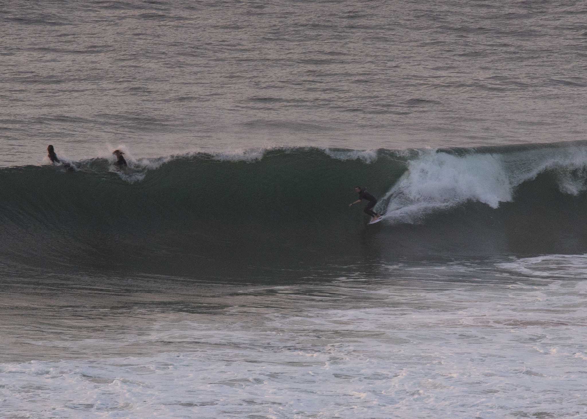
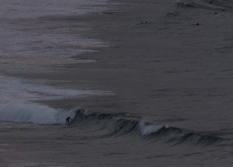
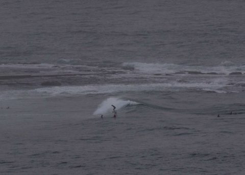
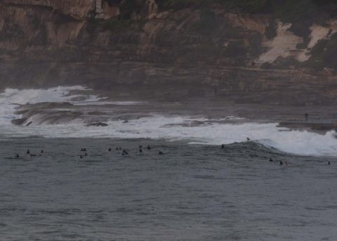
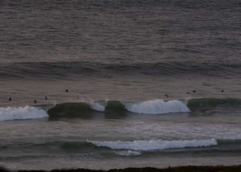
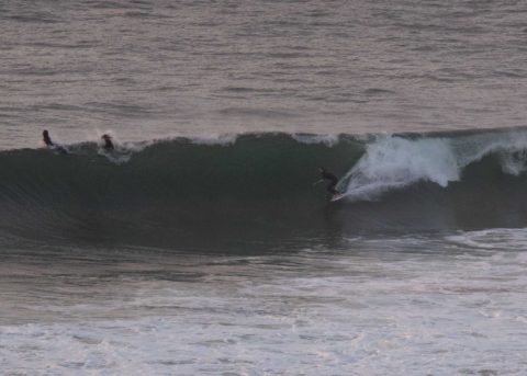
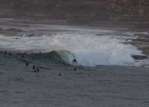
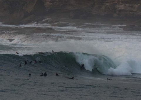
Had a look around at about 0700 this morning to see what the swell was doing. It’s an interesting mix of south and NE energy. Wave faces on the sets are solidly overhead. I’d call it 1.5x. The problem is that the swell is mature and that means the beach break options are seeing major shutdown action, particular when the bigger sets roll in. The point at Dee Why was very well attended (I counted about 25 people at 0700) and there was something of a wait for the bigger sets, but it wasn’t bad. Up the beach toward the Pole sets looked a bit bigger, but there was the shutting down problem. Around at Collaroy-Narrabeen, the beaches were looking peak-free but at Northy people were finding something. (I had a look at Northy yesterday and at midday at least, the quality was not great. The banks just weren’t operating at their usual high standard.)
Surface conditions were reasonably smooth for the early session. Wind will pick up and be 15-20 kts NE by this afternoon. Tide is coming into a 1.7 m high at 1045. It should be mostly sunny after the morning cloud burns off and our high is set to be 29. Water is a crazy 25.
Swell should continue to pump for the next few days with early mornings being the best hope for smooth conditions. With luck there’ll be something surfable all week…
Have a top old Sunday and know your limits (especially you beginners!)
Weather Situation
A high pressure system over the western Tasman Sea is directing southeasterly winds along the north coast and northeasterly winds along the south coast. As the high moves further east, an approaching front over the southern ocean will bring a southerly change to the south coast later tonight or early Monday. In the wake of the front, a new high pressure system will strengthen to the south of Tasmania and extend a ridge along the New South Wales coast, resulting in fresh to strong south to southeasterly winds along the entire coast from late Monday.
Forecast for Sunday until midnight
- Winds
- Northeasterly 15 to 20 knots.
- Seas
- Around 1 metre, increasing to 1 to 1.5 metres during the afternoon.
- 1st Swell
- Easterly 2 metres.
- 2nd Swell
- Southerly 1 to 1.5 metres, decreasing to around 1 metre during the afternoon.
- Weather
- Cloud clearing.
- Caution
- Surf conditions may be more powerful than they appear and are expected to be hazardous for coastal activities such as crossing bars by boat and rock fishing.
Monday 19 February
Strong Wind Warning for Monday for Sydney Coast
- Winds
- Northeasterly 15 to 20 knots becoming variable about 10 knots early in the morning then becoming south to southeasterly 15 to 25 knots in the middle of the day. Winds reaching up to 30 knots in the late evening.
- Seas
- 1.5 to 2 metres, decreasing to 1 to 1.5 metres during the afternoon.
- 1st Swell
- Northeasterly 2 to 2.5 metres.
- 2nd Swell
- Southerly around 1 metre.
- Weather
- Partly cloudy. 60% chance of showers.
- Caution
- Large and powerful surf conditions are expected to be hazardous for coastal activities such as crossing bars by boat and rock fishing.
Tuesday 20 February
- Winds
- Southerly 25 to 30 knots turning southeasterly 15 to 20 knots during the morning.
- Seas
- 2.5 to 3 metres, decreasing to 1.5 to 2 metres during the afternoon.
- 1st Swell
- Northeasterly 2.5 metres, tending easterly 1.5 to 2.5 metres during the morning.
- 2nd Swell
- Southerly around 1 metre, increasing to 1 to 2 metres during the morning.
- Weather
- Cloudy. 60% chance of showers.
- Caution
- Large and powerful surf conditions are expected to be hazardous for coastal activities such as crossing bars by boat and rock fishing.

