
Hello Friends,
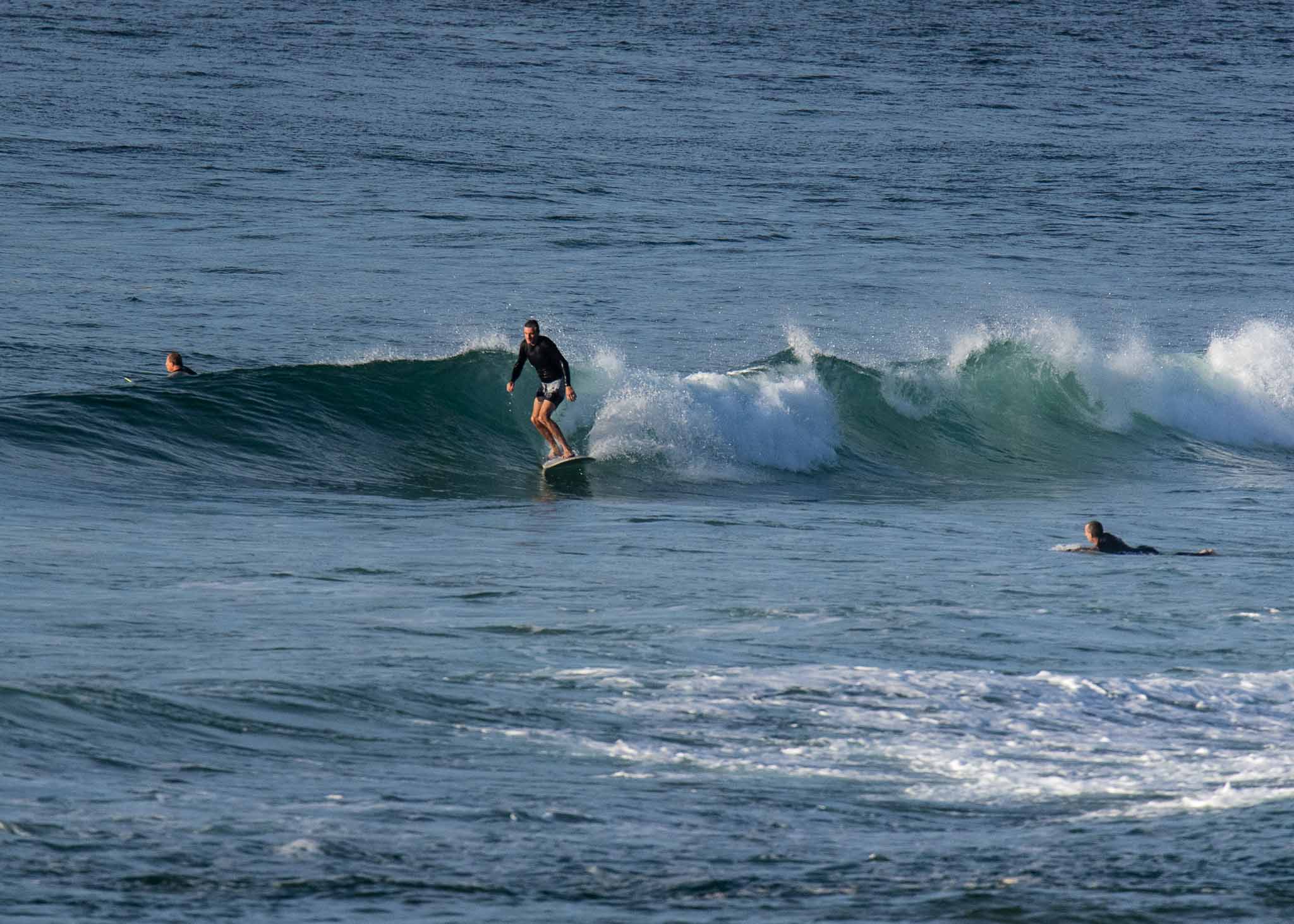
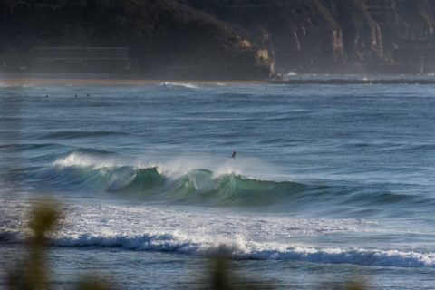
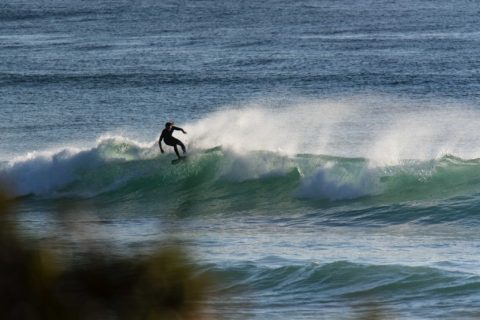
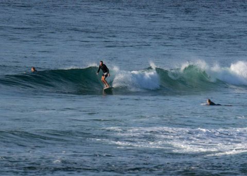
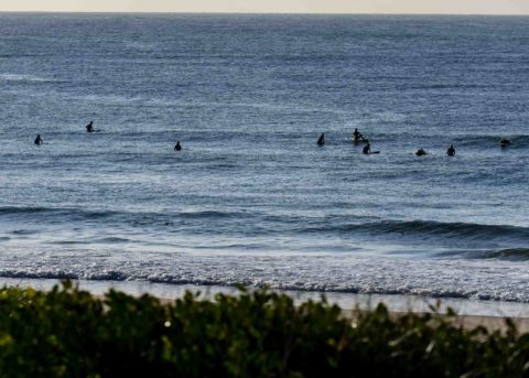
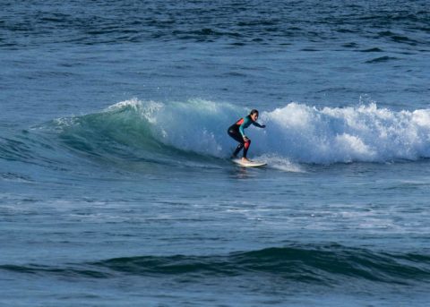
Another beautiful morning on the Northern Beaches. As of 0800 there was a little remnant swell from yesterday. It wasn’t as consistent and the size has dropped into the knee to waist range. To put some numbers on it, yesterday morning when it looked like this, the swell had a touch more south (107°), the average height was 1.5 m and period was a touch under 10 seconds. Now it’s a metre at 9 seconds from 97°.
Tide is ebbing to a 0.6 m low at 1220. Wind was faintly offshore when I grabbed the pics, but by lunch time we should have a light E-SE onshore of 10 kts.
As the pictures show, I looked at both Collaroy-Narrabeen and Longy-DY. Waves were really pretty much zip at North Collaroy but it was sorta kinda waist-ish from roughly the middle of the stretch to Northy. Around at Longy it was a similar size more or less along the beach to about No Mans. Didn’t see anything at the point.
Outlook is for the energy levels to come back up a little overnight, but tomorrow could be onshore from early. Wednesday morning looks more promising with light winds for the early and potentially juicy ESE energy in the 2m/12s range…
Have a great Monday everyone!
Weather Situation
A strong high pressure system south of the Bight with a ridge to the east is moving slowly east directing east to southeasterly winds along the New South Wales coast. Winds will turn southeast to northeasterly during Wednesday ahead of a late southerly change associated with a cold front crossing the southern Tasman Sea developing on the south coast in the evening. The change is expected to extend to the central coast Thursday afternoon and weaken.
Forecast for Monday until midnight
Winds
East to southeasterly about 10 knots.
Seas
Below 0.5 metres.
Swell
Easterly around 1 metre inshore, increasing to 1 to 1.5 metres offshore.
Weather
Partly cloudy.
Tuesday 13 March
Winds
East to southeasterly about 10 knots increasing to 10 to 15 knots in the late afternoon then tending east to northeasterly in the late evening.
Seas
Around 1 metre.
1st Swell
Southerly around 1 metre, increasing to 1 to 1.5 metres during the morning, then increasing to 1.5 to 2 metres by early evening.
2nd Swell
Easterly around 1 metre, increasing to 1 to 1.5 metres during the morning.
Weather
Cloudy. 60% chance of showers.
Wednesday 14 March
Winds
Northeasterly 15 to 20 knots tending northerly during the evening.
Seas
Around 1 metre, increasing to 1 to 1.5 metres inshore during the evening.
1st Swell
Southerly 1.5 to 2 metres, decreasing to 1 to 1.5 metres during the morning.
2nd Swell
Easterly 1.5 metres, decreasing to around 1 metre during the afternoon.
Weather
Partly cloudy. 50% chance of showers. The chance of a thunderstorm in the afternoon and evening

