Hello Friends,
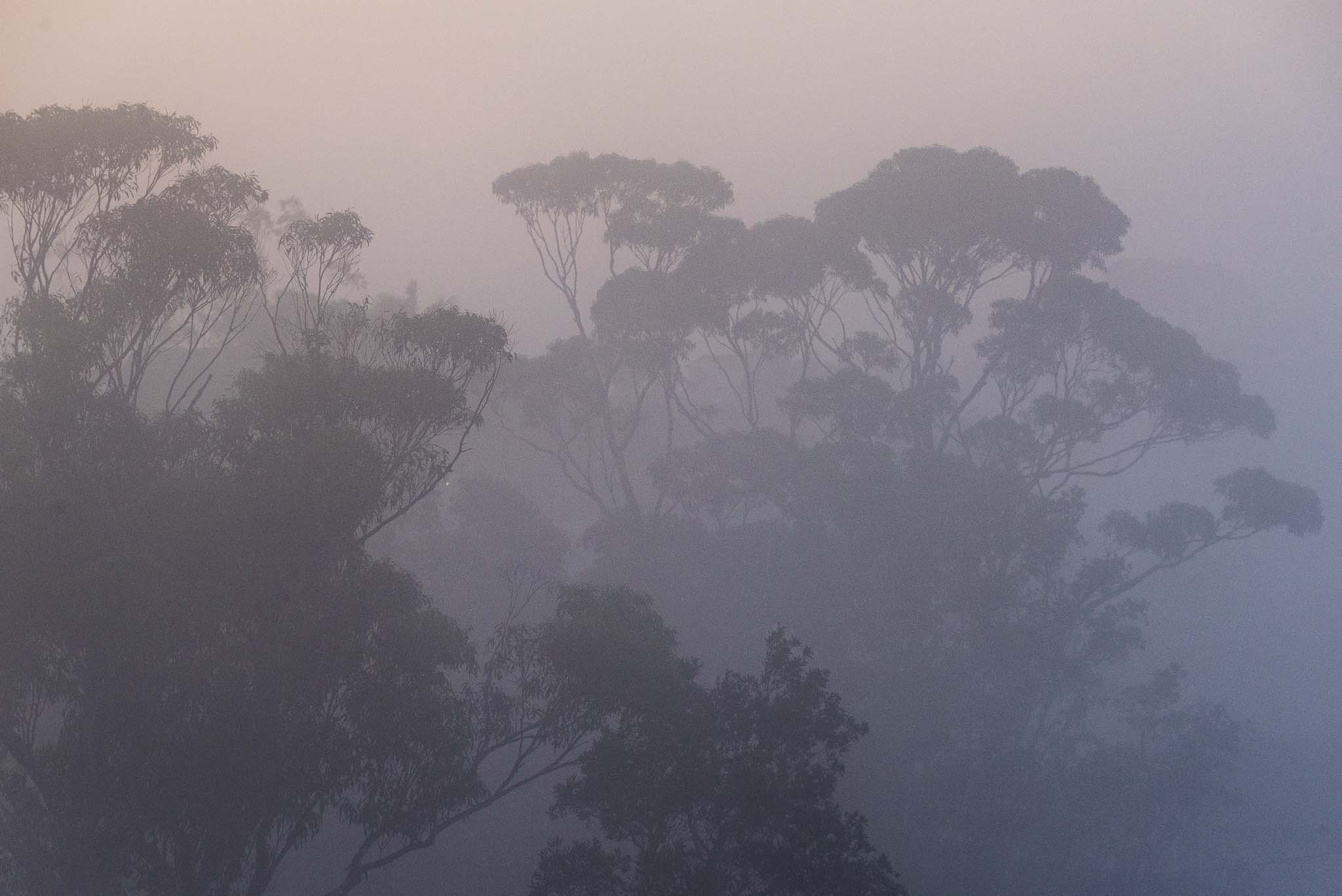
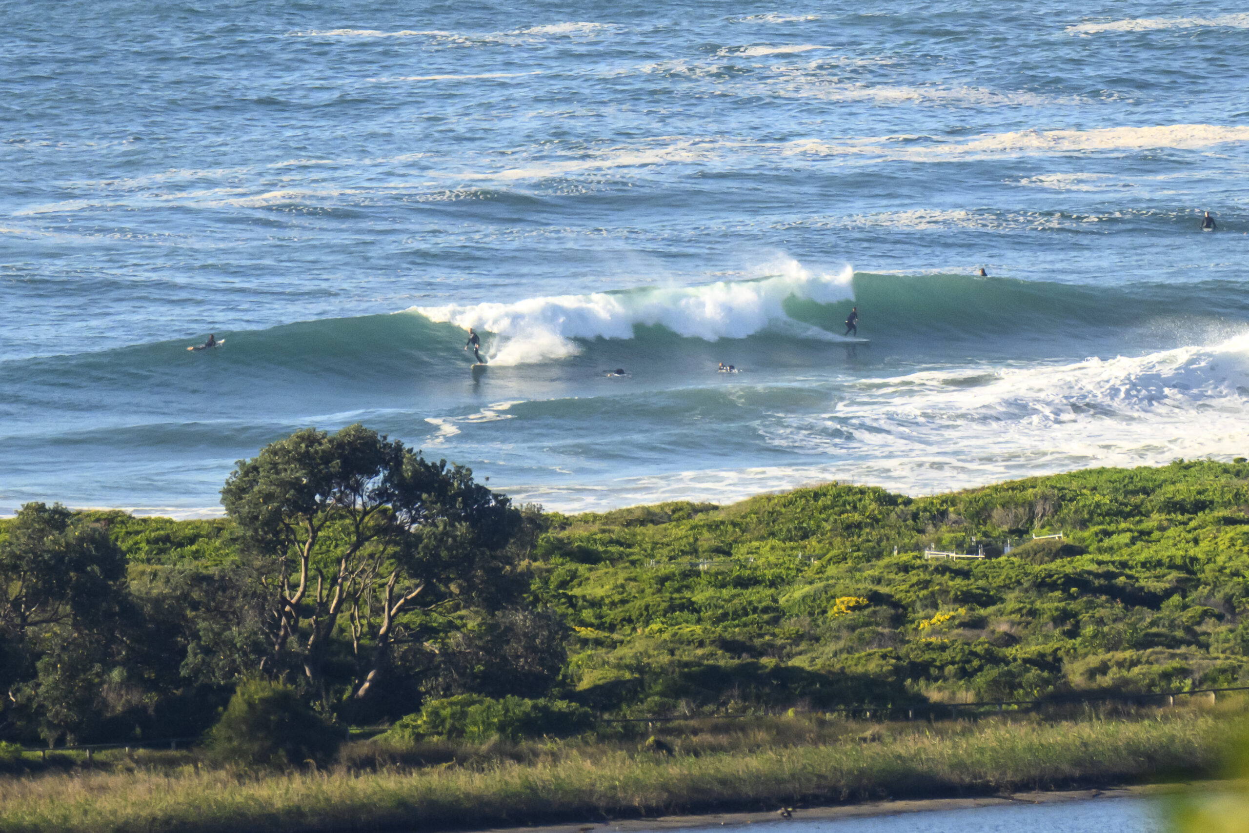
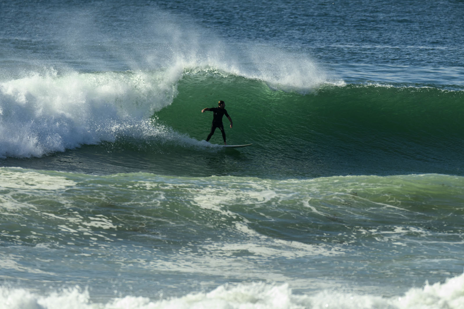
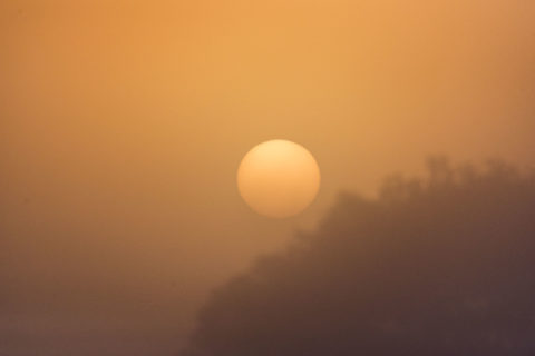
Foggy start to what promises to be a warm Sunday. Visibility was down to 100m when I tried to see the beach from the crows nest at 0615. So I took a couple of pictures for something to do. I’ll grab some shots of the beach when it lifts.
The MHL data from 0500 showed 1.2 m of 9 second east swell, so there might be a little something around. Maybe. Tide is heading to a 1.7 m at 0850. Wind was 5 kts from the north as of 0640.
More in a bit when I can see something!
Weather Situation
A slow moving high pressure system over the Tasman Sea with a ridge to the northwest is directing east to northeasterly winds along the New South Wales coast. A weak southerly change associated with a cold front is expected along the south and central coasts during Tuesday.
Forecast for Sunday until midnight
- Winds
- Northerly 15 to 20 knots.
- Seas
- 1 to 2 metres.
- Swell
- Easterly around 1 metre.
- Weather
- Sunny.
Monday 2 April
- Winds
- Northerly 15 to 20 knots becoming variable about 10 knots in the early afternoon ahead of a southerly change 15 to 25 knots in the evening.
- Seas
- 1 to 2 metres, decreasing to 1 metre around midday, then increasing to 1 to 2 metres later in the evening.
- Swell
- Northeasterly 1 to 1.5 metres, decreasing to around 1 metre during the morning, then increasing to 1 to 1.5 metres around midday.
- Weather
- Partly cloudy.
Tuesday 3 April
- Winds
- Southerly 15 to 20 knots tending southeasterly 10 to 15 knots during the afternoon.
- Seas
- 1.5 to 2 metres, decreasing to 1 to 1.5 metres during the morning.
- 1st Swell
- Easterly 1 to 1.5 metres.
- 2nd Swell
- Southerly around 1 metre.
- Weather
- Cloudy.
