Hello Friends,
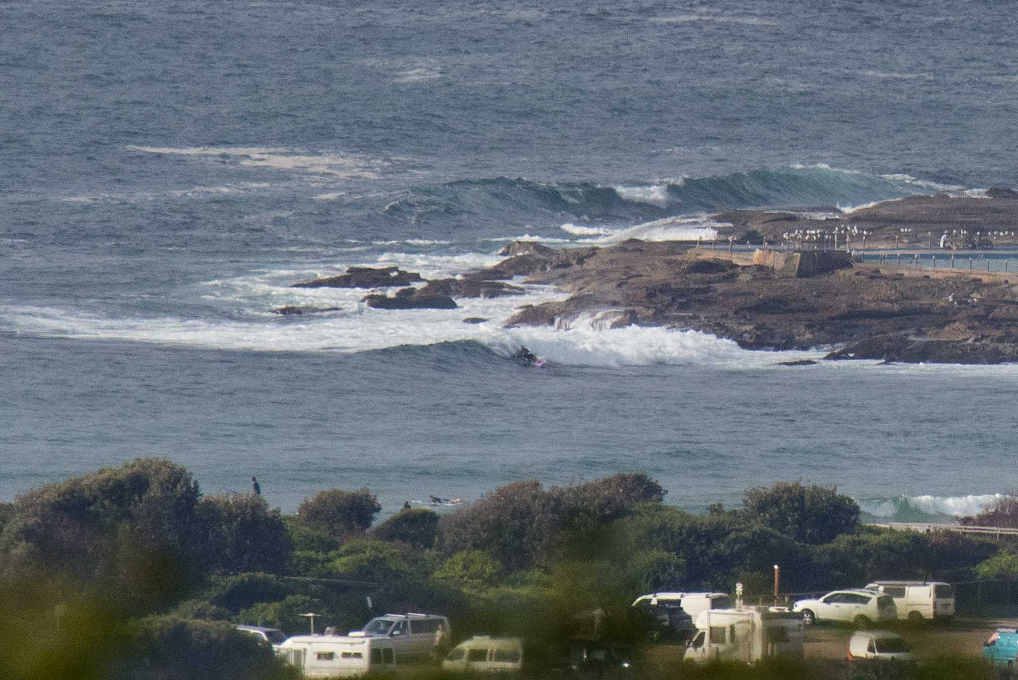
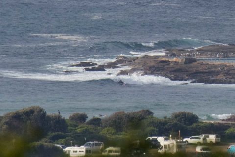
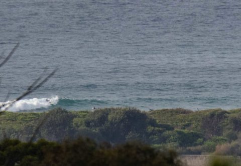
Cloudy with sunny breaks this morning. Wind was out of the SW to WSW at 4-6 kts as of 0830. As the day warms up it should come around to the N-NE. There were knee to waist plus waves along the beach and occasionally at the point. Quality didn’t look amazing as it was kind of dumpy and choppy, but if you were patient, there were moments. Being a mild, sunny Sunday morning with little waves, the crowd intensity is dialled right up to the high range. Take your chill attitude and all will be well.
The main swell energy, such as it is, is coming from the south, but the waves are looking more east. At 0700 the MHL buoy was showing 1.2 m from 95° at 10 seconds. Tide was a moderate 0.7m low at 0830 and is now filling into an only slightly higher high pf 1.2m at 1430. So not much change on that front.
We’re heading to a high of 28° and water is 23° and unpolluted. UV will be high from 0910 to 1430.
Weatherwise the week ahead looks to be warm and partly cloudy to mostly sunny until the weekend.
Outlook is for the current swell intensity to stay around what it is now through to midweek when models show it coming around to the SSE and picking up into the 1.5-2m range with 10-13 sec periods. Wednesday morning currently looks like being fun and the same again on Friday. Figure waist plusses Wed and southerly and bigger Thursday then back to to fun and waist plus Friday. Longer range models still show tiny and weak conditions for the following week, but that’s speculative in the extreme.
Have a great Sunday everyone!
Weather Situation
A slow-moving high pressure system over the Tasman Sea extends a ridge to the far north coast, while a weakening trough lies over the central coast. Once the trough dissipates this morning, the high will direct northeasterly winds along the entire coast. On Monday a low pressure system will move east across the southern Tasman Sea, while the high remains over the the northern Tasman. A trough associated with this low is forecast to bring a southerly change, moving through the southern and central coast on Monday and the north coast on Tuesday.
Forecast for Sunday until midnight
- Winds
- North to northeasterly 15 to 20 knots, tending southerly about 10 knots inshore in the morning.
- Seas
- 1 to 1.5 metres, increasing to 1.5 to 2 metres by early evening.
- Swell
- Easterly around 1 metre.
- Weather
- Mostly sunny.
Monday 9 April
- Winds
- North to northwesterly 15 to 20 knots shifting southerly in the middle of the day.
- Seas
- 1 to 2 metres.
- 1st Swell
- East to northeasterly 1 to 1.5 metres.
- 2nd Swell
- Southerly around 1 metre.
- Weather
- Sunny.
Tuesday 10 April
- Winds
- Southerly 10 to 15 knots turning east to southeasterly below 10 knots during the day then tending northeasterly 10 to 15 knots during the evening.
- Seas
- 1 to 1.5 metres, decreasing below 1 metre during the morning.
- Swell
- Southerly 1 to 1.5 metres.
- Weather
- Partly cloudy.

