Hello Friends,
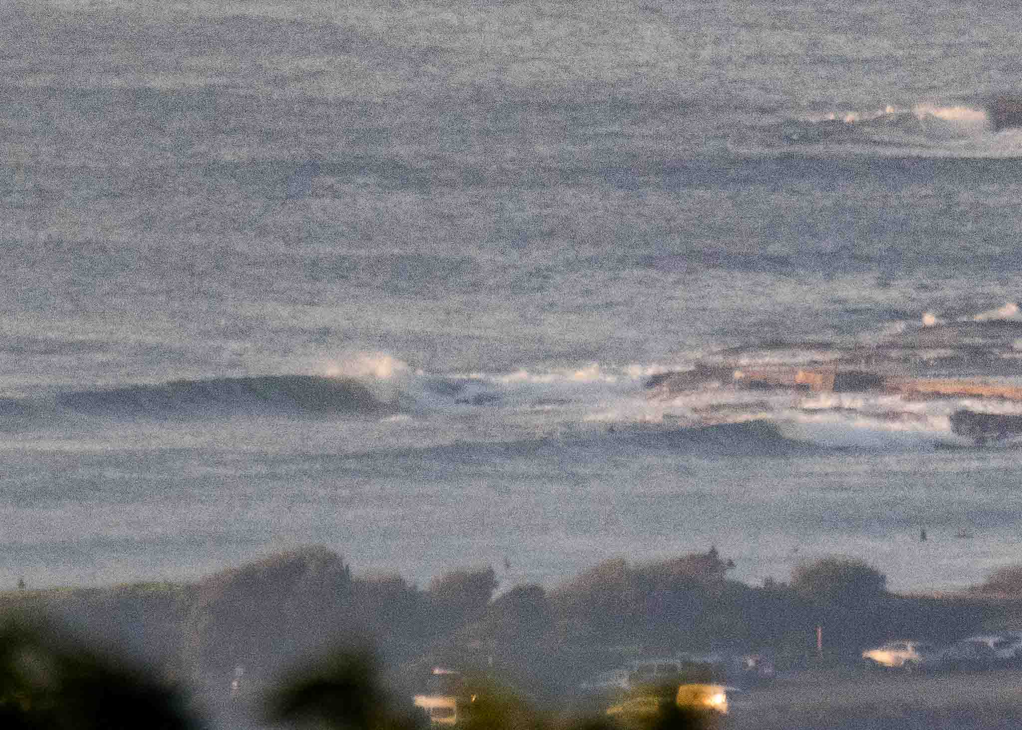
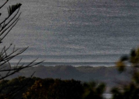
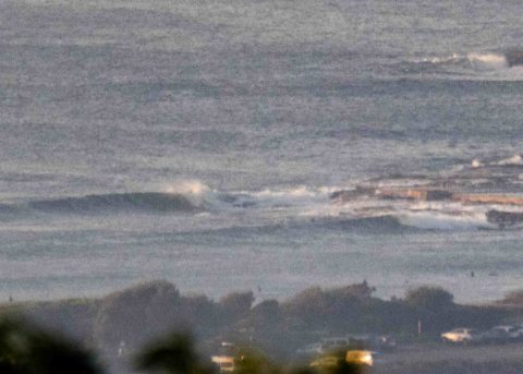
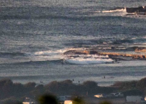
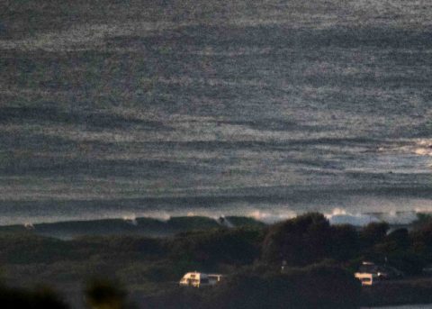
Heavy smoke haze this morning so picture quality not the best, but you should be able to see that there were interesting sets turning up at Dee Why at around 0700 this morning. The MHL Sydney buoy isn’t reporting in at the moment, but down the coast at Pt Kembla it was SSE, 1.4 m at 14 seconds. Looking at the Dee Why end of the beach and the point, I’d be calling it waist with chest plusses from time to time.
Wind was NW 10-15 kts at 0730 and it should increase a little as the day gets to the (insane) high of 35°
Tide was a 1.6 m high at 0615 and we’re currently headed to the 0.45 m low at 1245.
Outlook you ask? Check the Goat’s thoughts!
Have a top old Friday everyone!
Forecast for Friday until midnight
Strong Wind Warning for Friday for Sydney Coast
- Winds
- Northwesterly 15 to 20 knots turning northerly in the middle of the day. Winds reaching up to 30 knots in the late evening.
- Seas
- 1 to 2 metres, increasing to 1.5 to 2.5 metres by early evening.
- 1st Swell
- Southeasterly 1 to 1.5 metres, tending southerly around 1 metre by early evening.
- 2nd Swell
- Northeasterly 1 to 1.5 metres.
- Weather
- Sunny morning. The chance of a thunderstorm during this afternoon and evening.
Saturday 14 April
Strong Wind Warning for Saturday for Sydney Coast
- Winds
- North to northwesterly 20 to 30 knots becoming northwesterly 20 to 25 knots in the middle of the day then increasing to 25 to 30 knots in the late afternoon.
- Seas
- 2 to 3 metres.
- Swell
- Northeasterly around 1 metre.
- Weather
- Partly cloudy. The chance of a thunderstorm in the morning.
Sunday 15 April
- Winds
- West to northwesterly 20 to 30 knots.
- Seas
- 2 to 3 metres, decreasing to 1 to 1.5 metres during the afternoon or evening.
- 1st Swell
- South to southeasterly around 1 metre.
- 2nd Swell
- Northeasterly around 1 metre.
- Weather
- Sunny.

