Hello Friends,
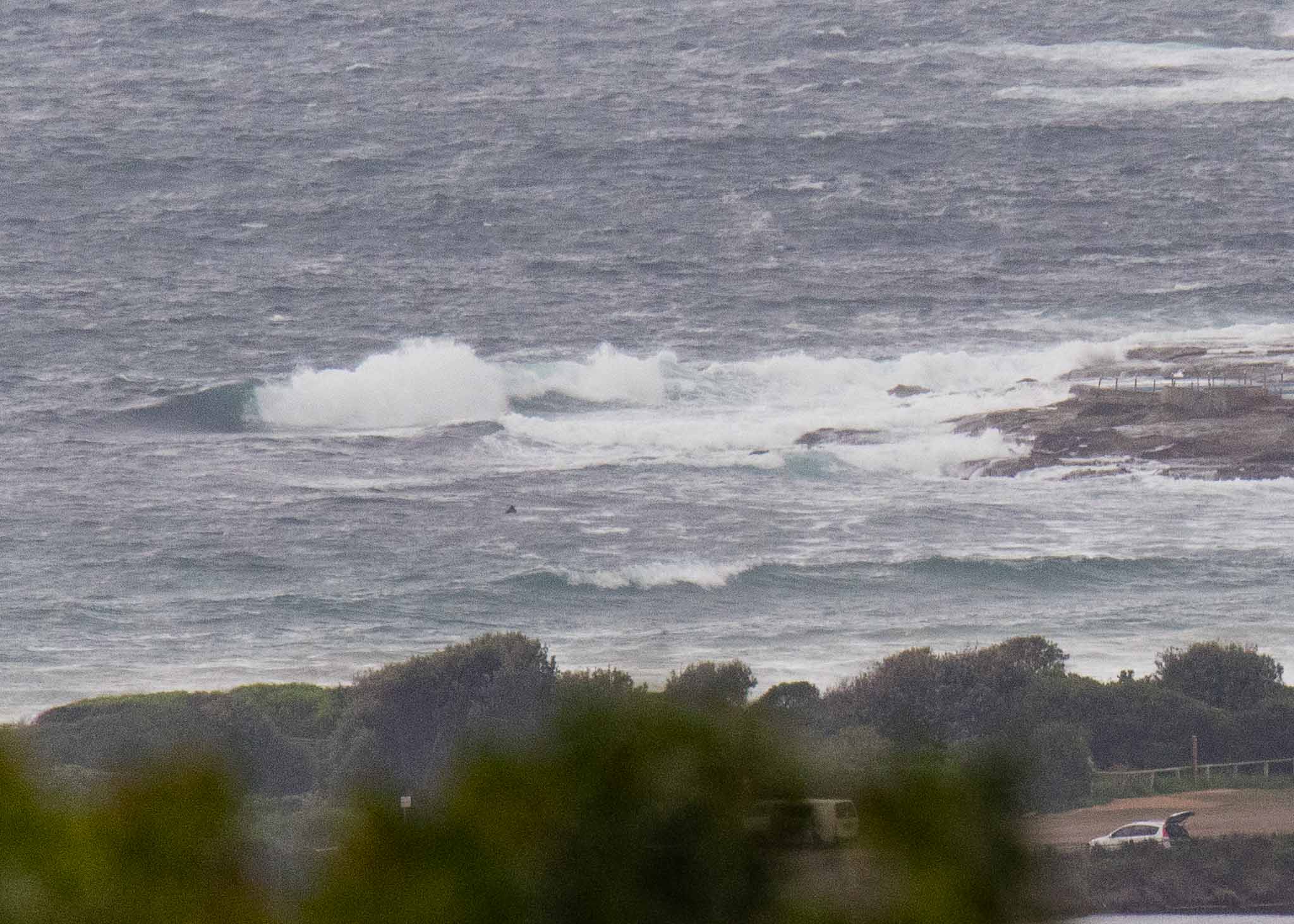
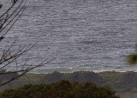
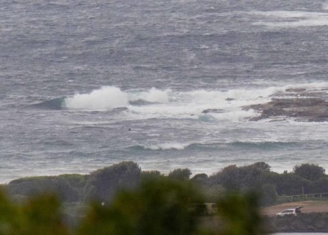
Surf conditions are completely unappetizing at Dee Why. I could only see one person in the water. I’d call wave faces waist to chest plus on sets. But it’s so wind-blown and bumpy that catching the close-together wind swell will be a real challenge. Wind was SE 15-20 kts as of 0850, right in line with the forecast. Out at sea the MHL buoy was showing a touch under 3 metres of 9-second south wind swell. There was a 1.7 m high tide at 0610 and it’s now dropping to a very low 0.38 m at 1230. The wind isn’t expected to decrease today or indeed across the weekend.
It’s Friday, so as usual I’ll dispense with speculations about the longer term outlook and refer you instead to the cogitations of the mighty Goat (see down page)
Have a good Friday everyone and keep on smilin’ the waves will get better…eventually!
Forecast issued at 4:10 am EST on Friday 27 April 2018.
Weather Situation
A slow-moving high pressure system southeast of the Bight with a ridge along the New South Wales coast is directing south to southeasterly winds across the western Tasman Sea.
Forecast for Friday until midnight
Strong Wind Warning for Friday for Sydney Coast
- Winds
- Southerly 15 to 25 knots, reaching up to 30 knots offshore early in the morning. Winds tending southeasterly 15 to 20 knots in the late evening.
- Seas
- 1.5 to 2.5 metres.
- Swell
- Southerly 1.5 to 2 metres.
- Weather
- Cloudy. 70% chance of showers.
Saturday 28 April
- Winds
- Southeasterly 15 to 20 knots.
- Seas
- 1.5 to 2 metres, decreasing to 1 to 1.5 metres by early evening.
- Swell
- Southerly 1.5 metres, tending southeasterly 1.5 to 2 metres during the morning.
- Weather
- Partly cloudy. 70% chance of showers.
Sunday 29 April
- Winds
- South to southeasterly 15 to 20 knots.
- Seas
- Around 1 metre, increasing to 1 to 1.5 metres offshore.
- Swell
- Southeasterly 1.5 metres.
- Weather
- Partly cloudy. 70% chance of showers.

