Hello Friends,
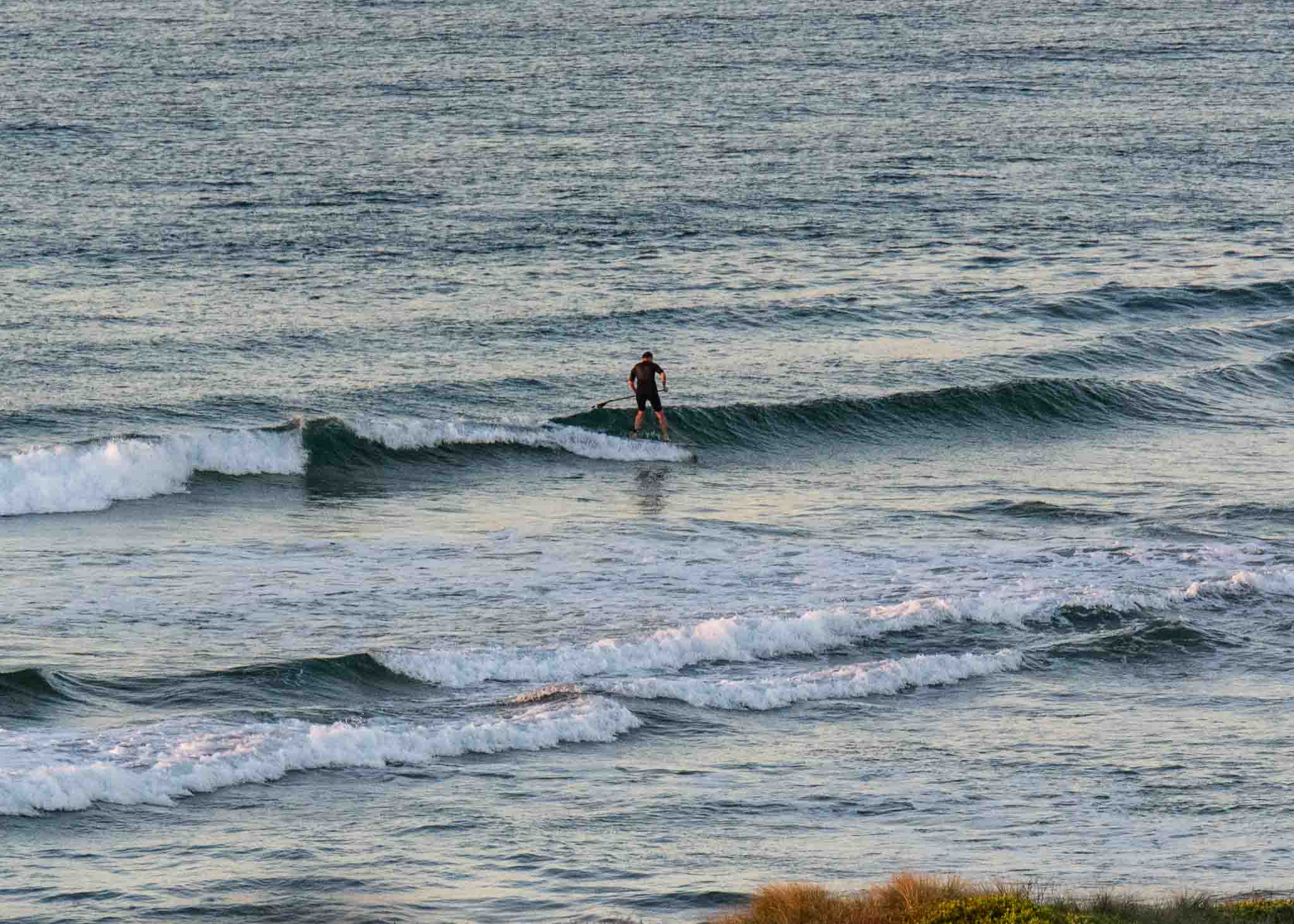
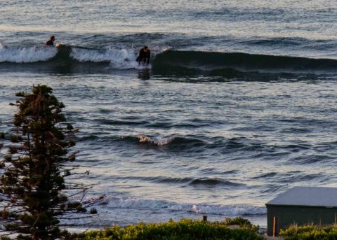
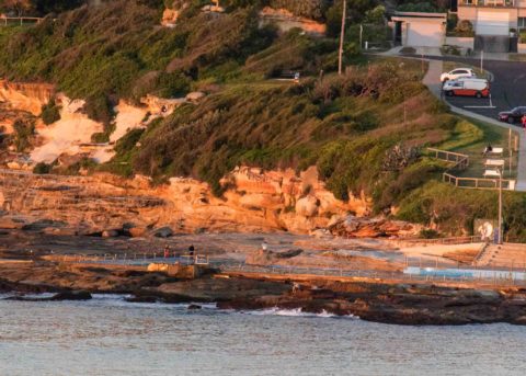
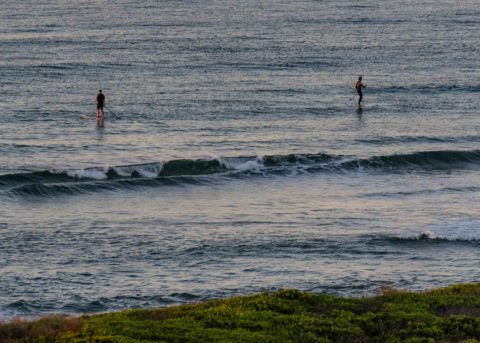
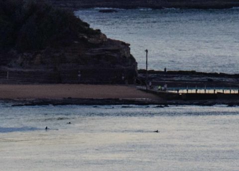
Distinctly cool this morning at daybreak. Wind was lightly offshore early and it’ll be sunny all day as we head to a high of 22. As the pictures show, there are only the tiniest of tiny ripples coming in. If you’re really keen and have something buoyant, it’s possible to get the odd knee high bump that may even run a few metres. But for the most part it’s not really surfable in any meaningful sense. And, it looks as though we’re going to be stuck in this pattern for another 4 or 5 days. It’s a classic winter flat spell.
The long range models are currently showing a south swell event filling in from around Friday and lasting potentially into the early part of the following week. If the forecast pans out, we could see 3+ metres at south magnets. Of course at 7 days out, a lot can change, so just pencil it in for now.
Have a great Saturday one and all!


Weather Situation
A cold front and south to southwesterly change is moving along the far north coast this morning and then over the Tasman Sea as a high pressure ridge pushes across the state. This ridge will cause winds about central parts to become variable over the weekend. By Monday winds are expected to turn northerly as the high pressure system moves over the Tasman Sea.
Forecast for Saturday until midnight
- Winds
- Southwesterly 15 to 20 knots decreasing to about 10 knots in the middle of the day then becoming easterly in the afternoon.
- Seas
- 1 to 1.5 metres, decreasing below 1 metre during the morning.
- Swell
- Southerly 1 to 1.5 metres.
- Weather
- Sunny.
Sunday 6 May
- Winds
- West to northwesterly below 10 knots becoming north to northeasterly in the afternoon.
- Seas
- Below 0.5 metres.
- Swell
- Southerly around 1 metre.
- Weather
- Sunny.
Monday 7 May
- Winds
- Northerly 15 to 20 knots.
- Seas
- Below 1 metre, increasing to 1 to 1.5 metres during the afternoon.
- Swell
- Southerly below 1 metre.
- Weather
- Mostly sunny.

