Hello Friends,
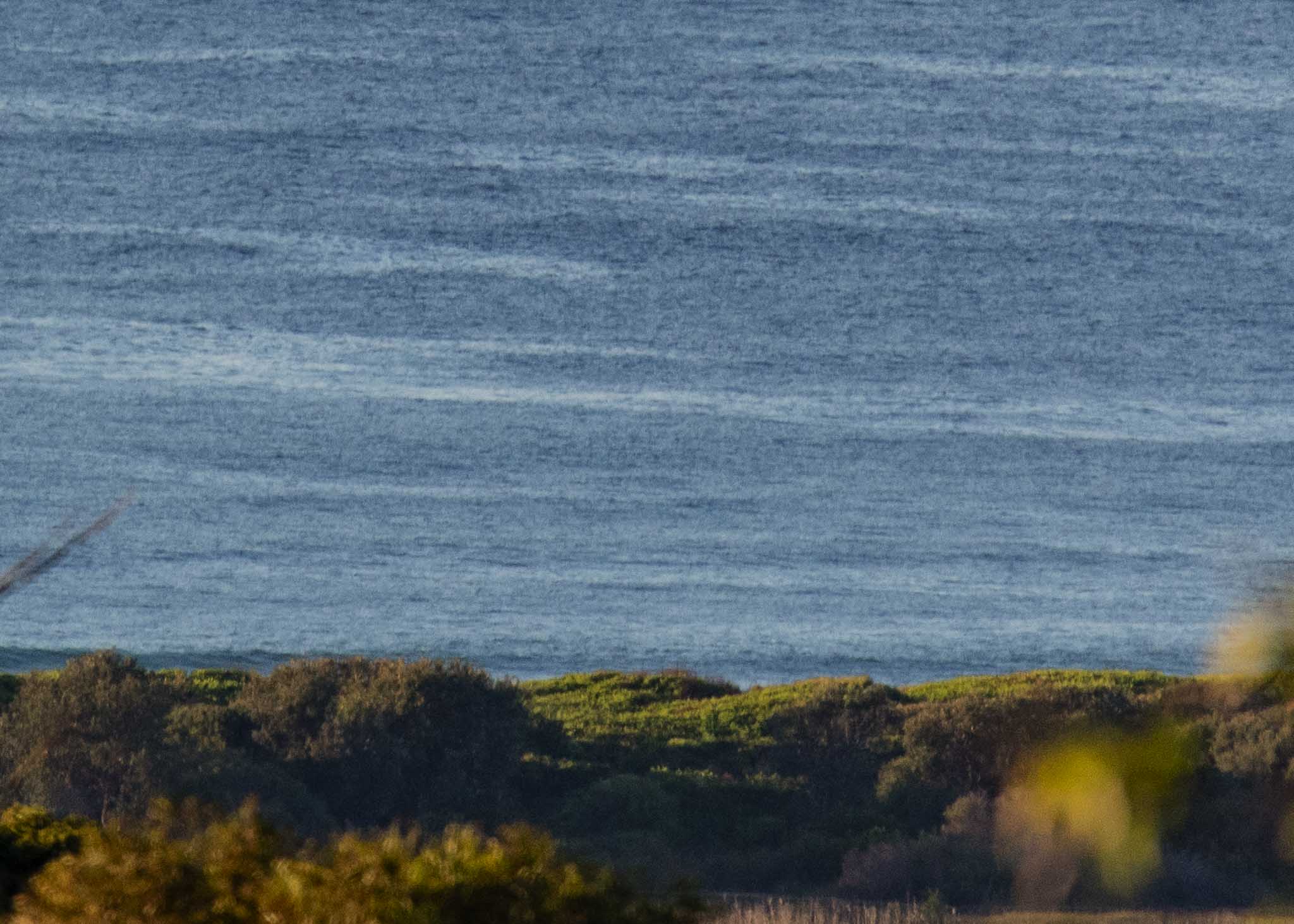
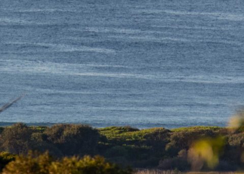
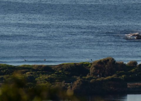
“Below 1 metre” echoes across the next three days in the Bureau’s forecast. There were a couple of people in the water at the Dee Why but I didn’t see anything come through for them while waiting to take the pics at around 0715. The MHL data from 0500 was showing 0.85 m of 9-10 second bump from 126° (SE) – which is more or less in line with where it’s been for the last three or four days now. The tide hits a 0.65 m low at 0745 and then comes back into the high of 1.2 m at 1350. It should be sunny and warming to a summery 25° under sunny skies. Water’s around 21°.
MHL’s prediction for our area is inline with the Bureau’s forecast in terms of the size. Unlike the Bureau, they also predict the wave period and they’re showing the current power level dropping into the wind chop range (@5 sec) today. They show this low intensity persisting until late tomorrow afternoon before spiking up to 19 seconds briefly. It could still be close to 18 seconds on Wednesday morning. But the swell will still be sub-1 metre. Nevertheless, the longer period alone should mean a bump into the waist to waist and a bit range at magnet spots.
The small but just surfable conditions should make it to the weekend, but then it currently looks like going tiny before that expected low pressure development starts spinning up and slinging big south swell at us for a couple of days at least. Right now anyway, the long range models say we should have south energy in reasonable quantity from around late Sunday through to Friday. But that’s far enough in the future to be highly speculative.
Have a great Monday everyone!
Weather Situation
A high pressure system over the western Tasman Sea is slowly moving east, maintaining a ridge towards northern New South Wales, as a trough approaches the state. This trough will bring a brief southerly change to southern parts of the coast tomorrow. Winds are expected to strengthen on Thursday and Friday as a significant cold front crosses the state, forming a low possibly near the south coast or Tasmania. However, some uncertainty remains in regard to its location and movement.
Forecast for Monday until midnight
- Winds
- Northerly 15 to 20 knots.
- Seas
- Below 1 metre, increasing to 1 to 1.5 metres during the morning.
- Swell
- Southerly below 1 metre.
- Weather
- Sunny.
Tuesday 8 May
- Winds
- Northerly 15 to 20 knots tending northwesterly 10 to 15 knots before dawn then becoming variable about 10 knots in the middle of the day.
- Seas
- 1 to 1.5 metres, decreasing below 1 metre during the morning.
- Swell
- East to northeasterly below 1 metre.
- Weather
- Partly cloudy.
Wednesday 9 May
- Winds
- Variable about 10 knots becoming north to northeasterly 10 to 15 knots during the afternoon.
- Seas
- Around 1 metre.
- Swell
- Southerly below 1 metre.
- Weather
- Mostly sunny. The chance of a thunderstorm.

