Hello Friends,
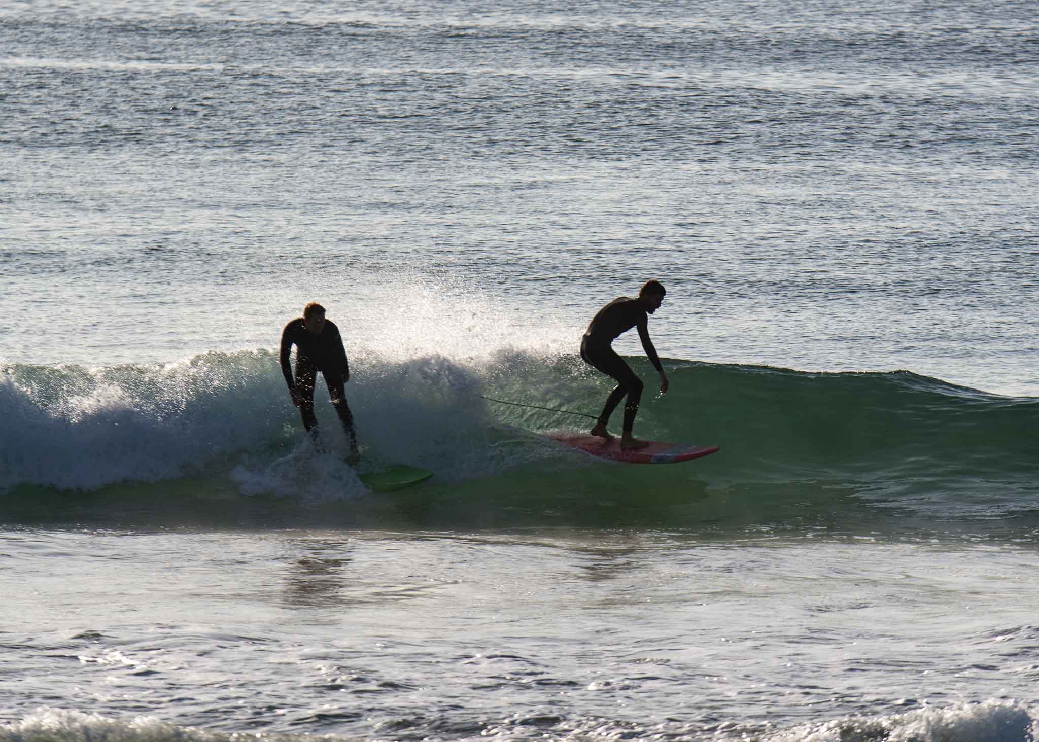
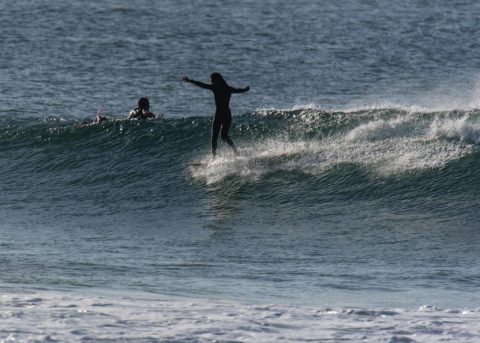
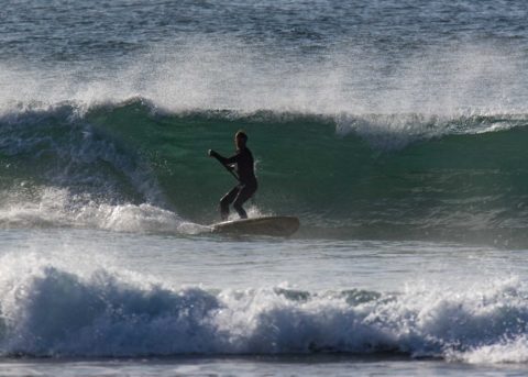
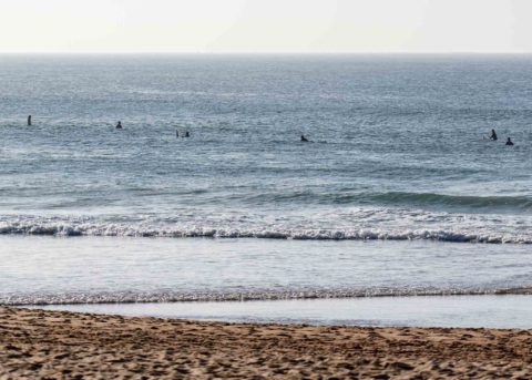
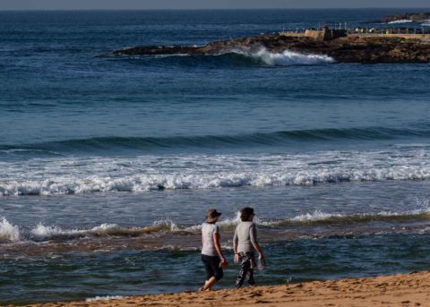
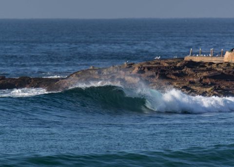
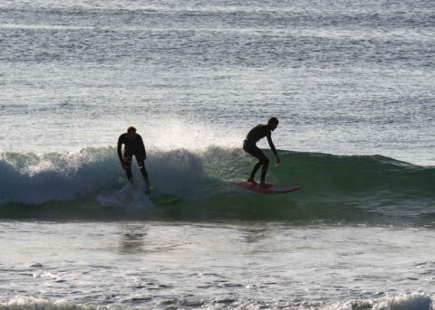
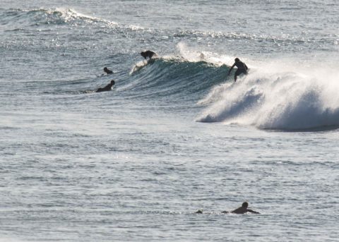
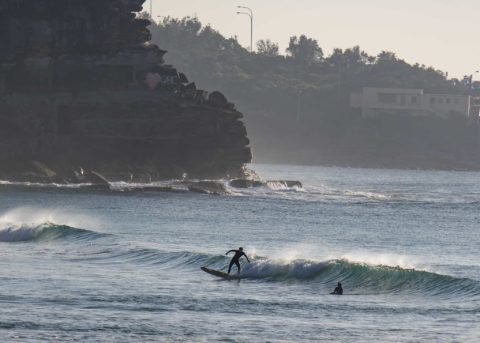
Made the Manly run this morning and grabbed a few snaps on the way home. As you can see there are rideable sets. I’d call the biggest ones at Manly and Curly waist to chest but at Dee Why I saw at least one set that was near shoulder. The harsh reality is that you do a fair amount of waiting for them to turn up. Average size of the swell at sea as of 0700 was 0.9 m. It was coming from 149°, which is a good thing for lots of our beaches and the average period was sitting just a little under 14 seconds, which is just generally a good thing.
Wind is set to be light and variable this morning (it was coming from the west when I checked) and tide is currently dropping to a 0.6 m low at 0940. It’ll come back into a 1.3 m high at 1600. Should be sunny and a warm 25. UV’s losing its sting and is expected to be 4 from 1020-1320.
Checking the models, it would seem that we might have a smaller conditions tomorrow and then near flat Friday as the wind starts to pick up strongly ahead of a major south pulse overnight into Saturday morning. And then on Sunday it could go nuts as wind gets into the 20-30 kt range from the SSW and the dead south swell just goes stupid at 4-6 metres (depending on who you believe) at 12 seconds. Some models project the swell to be into the 3 metre range through Tuesday, and then it drops back into the 2 metre range to see out the week. Yikes! Looks like your correspondent chose an interesting week for another trip up the coast.
Have a great day everyone!
Weather Situation
A trough over northern parts of the coast today moves east directing moderate southerly winds over the area, while elsewhere about the coastal waters a high pressure ridge results in northerly winds for the remainder of today. Northwest to southwesterly winds are expected to strengthen on Thursday and Friday as a significant cold front crosses New South Wales, and a complex low pressure system is expected to form as this front moves across Bass Strait. This low is forecast to linger off the southern New South Wales or eastern Victorian coast until later on the weekend.
Forecast for Wednesday until midnight
- Winds
- Variable about 10 knots tending north to northeasterly 10 to 15 knots during the afternoon.
- Seas
- Below 1 metre.
- 1st Swell
- Southerly around 1 metre, increasing to 1 to 1.5 metres later in the evening.
- 2nd Swell
- Northeasterly around 1 metre.
- Weather
- The chance of a shower or thunderstorm offshore this morning. Mostly sunny afternoon.
Thursday 10 May
- Winds
- West to northwesterly about 10 knots tending north to northwesterly 15 to 20 knots in the morning then then shifting west to southwesterly 15 to 25 knots in the evening.
- Seas
- Around 1 metre, increasing to 1 to 2 metres by early evening.
- 1st Swell
- Southerly 1 to 1.5 metres, decreasing to around 1 metre during the morning.
- 2nd Swell
- East to northeasterly 1 to 1.5 metres.
- Weather
- Partly cloudy.
Friday 11 May
- Winds
- West to northwesterly 20 to 30 knots.
- Seas
- 1 to 1.5 metres, increasing to 2 to 3 metres during the morning.
- Swell
- East to northeasterly 1 to 1.5 metres.
- Weather
- Partly cloudy. 50% chance of showers. The chance of a thunderstorm in the afternoon and evening.

