Hello Friends,
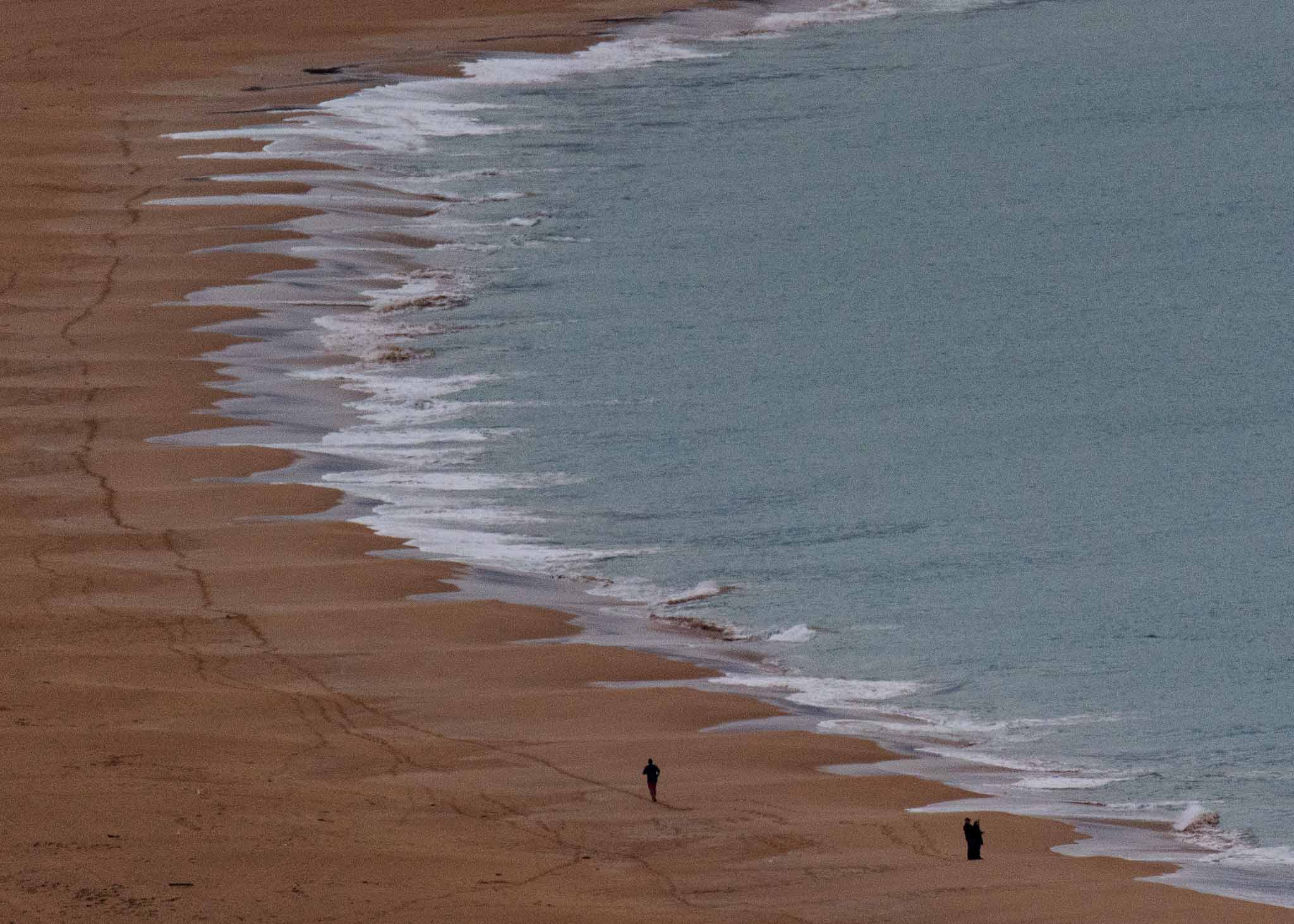
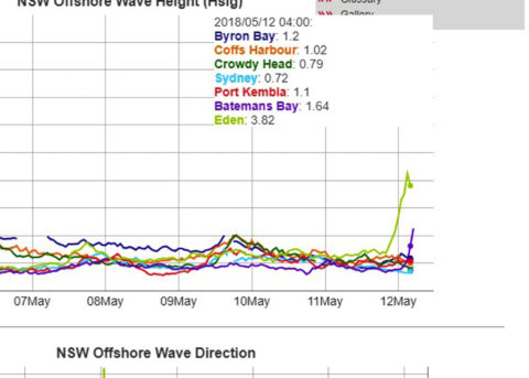
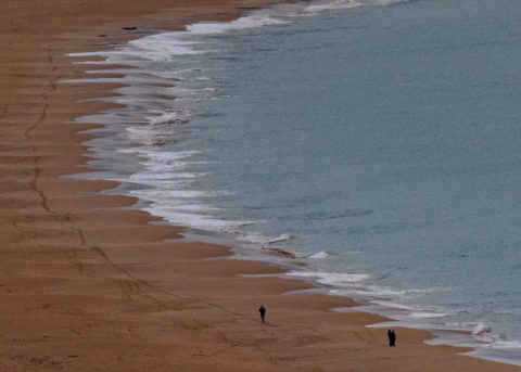
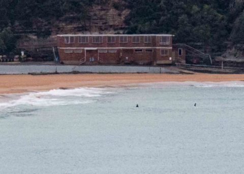
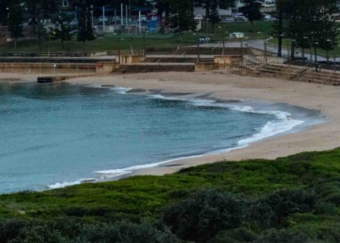
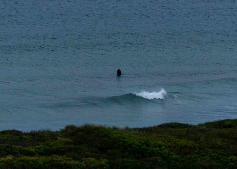
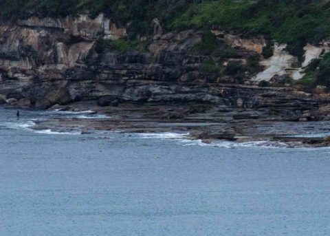
Unsurfably tiny along the beaches at daybreak Saturday. I grabbed a few snaps between showers to document the flatness. However, as the MHL buoy shot below reveals, the swell should come up dramatically later today.
As Saturday kicked off the wind was 15-20 kts from the west. It should pick up and swing SW soon and pick up. The swell should be obvious at south swell magnets by early afternoon. At 0400 swell period down at Eden was in the 13-sec range. If the swell builds to the 2.5 – 4 metre range as predicted, there should be some pretty solid sets at dead south spots. This is one of those days when swell could hit some places dramatically while largely missing others. The more SW component, the less energy we’ll see.
Tide hit a 1.56 m high at 0535 and is dropping to a 0.47 m low at 1155.
Weather Situation
A complex low pressure system over the southwestern Tasman Sea will move towards the northeast today and direct a vigorous south to southwesterly change across the coastal waters. Winds are expected to gradually ease during Sunday and Monday as the low moves further east.
Forecast for Saturday until midnight
Gale Warning for Saturday for Sydney Coast
- Winds
- Westerly 25 to 35 knots turning south to southwesterly 25 to 40 knots in the late morning and early afternoon.
- Seas
- 2 to 3 metres, increasing to 3 to 4 metres during the morning.
- Swell
- South to southwesterly 1.5 to 2.5 metres, increasing to 2.5 to 4 metres around midday, then tending southerly 3 to 4 metres during the afternoon.
- Weather
- Cloudy. 95% chance of showers. The chance of a thunderstorm.
- Caution
- Surf conditions may be more powerful than they appear and are expected to be hazardous for coastal activities such as crossing bars by boat and rock fishing.
Sunday 13 May
Strong Wind Warning for Sunday for Sydney Coast
- Winds
- Southerly 25 to 30 knots.
- Seas
- 2.5 to 3 metres.
- Swell
- Southerly 3 to 4 metres, decreasing to 2 to 3 metres during the morning, then increasing to 3 to 4 metres later in the evening.
- Weather
- Cloudy. 95% chance of showers. The chance of a thunderstorm.
- Caution
- Surf conditions may be more powerful than they appear and are expected to be hazardous for coastal activities such as crossing bars by boat and rock fishing.
Monday 14 May
- Winds
- Southerly 20 to 30 knots.
- Seas
- 2.5 to 3 metres.
- Swell
- Southerly 3 to 4 metres, decreasing to 3 metres during the afternoon.
- Weather
- Partly cloudy. 80% chance of showers. The chance of a thunderstorm.

