Hello Friends,
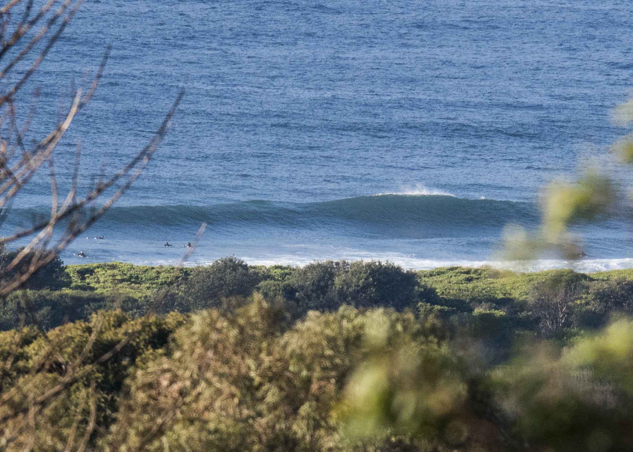
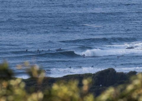
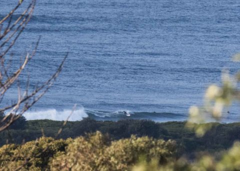
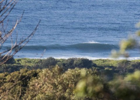
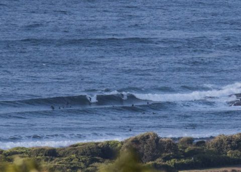
Swell ramped yesterday and this morning sees 2.5 metres of 7-8 second south swell lighting up the point and the beach with chest to shoulder high sets – and the odd bigger bomb.
As of 0830 North Head was seeing 8-13 kts of WSW wind. It’s set to go around to the south soon, so those who got in early will have had the best of it. Tide is currently dropping to a 0.3 m low around 1115 and it will be back to a 1.7 m high just after dark.
Right now it looks as though this could be the peak for the week, but with luck there’ll still be a few fun ones left in the hopper for tomorrow morning’s early sesh.
Have a great holiday Monday everyone!
Weather Situation
A high pressure system is moving east across the southern Tasman Sea as a low lingers over the central Tasman Sea, generating southerly winds along the New South Wales coast. Winds will turn west to northwesterly from late tomorrow, and will persist for the coming days, as a series of cold fronts move across the Bass Strait.
Forecast for Monday until midnight
- Winds
- Southerly 10 to 15 knots, reaching up to 20 knots offshore in the morning.
- Seas
- 1 to 1.5 metres, decreasing to 1 metre around midday.
- Swell
- Southeasterly 2 metres.
- Weather
- Partly cloudy. 70% chance of showers.
Tuesday 12 June
- Winds
- Variable about 10 knots becoming north to northwesterly 10 to 15 knots in the morning then tending west to northwesterly 15 to 20 knots in the late evening.
- Seas
- Below 1 metre, increasing to 1 to 1.5 metres offshore south of Port Stephens by early evening.
- Swell
- Southeasterly 2 metres, decreasing to 1.5 metres during the morning.
- Weather
- Partly cloudy.
Wednesday 13 June
- Winds
- Westerly 15 to 25 knots.
- Seas
- 1 to 1.5 metres, increasing to 1.5 to 2 metres during the evening.
- 1st Swell
- Southeasterly 1.5 metres, decreasing to around 1 metre during the morning.
- 2nd Swell
- Easterly around 1 metre.
- Weather
- Partly cloudy.

