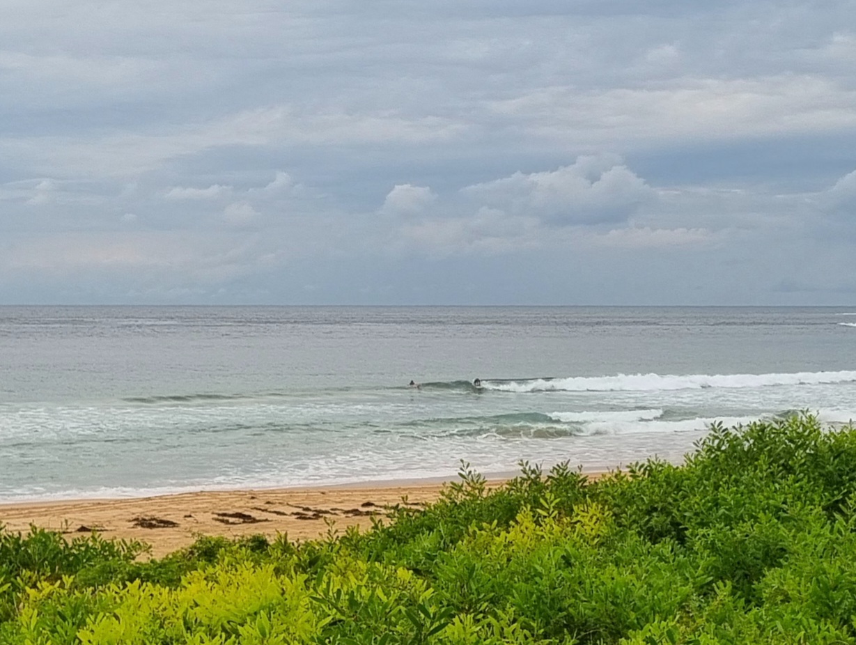
Surf forecast issued Wednesday 20 June 2018: Seven day outlook for Sydney:
Early forecast this week..
Why?..
Just because I can..
It feels like it’s been cold and wet and windy forever, and it’s only been a couple of days! Surf conditions have been less than attractive for most people and, as I haven’t seen any whales at all for the last couple of days (previous days random counts 27, 15, 41..), I suspect they too are sheltering from the unpleasant ocean conditions, in protected corners or bays, before continuing their northward journey.
But with weather conditions generally improving over coming days there could be some surfable waves for the keen people, and whales might start to appear again. The surf outlook looks like this:
Thursday: easing back from today, but still in the upper 1-2 metre range East South East
Friday: ditto (TG is a goat of few words)
Saturday: dittoish, maybe down slightly, but still with sets
Sunday: could be a little change in direction, with waves starting to come up in the 1-2 metre range from dead South at those places that are open to them
Monday: upper end of the 1-2 metre range at places open to dead South swell
Tuesday: ditto
Wednesday: ditto again.
Hope you have a good one.
TG
Up in the Air


Winds
https://www.windy.com/-33.855/151.216?-34.889,151.216,7
Down in the Sea
Water temp is about 19, but there’s some colder water on its way…

Tides
http://www.rms.nsw.gov.au/documents/maritime/usingwaterways/tides-weather/tide-tables-2017-2018.pdf
Weather from the Bureau:
Forecast for the rest of Wednesday
- Summary

- Shower or two.
- Chance of any rain: 50%

Sydney area
Partly cloudy. Slight (30%) chance of a shower. Light winds.
Sun protection not recommended, UV Index predicted to reach 2 [Low]
Thursday 21 June
- Summary

- Min 11
- Max 18
- Cloudy.
- Chance of any rain: 20%

Sydney area
Cloudy. Areas of fog in the west in the early morning. Slight (20%) chance of a shower along the coastal fringe, near zero chance elsewhere. Light winds.
Sun protection not recommended, UV Index predicted to reach 2 [Low]
7 day Town Forecasts
| Precis Icon | Location | Min | Max |
|---|---|---|---|
| Sydney | 11 | 18 | |
| Penrith | 7 | 19 | |
| Liverpool | 7 | 18 | |
| Terrey Hills | 9 | 16 | |
| Richmond | 5 | 19 | |
| Parramatta | 7 | 18 | |
| Campbelltown | 5 | 19 | |
| Bondi | 12 | 17 |
Friday 22 June
- Summary

- Min 9
- Max 18
- Mostly sunny.
- Chance of any rain: 10%

Sydney area
Mostly sunny. Fog and patches of light frost in the west in the early morning. Light winds.
Sun protection not recommended, UV Index predicted to reach 2 [Low]
Saturday 23 June
- Summary

- Min 8
- Max 18
- Sunny.
- Chance of any rain: 5%

Sydney area
Sunny. Areas of morning fog in the west. Light winds.
Sun protection not recommended, UV Index predicted to reach 2 [Low]
Sunday 24 June
- Summary

- Min 7
- Max 18
- Possible late shower.
- Possible rainfall: 0 to 1 mm
- Chance of any rain: 40%

Sydney area
Mostly sunny. Slight (20%) chance of a shower. Light winds.
Monday 25 June
- Summary

- Min 7
- Max 17
- Sunny.
- Chance of any rain: 20%

Sydney area
Sunny. Light winds.
Tuesday 26 June
- Summary

- Min 8
- Max 17
- Shower or two.
- Possible rainfall: 1 to 4 mm
- Chance of any rain: 60%

Sydney area
Partly cloudy. Medium (50%) chance of showers. Light winds.
Wednesday 27 June
- Summary

- Min 9
- Max 17
- Shower or two.
- Possible rainfall: 0 to 4 mm
- Chance of any rain: 50%

Sydney area
Partly cloudy. Medium (50%) chance of showers. Light winds.

