Hello Friends,
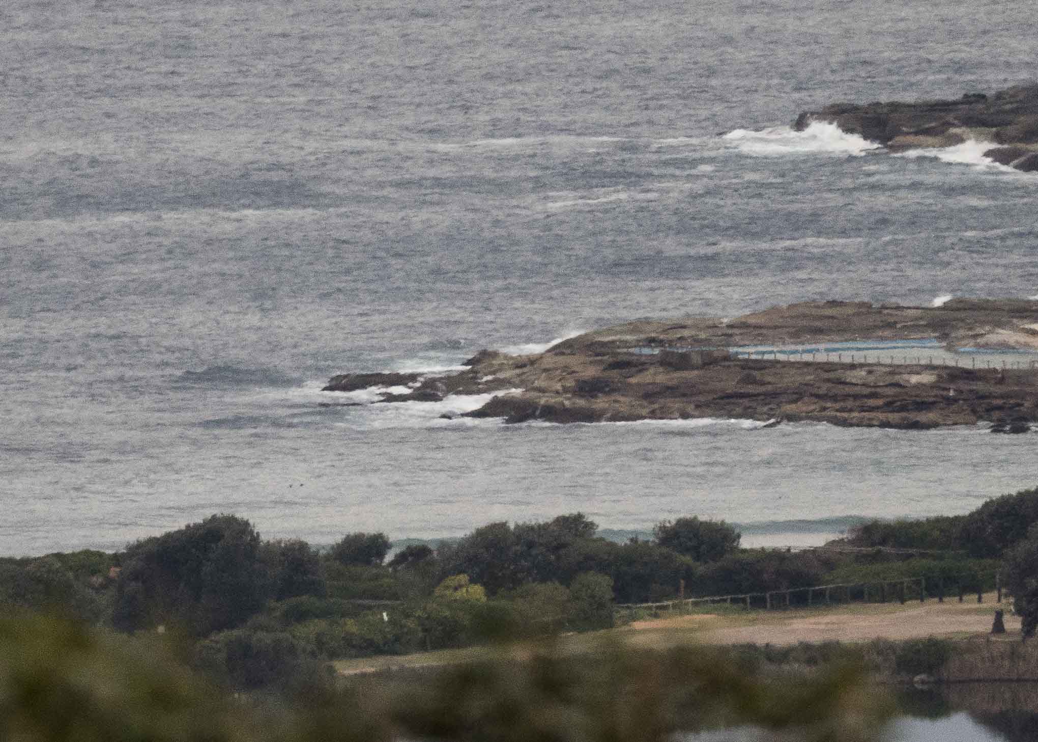
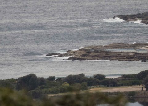
First full day back from our great family adventure and after weeks of neglect, I’m back to my usual routine. Sadly this morning that means telling you that the utter lack of anything rideable continues to be the situation. As you can see from the pics, there was only a bit of froth around the rocks from the metre or so of 6-7 sec ESE wind bump. North Head was showing a light westerly as I tapped out these words. That’s due to go NW and pick up soon as it builds into the 30 kt range later. Not that it matters, but tide hits low at 0850 and then comes back up to a 1.56 m high at 1530.
I’m not liking the look of the forecasts for the next few days. Basically from what the Bureau, MHL and the various forecast models say, we’re outta luck until maybe Thursday-Friday when a little se pulse could make itself felt with some knee to waist high bumps at magnet spots as it moves around to the east. If you want some real waves, head down to Bells. From the look of the charts it should be absolutely pumping and offshore all week. The lucky pups. (If anyone’s down that way and wants to share a pic or two, drop me an email)
Have a great Monday everyone. It’s good to be back, even if there aren’t any waves yet!

Weather Situation
A trough and associated cold front are crossing New South Wales today, bringing a vigorous west to northwesterly change to southern and central waters this morning, reaching northern parts at night. Following this, a high pressure ridge will develop across the state’s north, while further cold fronts skim across the south during Tuesday and Wednesday, maintaining gusty westerly winds in many coastal areas. The ridge is expected to extend further south in the second half of the week, with winds easing and shifting more northerly.
Forecast for Monday until midnight
Strong Wind Warning for Monday for Sydney Coast
- Winds
- Northerly 15 to 20 knots tending northwesterly 15 to 25 knots in the morning, reaching 30 knots during the afternoon and evening.
- Seas
- 1.5 to 2.5 metres.
- Swell
- Northeasterly around 1 metre.
- Weather
- Cloudy. 50% chance of showers.
Tuesday 7 August
Strong Wind Warning for Tuesday for Sydney Coast
- Winds
- Westerly 20 to 30 knots decreasing to 15 to 25 knots in the late afternoon.
- Seas
- 1 to 1.5 metres, increasing to 2 to 3 metres offshore.
- Swell
- Northeasterly below 1 metre.
- Weather
- Sunny.
Wednesday 8 August
- Winds
- West to northwesterly 15 to 25 knots.
- Seas
- Around 1 metre, increasing to 1.5 to 2.5 metres offshore.
- Swell
- Southerly around 1 metre.
- Weather
- Partly cloudy.

