Hello Friends,
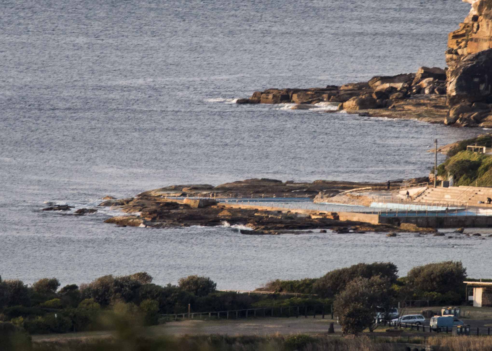
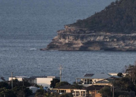
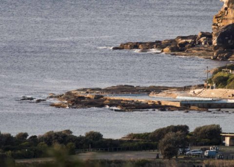
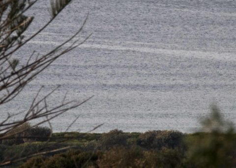
You wouldn’t know it from looking at the conditions, but the MHL buoy was showing a touch under a metre of 10-sec SSE at 0500 which is up a tiny bit from yesterday. Unfortunately if the Bureau has it right, the swell will fade a little later. And hopes for late Thursday and Friday seem to have gone sour as well by their account. The only hope is that the models’ prediction of an increase in energy levels from 10 to maybe 12 seconds which could bring south magnet spots into the just surfable range by Friday morning. Some models are showing swell coming up around Monday – but with periods dialling back. So, it’ll be interesting to see the Goat’s take tomorrow evening.
Have a great Wednesday everyone!
Weather Situation
A high pressure ridge is developing across northern New South Wales while a cold front passes to the south today, maintaining gusty westerly winds in southern coastal areas. The ridge is expected to extend further south during Thursday and Friday, with winds easing.
Forecast for Wednesday until midnight
- Winds
- Northwesterly 15 to 20 knots tending westerly in the late afternoon. Winds reaching up to 25 knots in the evening.
- Seas
- 1 to 1.5 metres, increasing to 1 to 2 metres during the morning.
- Swell
- Southerly 1 to 1.5 metres, decreasing to around 1 metre around midday.
- Weather
- Mostly sunny.
Thursday 9 August
- Winds
- West to southwesterly 15 to 20 knots becoming variable about 10 knots in the early afternoon then becoming northeasterly 10 to 15 knots in the evening.
- Seas
- 1 to 2 metres, decreasing to 1 metre during the morning.
- Swell
- Southerly around 1 metre.
- Weather
- Mostly sunny.
Friday 10 August
- Winds
- Northerly 15 to 20 knots increasing to 20 to 25 knots during the afternoon.
- Seas
- 1 to 1.5 metres, increasing to 1.5 to 2.5 metres during the afternoon or evening.
- Swell
- Southerly below 1 metre.
- Weather
- Mostly sunny.

