
Hello Friends,
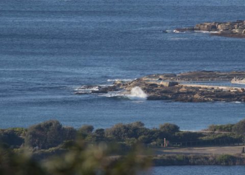
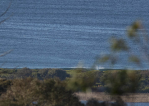
Another sunny morning with light westerly winds but no real sign of surf at Dee Why. There was a tiny line coming in, so one can dream of improvement. The Bureau says the swell should come up offshore. So, will that improve our prospects later today? I’m ever hopeful, but realistically I’ll be happy if we see anything surfable today.
Tide was low at 0640 and is now coming to a 1.5 m high at 1305.
Last night the ever reliable Goat rolled out his predictions for the week ahead, so as always, I commend his wisdom to you.
Have a great Friday everybody!
Weather Situation
A ridge of high pressure is extending across New South Wales from the west, accompanied by light to moderate winds in most coastal areas. Westerly winds will increase in southern and central parts during Saturday as the next cold front affects the region, shifting southwesterly in its wake on Sunday. Following this, a deep low is forecast to develop over the central Tasman Sea, reinforcing a vigorous south to southwesterly flow along the entire coast.
Forecast for Friday until midnight
- Winds
- Westerly 15 to 20 knots, reaching 25 knots offshore in the evening.
- Seas
- Around 1 metre.
- Swell
- Southerly around 1 metre inshore, increasing to 1 to 1.5 metres offshore.
- Weather
- Sunny.
Saturday 18 August
Strong Wind Warning for Saturday for Sydney Coast
- Winds
- West to southwesterly 10 to 15 knots turning northwesterly 15 to 25 knots before dawn then tending westerly 20 to 30 knots in the evening.
- Seas
- 1 to 1.5 metres, increasing to 1.5 to 2.5 metres during the morning.
- Swell
- Southerly 1 to 1.5 metres.
- Weather
- Mostly sunny.
Sunday 19 August
- Winds
- Westerly 20 to 30 knots tending southwesterly 25 to 35 knots during the afternoon.
- Seas
- 2 to 3 metres.
- Swell
- Southerly around 1 metre inshore, increasing to 1 to 1.5 metres offshore during the afternoon or evening.
- Weather
- Partly cloudy. 50% chance of showers.

