Hello Friends,
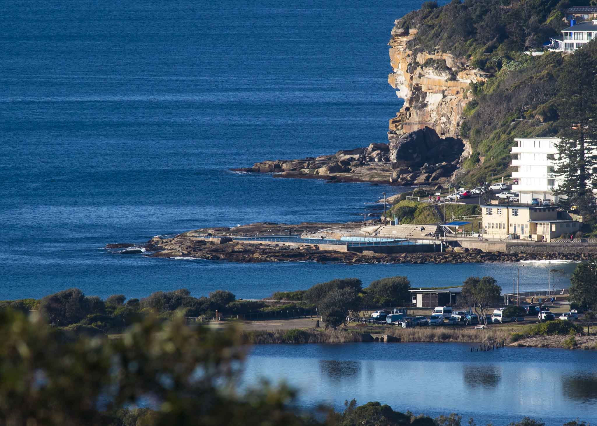
You might want to do all your sunny day activities this morning, because there’s a 70% chance of showers later. Unfortunately yesterday morning’s early bump in energy faded away rapidly and by dusk it was flat again. As you can see from the pics, it was still flat as of 0800. But by dusk the Bureau tells us things should be very different – as in 4-5 metres different.
Looking at the 0600 MHL data, it’s hard to see any sign of the big stuff currently chugging toward us. Sydney was showing a metre at 7 seconds from the S by SSW. Periods and size were pretty much around that mark up and down the coast, although Batemans Bay was showing some 11-sec stuff in the metre range from the SSE.
Given the Bureau’s call, this is definitely a day to keep an eye on things though. Your loyal correspondent will endeavour to do so and I’ll post an update if I see any evidence of the expected dramatic change. FWIW, most of the models are projecting the swell to really start filling in after dark.
And Monday looks pretty solid for south magnets as we get a combo of 3+ metre south swell in the 12 sec range plus gale force SW wind.
Tide was low at 0820 and is currently coming into a 1.47 m high at 1500. Tomorrow morning’s first tide will be a low at 0915 with a 1.48 m high at 1600.
According to all the models, Monday will be the peak, Tuesday will see smaller but still shoulder to head plus, then it fades a bit more across Weds and Thurs – but with any luck it’ll be quite surfable (I’m guessing waist to chest with plusses dropping into the knee to waist range Friday morning.)
Have a great Sunday, and stop by again later!

Weather Situation
A cold front is clearing the far north coast this morning whilst a complex low pressure system has formed over the Tasman Sea. This low is combining with a high pressure system over the Bight to produce fresh to strong west to southwesterly winds. A vigorous south to southwesterly change is expected reach southern parts of the coast this afternoon and evening, and northern parts early tomorrow, as the low pressure system remains over the central Tasman Sea and the high extends its ridge across the state. Winds are forecast to ease from late Monday as the low moves towards New Zealand and the high drifts across the state.
Forecast for Sunday until midnight
Gale Warning for Sunday for Sydney Coast
- Winds
- Westerly 25 to 30 knots becoming south to southwesterly 30 to 40 knots in the evening.
- Seas
- 2 to 4 metres.
- Swell
- Southerly below 1 metre, increasing to 1.5 to 2.5 metres during the afternoon, then increasing to 4 to 5 metres later in the evening.
- Weather
- Sunny morning. 70% chance of showers and the chance of a thunderstorm this afternoon and evening.
- Caution
- Large and powerful surf conditions in the evening are expected to be hazardous for coastal activities such as crossing bars by boat and rock fishing.
Monday 20 August
Gale Warning for Monday for Sydney Coast
- Winds
- Southwesterly 30 to 40 knots decreasing to 20 to 30 knots in the middle of the day then turning westerly 15 to 20 knots in the late evening.
- Seas
- 3 to 5 metres, decreasing to 1.5 to 2.5 metres by early evening.
- Swell
- Southerly 4 to 5 metres.
- Weather
- Partly cloudy. 60% chance of showers and the chance of a thunderstorm offshore in the morning.
- Caution
- Large and powerful surf conditions are expected to be hazardous for coastal activities such as crossing bars by boat and rock fishing.
Tuesday 21 August
- Winds
- Westerly 15 to 25 knots.
- Seas
- 1 to 1.5 metres, increasing to 2 to 2.5 metres offshore during the evening.
- Swell
- Southerly 2 to 3 metres.
- Weather
- Mostly sunny.

