Hello Friends,
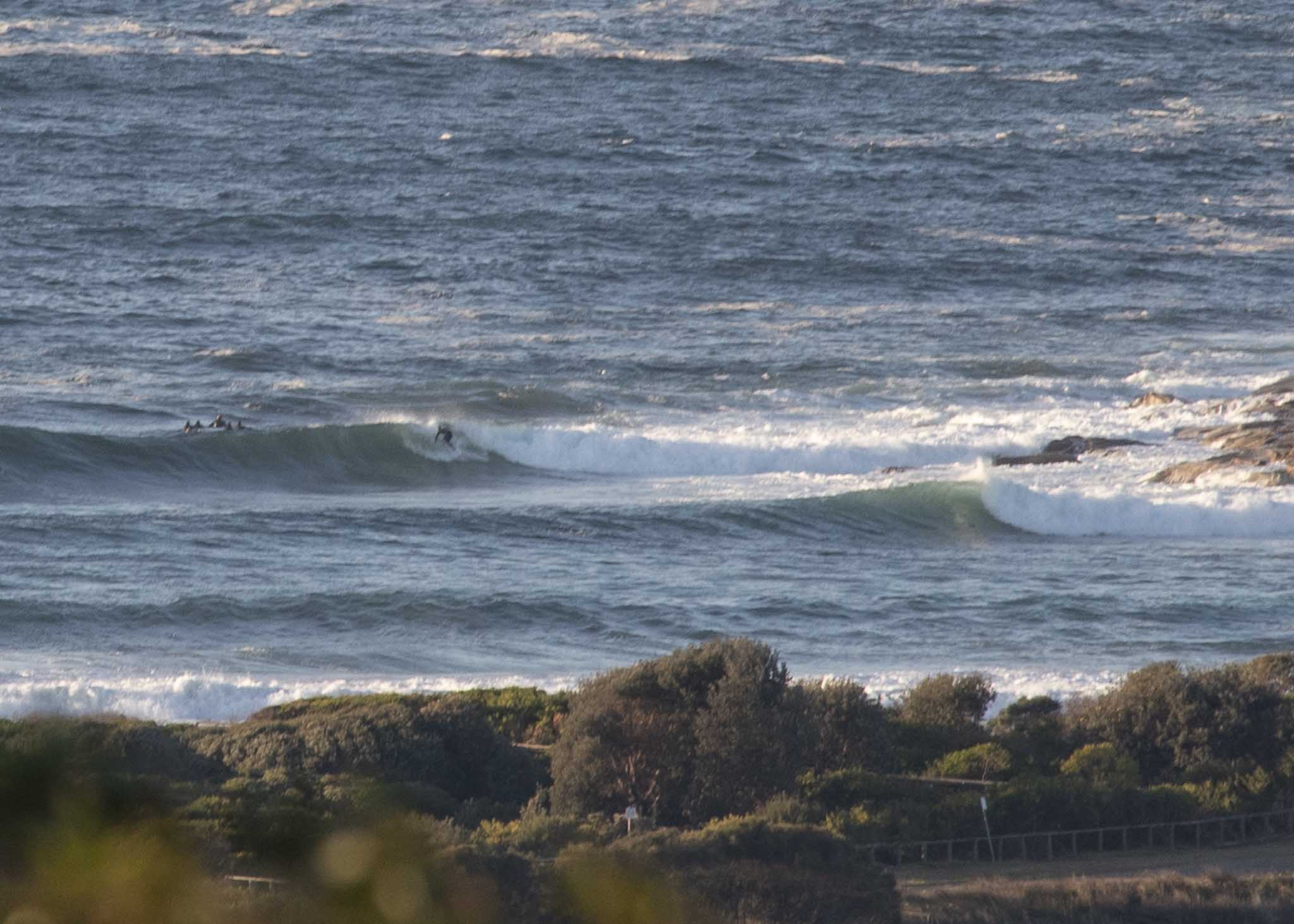
At 0500 the swell was 4 metres and coming from the S-SSE (160°) at 11 seconds apart.
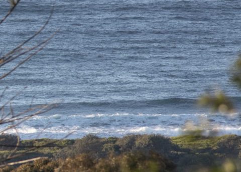
More words and pics later, just wanted to get these up now…
Low tide 0.63@0915, high 1.48@1600

Weather Situation
A complex low pressure system lies over the southern Tasman Sea, while a high pressure system slowly moves across New South Wales. The combination of these two systems is generating vigorous south to southwesterly winds and a large southerly swell across New South Wales waters. Conditions are expected to ease later today as the low moves towards New Zealand and the high becomes dominant. A low pressure trough is forecast to clip the far south on Tuesday evening, with a more significant system to follow towards the weekend.
Forecast for Monday until midnight
Gale Warning for Monday for Sydney Coast
- Winds
- Southwesterly 25 to 35 knots, reaching 40 knots offshore in the morning. Winds decreasing to 20 to 30 knots in the middle of the day, then to 15 to 25 knots by evening.
- Seas
- 3 to 5 metres, decreasing to 1 to 2 metres by early evening.
- Swell
- Southerly 4 to 5 metres, decreasing to 3 metres later in the evening.
- Weather
- Partly cloudy. The chance of squally thunderstorms offshore early in the morning.
- Caution
- Large and powerful surf conditions are expected to be hazardous for coastal activities such as crossing bars by boat and rock fishing.
Tuesday 21 August
Strong Wind Warning for Tuesday for Sydney Coast
- Winds
- Westerly 20 to 25 knots increasing to 25 to 30 knots in the late afternoon.
- Seas
- 1 to 1.5 metres, increasing to 2 to 3 metres offshore.
- Swell
- Southerly 2 to 3 metres.
- Weather
- Mostly sunny.
Wednesday 22 August
- Winds
- West to southwesterly 20 to 30 knots turning southerly 20 to 25 knots during the day.
- Seas
- 2 to 2.5 metres.
- Swell
- Southerly 1.5 to 2.5 metres.
- Weather
- Partly cloudy.

