Hello Friends,
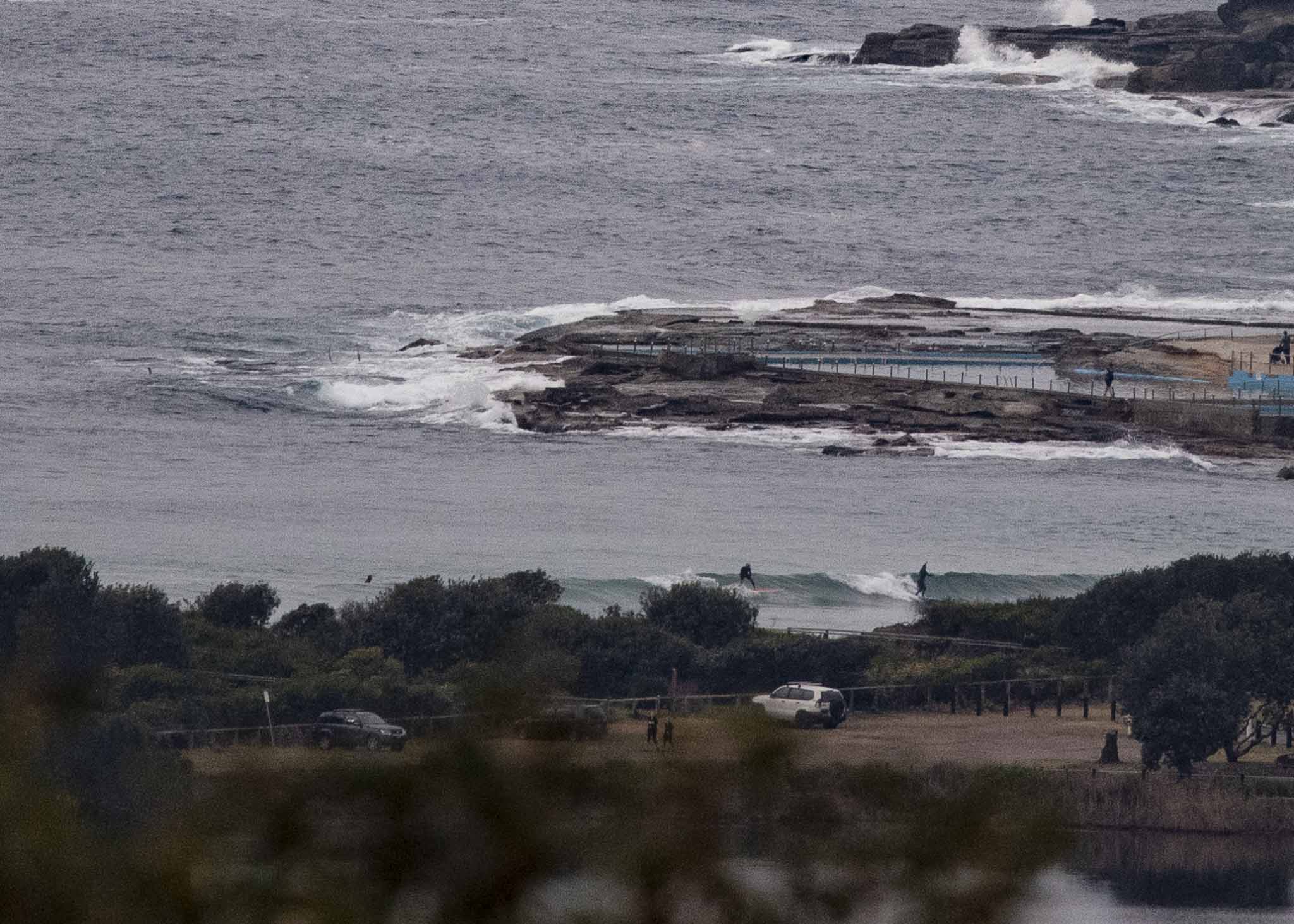
Grey skies and a rainy period heading toward Sydney as of 0830. Not enough swell to get the point going, but if there’s a little wave board in your quiver, you might get the odd knee high bump at Kiddies.
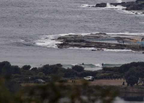
As of 0700, the MHL buoy off Sydney was showing 1.2 metres of 15-sec (!) energy from the SSE (150-154°). Wind at North Head was 6-8 kts from the west. Beachwatch reports that water is a chilly for Sydney 15°C. Tide was high (1.37 m) at 0815 and will be low (0.45 m) at 1355.
The Bureau tells us to expect the wind to go more northerly across the middle part of the day and although it’s not apparent on the MHL spectra, they tell us we should have both southerly and NE components in the swell. They’ve also hoisted the Gale Warning for a southerly tomorrow. From the models though, it looks like being short period junk.
Tuesday could see the swell build mainly from the south, for the periods to stretch into the 10-sec range and for the wind to get more SW under partly cloudy skies. But things start looking much more interesting for Wednesday-Thursday when there seems to be a consensus among the predictions that we ought to see solid SSE swell in the head to overhead range thanks to an uptick in both the size and period. If I had to pick a day to pull a sickie, it’d be Thursday morning…. with luck the good conditions will last through Friday.
Have a top old Sunday everyone!
Weather Situation
A weak trough has stalled over southern parts of the coast, generating light southerly winds. Northerly winds elsewhere will freshen today as a low over northeast NSW moves slowly east during the day before shifting over the northern parts of the coast this evening. The low will deepen as it moves further southeast over the Tasman Sea later today and on Monday, generating a vigorous south to southwesterly wind change across the waters. Winds ease Tuesday and Wednesday as a high pressure system over the State strengthens a ridge across the coast.
Forecast for Sunday until midnight
- Winds
- Northerly 10 to 15 knots, reaching up to 20 knots offshore during the morning and early afternoon. Winds becoming variable about 10 knots in the evening, then tend southwesterly in the late evening.
- Seas
- 1 to 1.5 metres, decreasing to 1 metre during the afternoon.
- 1st Swell
- Southerly around 1 metre.
- 2nd Swell
- Northeasterly around 1 metre.
- Weather
- Cloudy. 80% chance of showers. The chance of a thunderstorm, more likely this afternoon and evening.
Monday 27 August
Gale Warning for Monday for Sydney Coast
- Winds
- Southwesterly 10 to 15 knots turning southerly 20 to 30 knots early in the morning. Winds reaching up to 35 knots offshore in the late morning.
- Seas
- Below 1 metre, increasing to 2 to 4 metres during the morning.
- Swell
- Southerly below 0.5 metres, increasing to 1.5 to 2.5 metres during the morning.
- Weather
- Partly cloudy. 70% chance of showers. The chance of a thunderstorm offshore in the early morning.
Tuesday 28 August
- Winds
- South to southwesterly 20 to 25 knots.
- Seas
- 1.5 to 2 metres.
- 1st Swell
- Southerly 1 to 1.5 metres inshore, increasing to 1.5 to 2 metres offshore.
- 2nd Swell
- Northeasterly 1 to 1.5 metres.
- Weather
- Partly cloudy.


