Hello Friends,
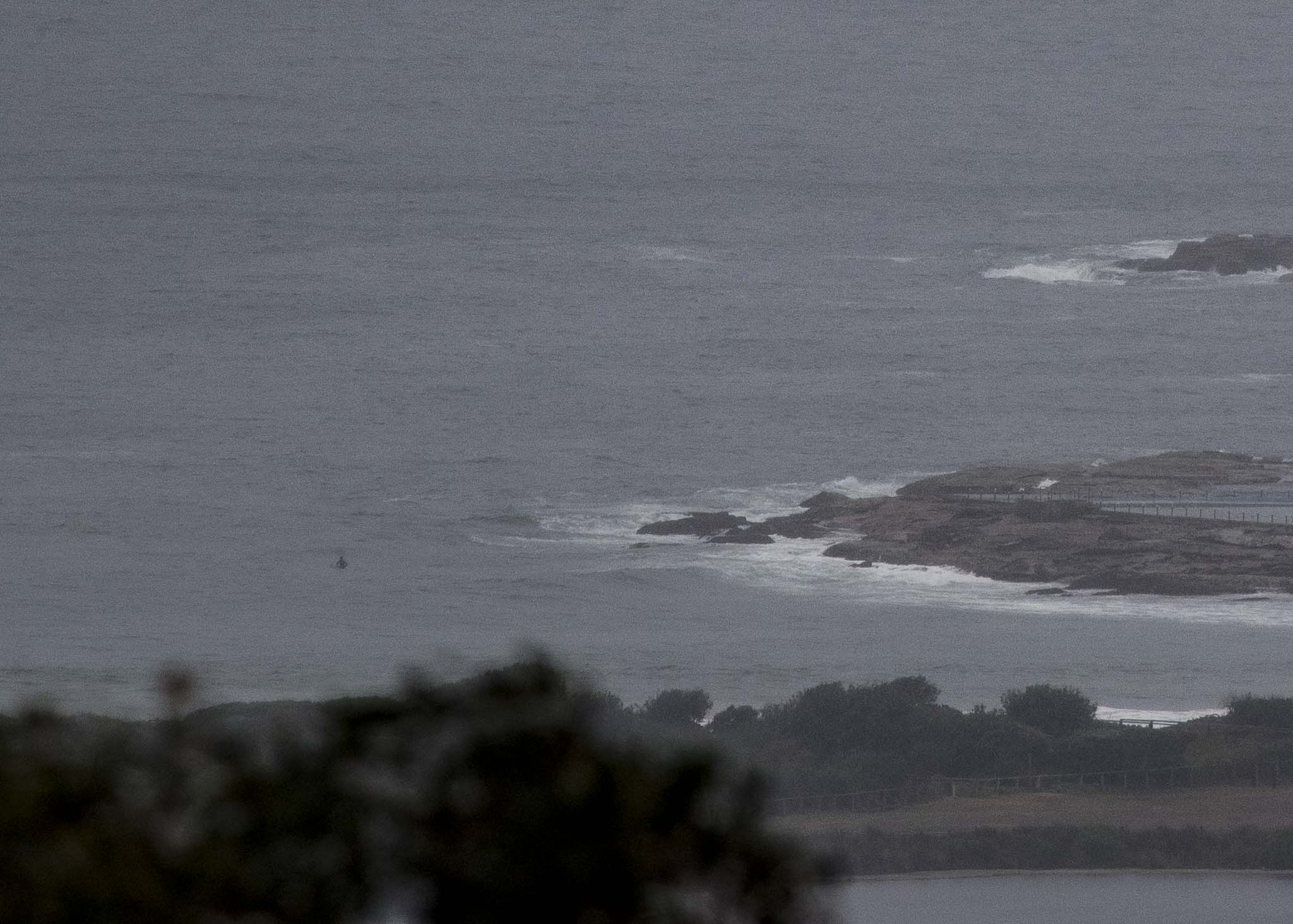
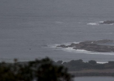
The rain was falling lightly but steadily when I climbed aloft for a look at the conditions. As the picture shows, it was very small at Dee Why as of 0720. Wind was south at 8-9 kts and the latest MHL data from 0600 showed 1.4 metres from 158° (SSE) at an eye-popping 16.7 seconds. Given that period, the lulls between sets will likely be long ones, so take the picture with a grain of salt. There could be bigger waves every now and then.
Tide is low at 0925 and then back to a 1.6 m high just before 1600.
The rainy conditions are forecast to continue through Saturday and the wind should be in the 20-30 kt range from the SE through the period. The models show wind staying southerly until Monday night. Against that backdrop, the swell is expected to peak into the 2.5 metre range tomorrow and to be close to that size Saturday as well.
Looking ahead to next week, most of the models are showing swell filling in again from Wednesday afternoon, but at the same time the wind outlook is for more SE wind. Sigh.
Have a happy and productive Thursday everyone!
Weather Situation
A trough that brought a southerly change to the south coast yesterday has stalled about the Hunter coast. A low pressure circulation is expected to develop within the trough today and then strengthen overnight, bringing vigorous south to southeasterly winds to central parts of the coast. The trough and low is forecast to gradually move northward during Friday, pushing the southerly change along the north coast. This system is expected to weaken on the weekend as a high pressure system over the southern Tasman extend a ridge northward along the New South Wales coast.
Forecast for Thursday until midnight
Strong Wind Warning for Thursday for Sydney Coast
- Winds
- Southeast to southwesterly 15 to 20 knots tending southeasterly 20 to 30 knots in the late evening.
- Seas
- Around 1 metre, increasing to 1 to 2 metres during the afternoon.
- 1st Swell
- Southerly around 1 metre, increasing to 1 to 1.5 metres inshore later in the evening.
- 2nd Swell
- Northeasterly around 1 metre.
- Weather
- Cloudy. Near 100% chance of rain. The chance of a thunderstorm.
Friday 5 October
Gale Warning for Friday for Sydney Coast
- Winds
- South to southeasterly 20 to 30 knots, reaching up to 35 knots early in the morning.
- Seas
- 2 to 3 metres, increasing to 2.5 to 4 metres offshore during the morning.
- 1st Swell
- Southerly 1.5 to 2.5 metres, tending southeasterly 2 to 2.5 metres around midday.
- 2nd Swell
- Northeasterly around 1 metre, tending easterly 1 to 1.5 metres during the afternoon.
- Weather
- Cloudy. 90% chance of rain.
- Caution
- Large and powerful surf conditions are expected to be hazardous for coastal activities such as crossing bars by boat and rock fishing.
Saturday 6 October
- Winds
- Southeasterly 20 to 30 knots tending southerly 25 to 30 knots during the morning.
- Seas
- 2 to 3 metres.
- 1st Swell
- Southerly 1.5 to 2 metres, decreasing to 1 to 1.5 metres during the evening.
- 2nd Swell
- Easterly 1.5 to 2 metres, decreasing to 1.5 metres during the evening.
- Weather
- Cloudy. 80% chance of showers.

