Hello Friends,
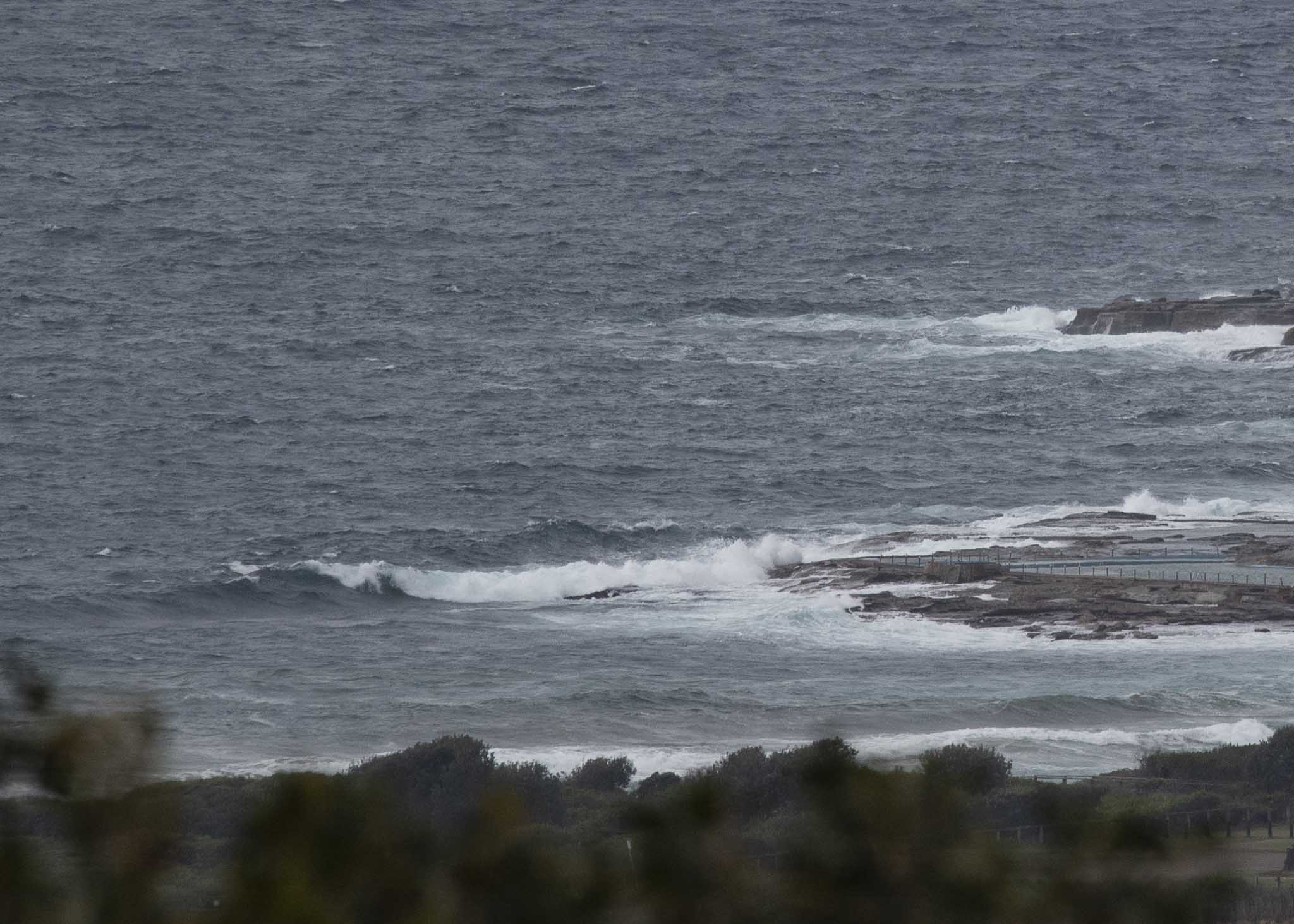
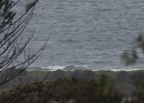
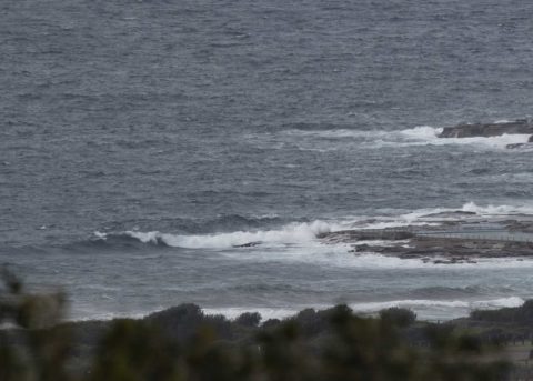
12-16 kts of SE wind to kick off the morning’s beachside activities. More cloudy skies too, and although the swell popped up to 3 metres at 11 seconds from the SSE (158°), it’s not looking too enticing at Dee Why. As of 0830 there didn’t appear to be any people in the water and sets looked to be maybe chest to shoulder high.
Unsurprisingly given the rain, Beachwatch reports that pollution is possible from Collaroy south to Manly (apart from south Curly). They report that water temp is 19C.
Outlook is for the onshores to continue into the weekend, although they are set to swing more to the NE from Saturday and stay that way right through most of next week. So, possibilities maybe in a few north corners, particularly early…
Have a top old Thursday!
Weather Situation
Vigorous south to southeast winds have been affecting the waters in association with a cold front that moved across the region yesterday. In the wake of the front, a high pressure system near Tasmania is forecast to extend a ridge along the New South Wales coast. As this high drifts eastwards to the Tasman Sea at the end of the week, winds are expected to tend east to northeast.
Forecast for Thursday until midnight
- Winds
- Southeasterly 15 to 20 knots.
- Seas
- 1 to 1.5 metres.
- Swell
- Southerly 2 to 2.5 metres.
- Weather
- Cloudy.
Friday 12 October
- Winds
- Southeasterly 10 to 15 knots turning easterly in the late morning and afternoon.
- Seas
- Around 1 metre.
- Swell
- Southerly 2 metres, tending southeasterly 2 metres around midday.
- Weather
- Cloudy.
Saturday 13 October
- Winds
- Easterly 15 to 25 knots turning northeasterly 20 to 25 knots during the afternoon.
- Seas
- 1 to 1.5 metres, increasing to 1.5 to 2 metres during the morning.
- 1st Swell
- Southeasterly 2 to 2.5 metres.
- 2nd Swell
- Easterly around 1 metre.
- Weather
- Cloudy. 60% chance of showers.

