Hello Friends,
Looks like another day of microness coming up in Sydney this morning. Wind was offshore, but the MHL buoy report from a metre of 5-sec period wind chop from the southern quarters. And judging from the
Bureau’s call, there’s no relief in prospect for a few days yet. The models show an iflux of strong NE wind midweek, but though the waves should bump up, it’ll be low quality short period windswell – and the biggest stuff is likely to be where the onshores are strongest.
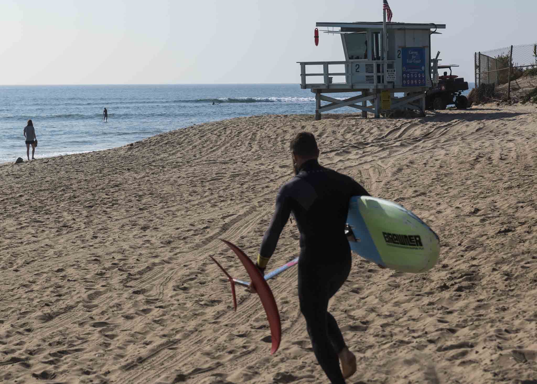
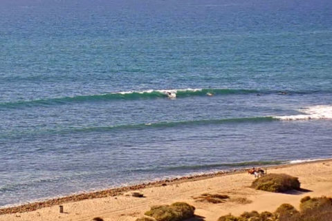
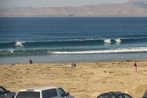
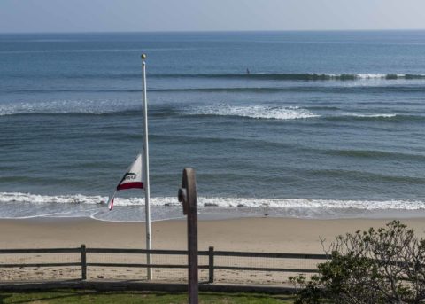
Meanwhile, we too are waiting for something to improve in California. It’s really small up and down the coast, and where I am, it’s flat.
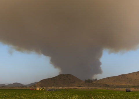
Yesterday my sister and I drove down to Malibu to check out a California State park site called the Adamson House. The place was built by a family that owned most of the Malibu area in the early 20th century and it’s right on the point at Malibu. Great example of the Spanish style and a fun spot to visit for history buffs – plus you can check out the ‘bu. Driving back to Santa Barbara, we saw the first smoke from a serious fire that started in the hills inland from Malibu. Like Australia, California is having more bad fires each year as the climate gets hotter and hotter thanks to us humans…

Weather Situation
A high pressure system over the Tasman Sea extends a ridge towards the northern New South Wales coast. A trough will bring a weak southerly change to southern and central parts of the coast today, before stalling and dissipating on the Macquarie coast. The Tasman high is then expected to remain dominant for several days, with the next trough forecast to arrive during the second half of the week.
Forecast for Saturday until midnight
Winds
North to northwesterly about 10 knots tending south to southeasterly 10 to 15 knots in the middle of the day then becoming east to southeasterly below 10 knots in the evening.
Seas
Below 1 metre, increasing to 1 to 1.5 metres around midday.
Swell
Southerly below 1 metre.
Weather
The chance of a thunderstorm offshore this morning. Mostly sunny afternoon.
Sunday 11 November
Winds
South to southwesterly below 10 knots becoming southeasterly in the middle of the day then tending east to northeasterly 10 to 15 knots in the evening.
Seas
Below 1 metre.
Swell
Northeasterly below 1 metre.
Weather
Sunny.
Monday 12 November
Winds
Northeasterly 10 to 15 knots increasing to 15 to 20 knots during the day.
Seas
1 to 1.5 metres.
Swell
Southerly below 1 metre.
Weather
Mostly sunny.

