Hello Friends,
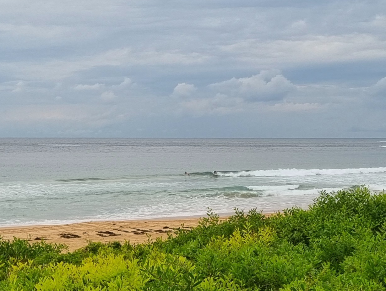
As of 0800 we had 8-13 kts of ESE wind at North Head. The MHL buoy off Sydney was detecting 2.2 metres of dead south swell at 11 seconds. So, there should be something at south magnets, but the onshore conditions and a deep 1.7 m high tide at 0740 will mean lumpy, bumpy waist and a bit sets with the odd (maybe) bigger one. Skies are cloudy as I write this and there’s a 40% chance of a shower inland and 20% out along the coast. UV is 12, so hats and sunscreen on from now until 1700. Beachwatch says water is 19.
Today’s swell modelling is not all that exciting for our part of the world. Both the ECM and Wavewatch models project a change in swell regime from south to east around Thursday, but while the size at sea is predicted to hang around the metre mark, the periods are expected to be in the 5-7 second range (ie chop).
Oh well. It is summer after all.
Have a great Wednesday everyone!
Weather Situation
A high centred over eastern Bass Strait directs south to southeast winds along the coast. As the high shifts east into the Tasman Sea over the next day or so winds will tend north to northeasterly before increasing fresh to strong on Friday and Saturday as a trough approaches from the west.
Forecast for Wednesday until midnight
- Winds
- Southerly 10 to 15 knots turning easterly in the early afternoon.
- Seas
- Below 1 metre.
- Swell
- Southerly 1.5 to 2 metres, decreasing to 1.5 metres around midday.
- Weather
- Cloudy morning, mostly sunny afternoon.
Thursday 6 December
- Winds
- Northeasterly 15 to 20 knots.
- Seas
- Around 1 metre, increasing to 1 to 1.5 metres during the afternoon.
- Swell
- Southerly 1 to 1.5 metres, decreasing to around 1 metre during the morning.
- Weather
- Partly cloudy.
Friday 7 December
- Winds
- Northeasterly 20 to 30 knots.
- Seas
- 1 to 1.5 metres, increasing to 1.5 to 2.5 metres during the afternoon or evening.
- Swell
- Southerly below 1 metre.
- Weather
- Mostly sunny.

