Hello Friends,
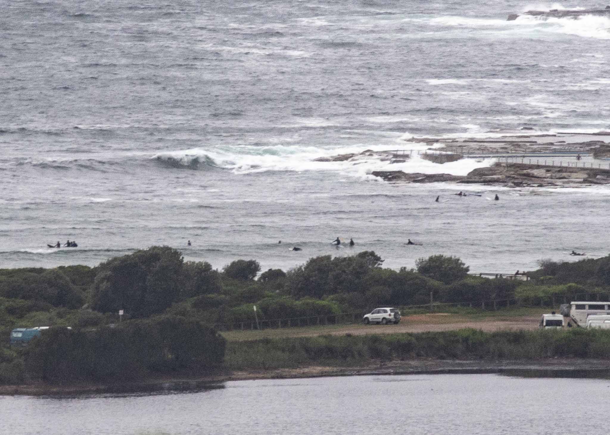
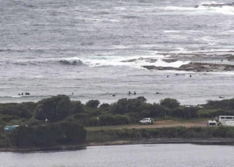
Wind was straight south at 10-15 kts when I climbed aloft for this morning’s snap, but interestingly Dee Why didn’t look too blown out. As the picture shows, there were a few keen types in the water chasing the small waves coming off the 7-sec 2.4 metre dead south swell out at sea. Size along the beach seemed to be in the waist plus range. Tide was just off its 1.77 m high at 0920. There were a few spitty drops in the wind and the Bureau expects only occasional light showers.
Outlook is for the wind to push up later in the day and unfortunately surf prospects are not great according to the long range models. There should be some residual south bump tomorrow morning, but right now the rest of the week is looking pretty quiet unfortunately. The most optimistic prediction shows a little bump Thr-Fri, but we’re only talking waist to chest at this stage.
Have a top old Sunday everyone!
Forecast for Sunday until midnight
Strong Wind Warning for Sunday for Sydney Coast
Winds
Southerly 20 to 25 knots, reaching up 30 knots offshore during the morning. Winds decreasing to 15 to 20 knots in the afternoon and turning southeasterly 10 to 15 knots in the evening.
Seas
1.5 to 2.5 metres, decreasing to 1 to 1.5 metres during the afternoon.
1st Swell
Northeasterly 1 to 1.5 metres.
2nd Swell
Southerly around 1 metre.
Weather
Cloudy.
Monday 7 January
Winds
Southeasterly 10 to 15 knots turning east to northeasterly during the afternoon and evening.
Seas
Around 1 metre.
1st Swell
Southerly around 1 metre.
2nd Swell
Northeasterly around 1 metre.
Weather
Cloudy.
Tuesday 8 January
Winds
Northeasterly 10 to 15 knots turning northerly 15 to 20 knots during the afternoon.
Seas
Below 1 metre, increasing to 1 to 1.5 metres offshore during the afternoon or evening.
Swell
Southerly around 1 metre.
Weather
Partly cloudy. The chance of a thunderstorm in the afternoon.

