Hello Friends,
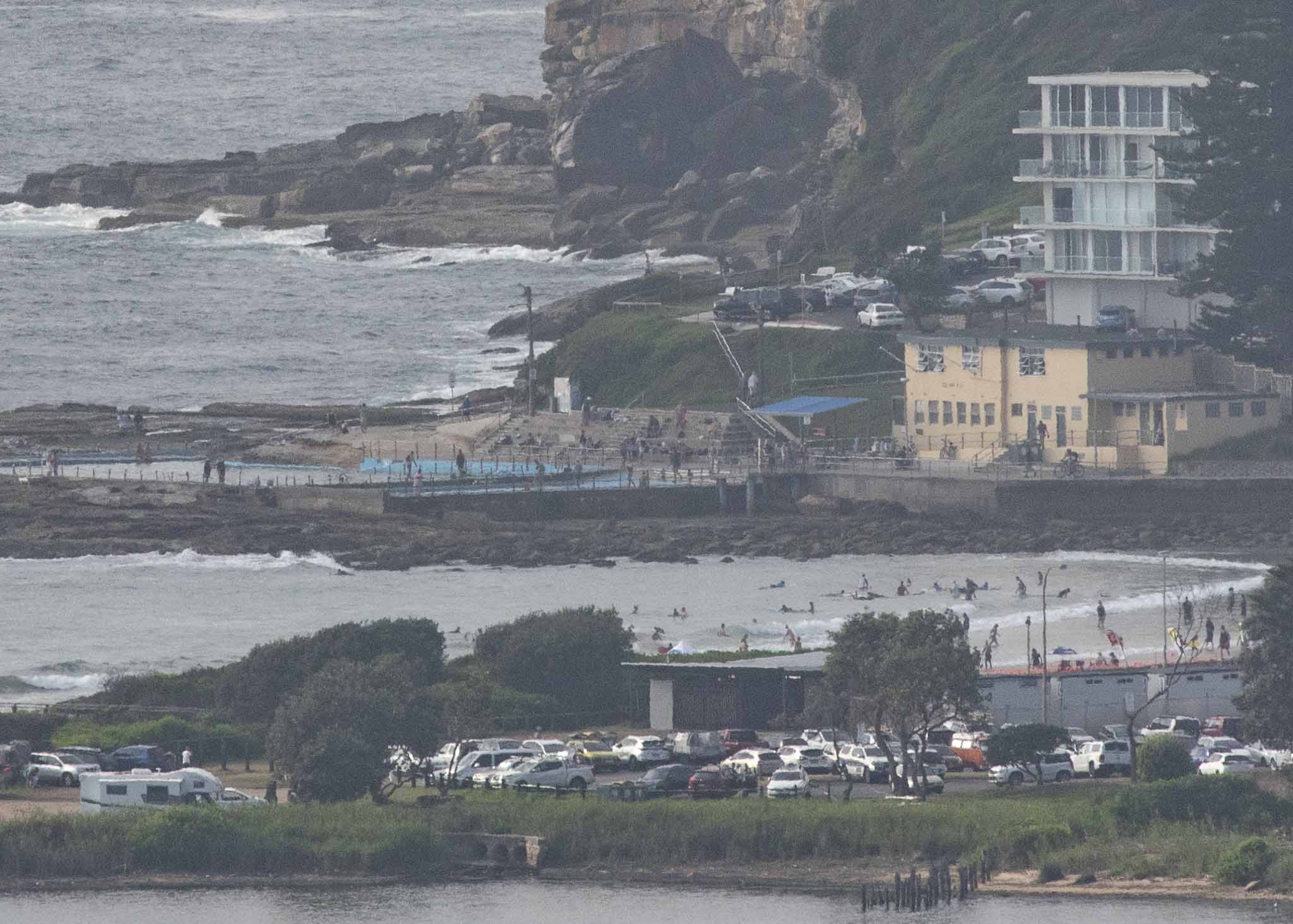
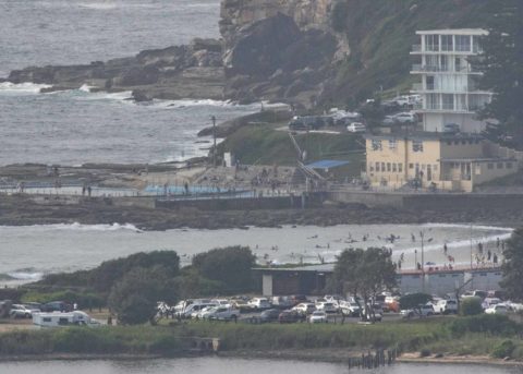
Another “I don’t care, I’m getting wet” day along the beaches. Although wave quality is in the 1-star range, there should be the odd chest high face amongst the knee to knee and a bit bumps at magnet spots this morning. Don’t expect it to be uncrowded. Even at Dee Why with it’s less than optimal orientation, there were a fair number in.
Wind was offshore for the early session, but the Bureau says it’ll track around to the north at 15-25 kt ahead of a mid-day south change. The directional spectrum chart from the Sydney buoy shows the bulk of the energy coming out of the south. It’s 1.4 metres out at sea and 7 seconds apart. There looks to be some longer period stuff in the mix, so you may see the odd sneaker set…
Tide was low at 0810 and is currently coming into the 1.5m high at 1415. Coastal temps are predicted to peak at 32 and UV is an extreme 13 until 1720 – so look after your skin!
The short period wind swell looks like hanging in there all week, but the models show it gradually getting bigger and peaking in the 2+ metre range toward Friday. Unfortunately the wind call is for blasting southerlies from the get-go on Friday morning.
So, not a hopeless outlook for the week ahead. Go well!

Weather Situation
A persistent ridge over the northwestern Tasman Sea is maintaining north to northeasterly winds along the north coast. A southerly change over the far south coast this morning will extend northwards to central parts of the coast during the day today. The trough is then forecast to dissipate later on Monday, with north northeasterly winds expected to extend throughout during Tuesday under the influence of the ridge.
Forecast for Sunday until midnight
- Winds
- Northerly 15 to 25 knots, tending southerly 10 to 15 knots inshore at first. Winds shifting southerly 15 to 20 knots in the middle of the day.
- Seas
- 1 to 2 metres.
- 1st Swell
- Northeasterly around 1 metre, increasing to 1 to 1.5 metres around midday, then increasing to 1.5 to 2 metres by early evening.
- 2nd Swell
- Southerly 1 to 1.5 metres, decreasing to around 1 metre during the morning.
- Weather
- Mostly sunny day. The chance of a thunderstorm inshore late this afternoon and evening.
Monday 28 January
- Winds
- South to southwesterly 15 to 20 knots shifting north to northeasterly in the evening. Winds reaching up to 25 knots offshore in the late evening.
- Seas
- 1.5 to 2 metres, decreasing to 1 to 1.5 metres during the morning, then decreasing below 1 metre by early evening.
- 1st Swell
- Northeasterly 1.5 to 2 metres, decreasing to 1 to 1.5 metres during the morning.
- 2nd Swell
- Southerly around 1 metre, increasing to 1 to 1.5 metres during the morning.
- Weather
- Partly cloudy.
Tuesday 29 January
- Winds
- Northerly 20 to 30 knots tending northeasterly during the morning.
- Seas
- Around 1 metre, increasing to 1.5 to 2.5 metres during the morning.
- Swell
- Southerly around 1 metre.
- Weather
- Mostly sunny.

